


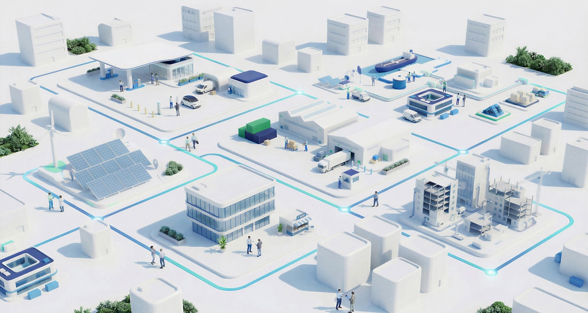
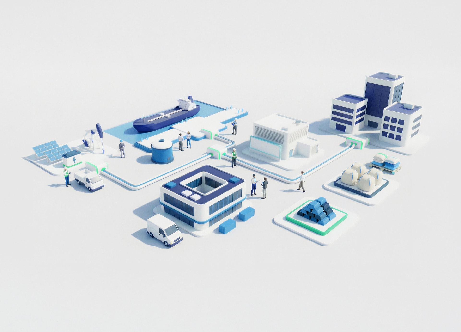
- Commodity Management & Trading

- Customer & Marketing Strategy

- Digital Engineering

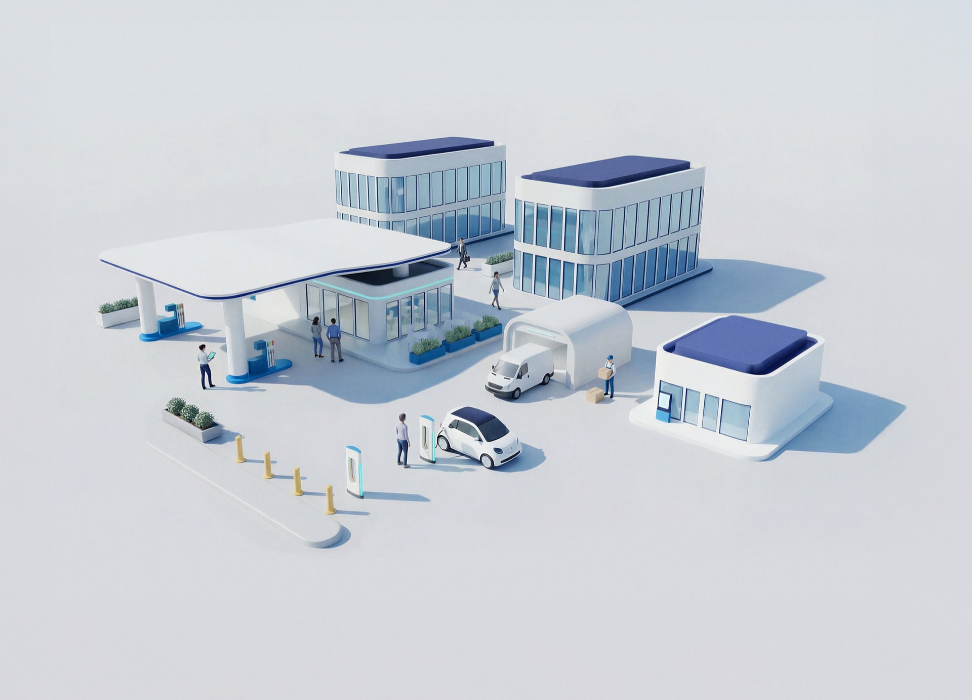
- Station Studio

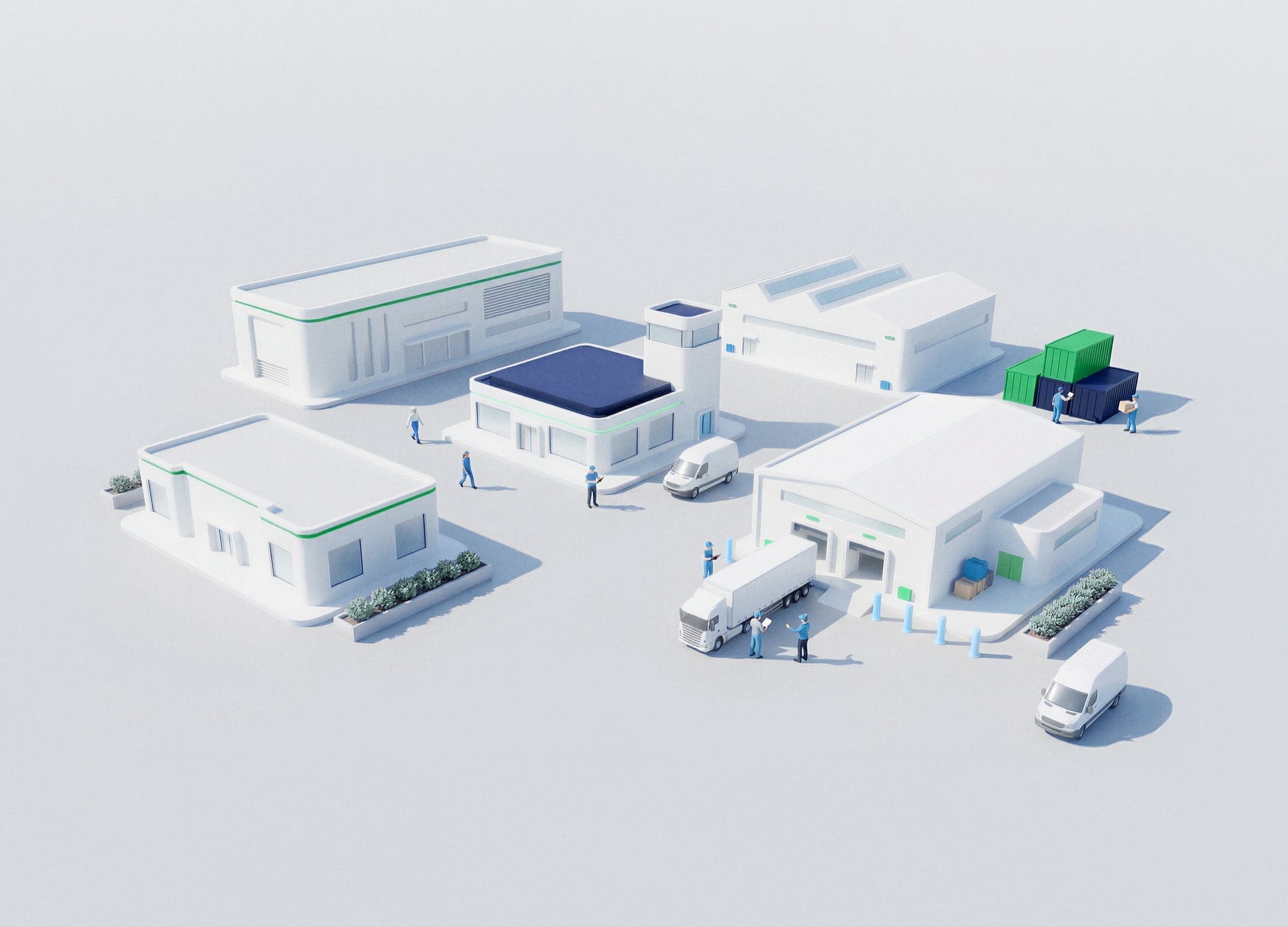
- Supply Chain & Industry 5.0
- Sustainability

Commodity Management & Trading
Transforming trading ecosystems through data-driven insights and secure, agile platforms that empower global commerce.

Customer & Marketing Strategy
Reimagining customer engagement with personalized, connected experiences that build trust and long-term value.

Digital Engineering
Turning ideas into scalable digital solutions—accelerating transformation through design, technology, and engineering excellence.
Station Studio
Redefining mobility hubs with digital innovation to create smarter, sustainable experiences for people and businesses on the move.
Supply Chain & Industry 5.0
Building resilient, intelligent supply networks that anticipate change and deliver efficiency with purpose.

Sustainability
Driving responsible innovation to help organizations achieve net-zero goals and create a positive impact for future generations.


GIS Implementation
A unified GIS platform enabled end-to-end visibility and integration across high, medium, and low voltage networks, improving coordination and operational control across multiple distribution companies

Integrated systems
Seamless connection with SAP, ADMS, and document management
Unified network model
Migration to a standardized Utility Network data model
Operational readiness
Go-live achieved with trained users and support model
Cross-company alignment
Coordinated change management across all entities

A multi-utility GIS transformation unified networks, systems, and operations
Integration of GIS Systems and Operational Modernization
Initiative to integrate GIS/CAD systems, connect with SAP and ADMS, and unify teams and processes. It includes the implementation of ArcGIS and ArcFM XI, along with training to drive adoption.

Fragmented network data
Multiple legacy GIS and CAD systems
Multiple legacy GIS and CAD systems

System integration complexity
Need to connect with SAP, ADMS, and others
Need to connect with SAP, ADMS, and others

Organizational alignment
Multiple companies and stakeholders involved
Multiple companies and stakeholders involved

User adoption
Training required across diverse teams
Training required across diverse teams

Platform deployment
Configured ArcGIS and ArcFM XI suite
Configured ArcGIS and ArcFM XI suite
Solution
Deploy and integrate ArcGIS and ArcFM XI
Data migration
Transitioned GIS and CAD into Utility Network model
System integration
Connected with SAP, ADMS, and document systems
Change management
Coordinated transformation across companies
Training and support
Enabled users and ensured post-go-live continuity
Impact
Connected, scalable network operations
Improved visibility, integration, and operational coordination across all managed networks
Featured
success stories
success stories
Empowering field operations through digitalized service management and improving safety conditions trough connected worker technologies
View all success stories