


Geospatial Risk Intelligence for Infrastructure
分断されたシステムや不完全な資産台帳、統一されていない業務プロセスにより、脆弱性の把握が難しく、安定した運用の確保が妨げられています。
Geospatial Risk Intelligence turns environmental change into operational foresight — helping teams see risk patterns earlier, prioritize interventions, and protect distributed assets
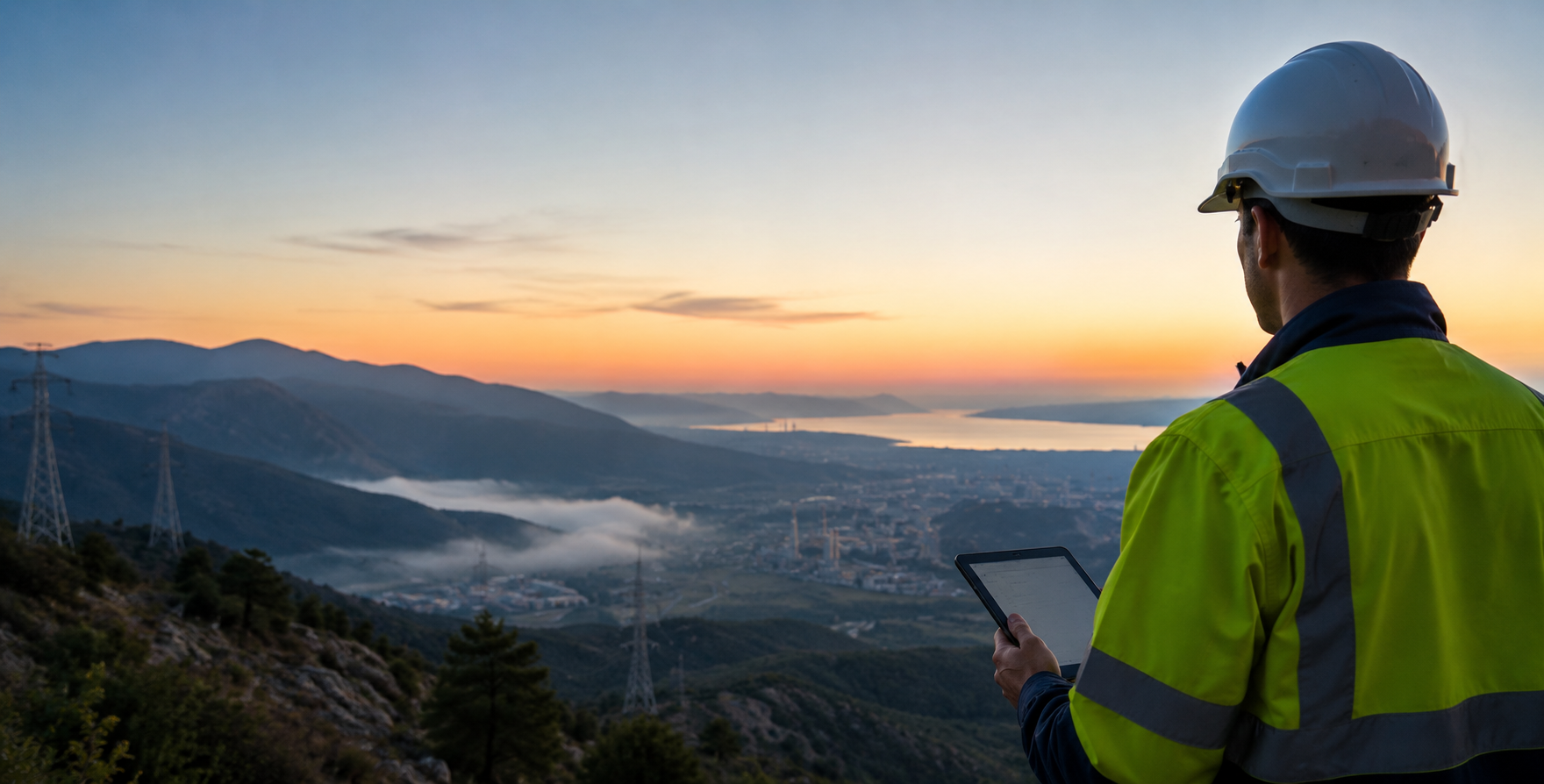
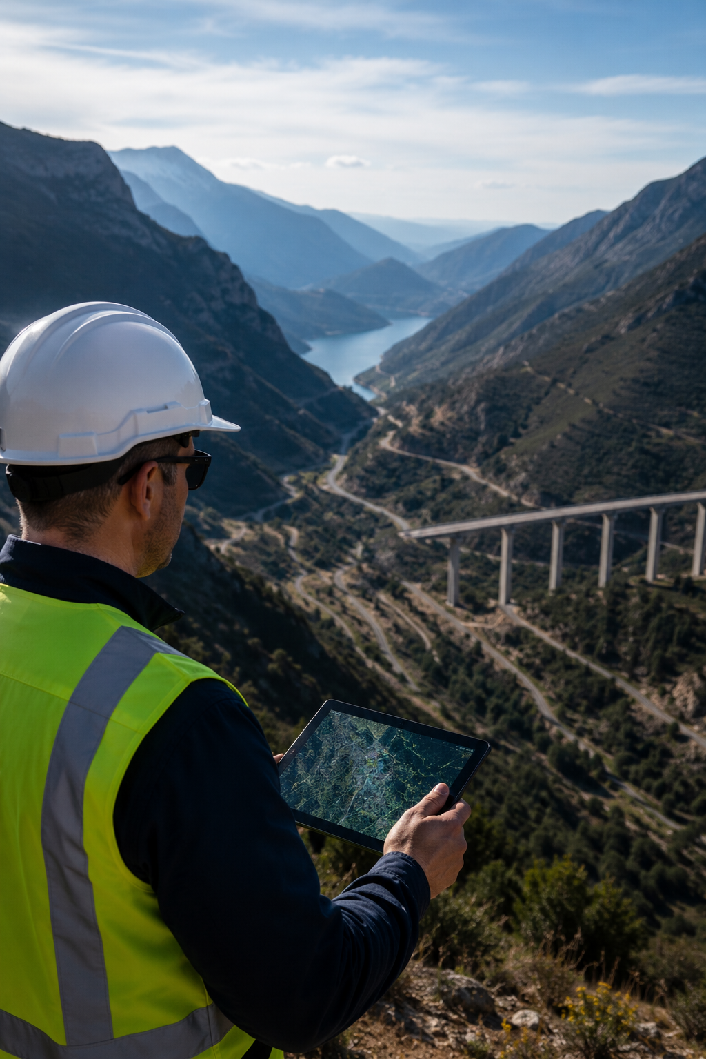
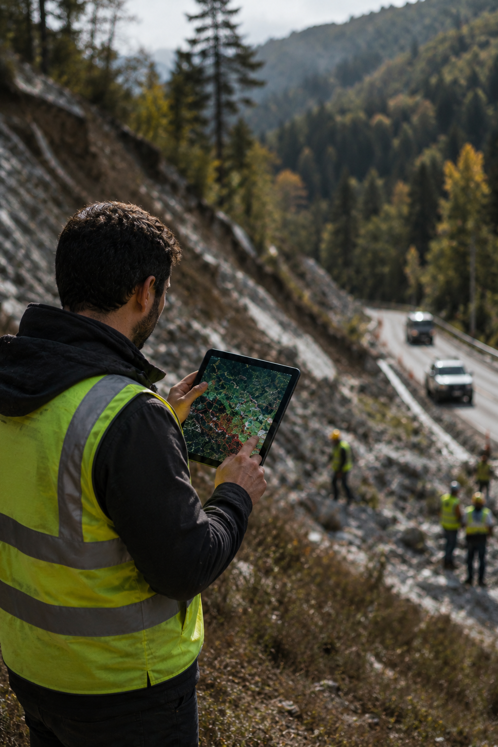
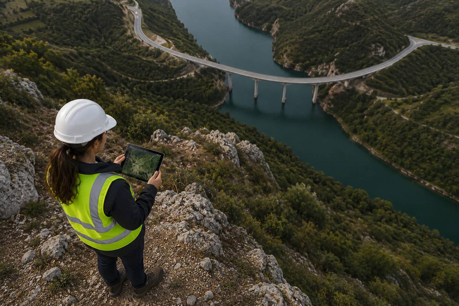
Monitor large and remote infrastructure environments without relying exclusively on field inspections or local instrumentation
Detect terrain displacement, slope instability, subsidence, and deformation patterns before visible signs appear
Track vegetation growth, land-use evolution, erosion, and environmental changes before they affect assets or worksites
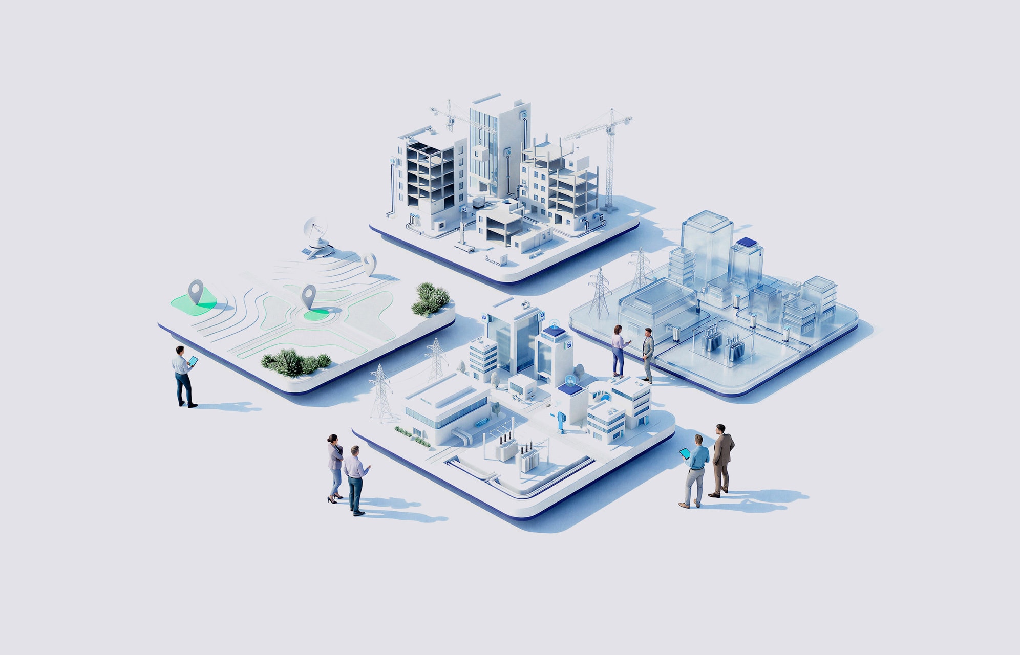
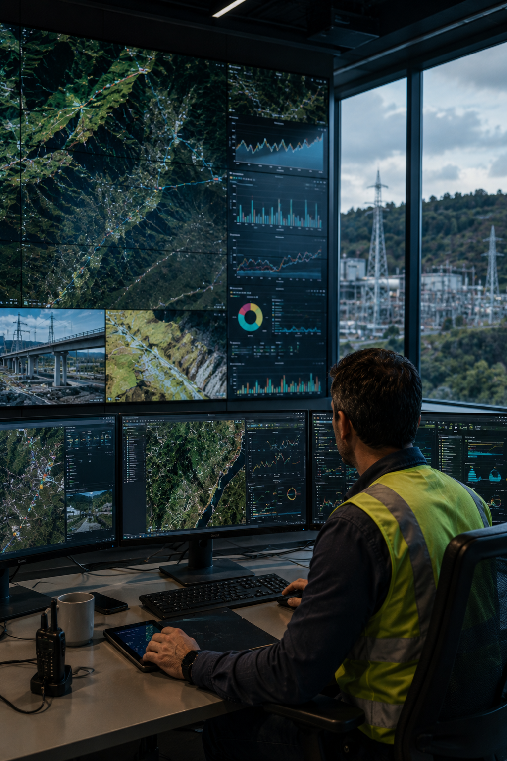
Integrate geospatial intelligence with GIS, digital twins, IoT, and operational platforms for coordinated decisions
NTTデータのサポート体制は?
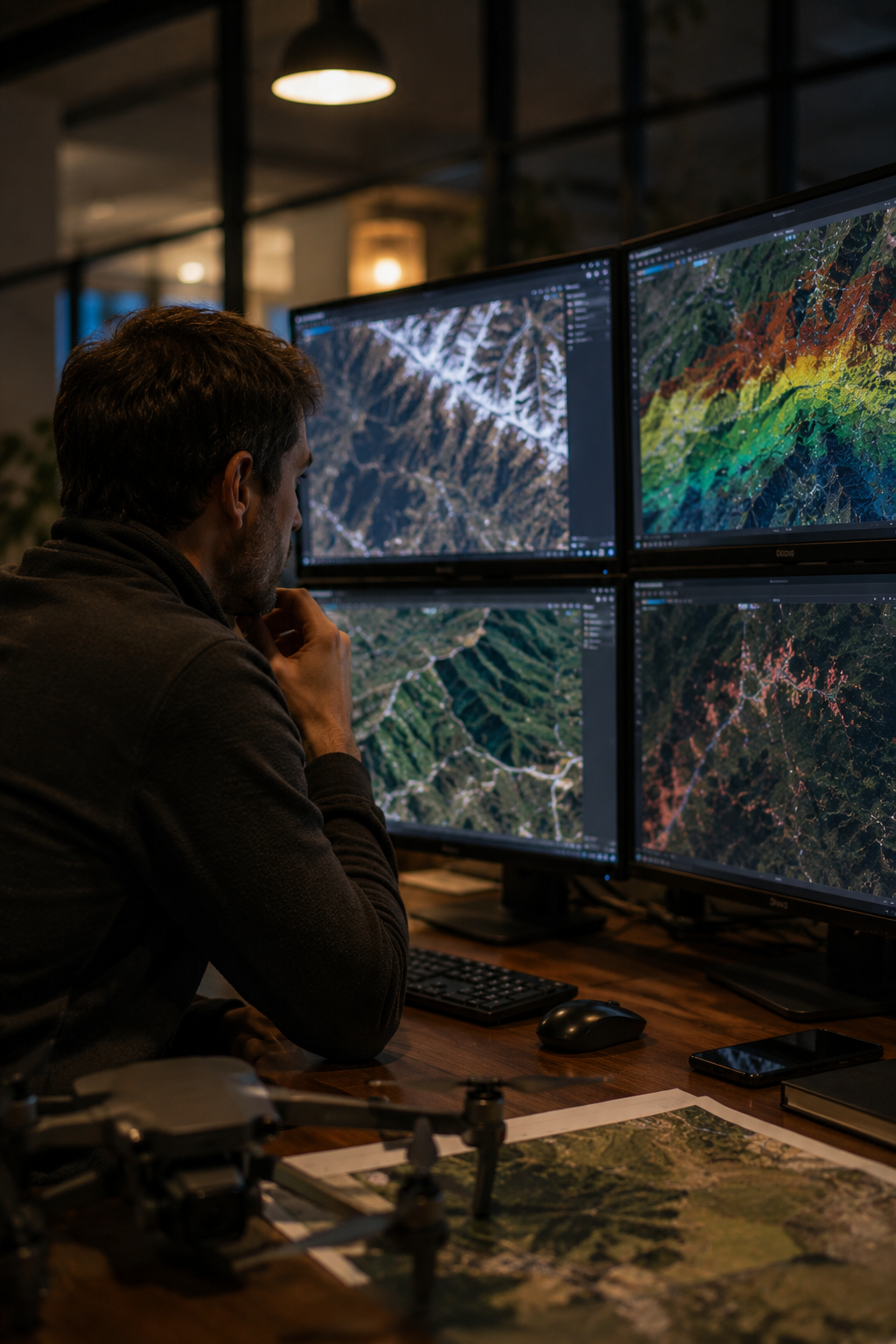
We combine Earth Observation, GIS, AI and terrain analytics to monitor infrastructure environments continuously
Our GIS CoE and AW3D strengthen spatial models from satellites, drones and aerial flights
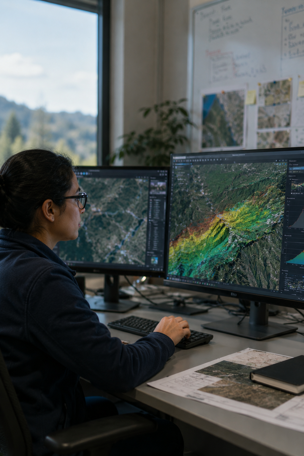
Multi-temporal analytics identify anomalies, risk levels and critical areas before field impact
We integrate geospatial outputs with GIS, digital twins, IoT and operational platforms
We don’t replace inspections with imagery. We guide teams to the areas showing highest risk
Early detection of threats, terrain instability, subsidence, and deformation patterns.
Optimized field operations and reduced dependence on manual surveys
Better understanding of terrain conditions and surrounding environmental factors
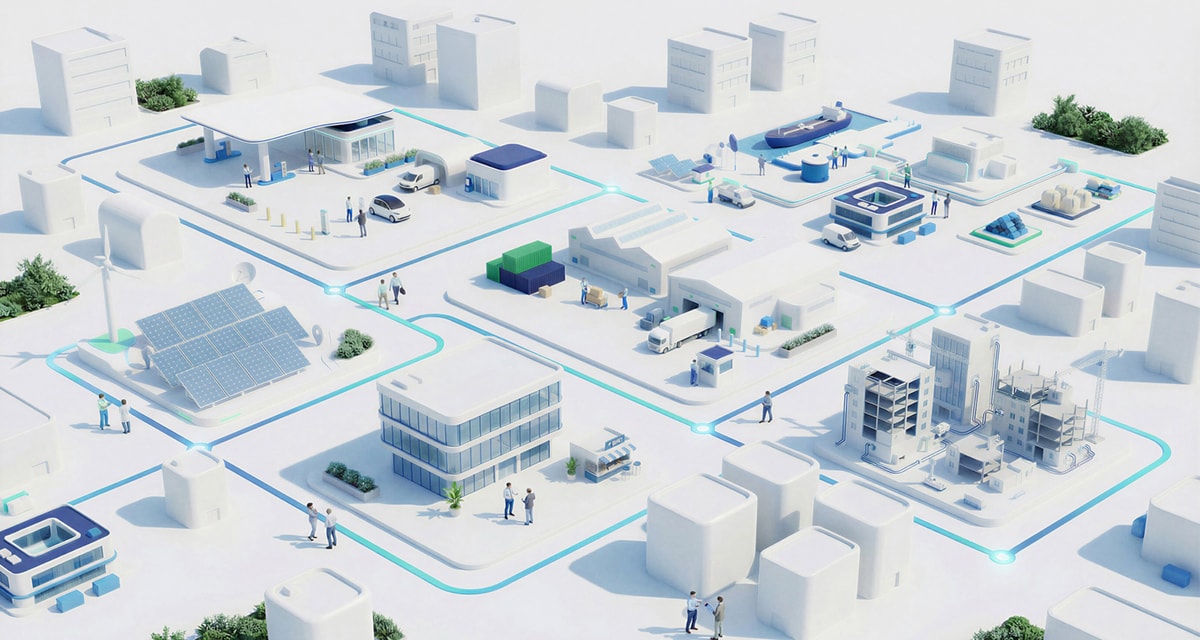
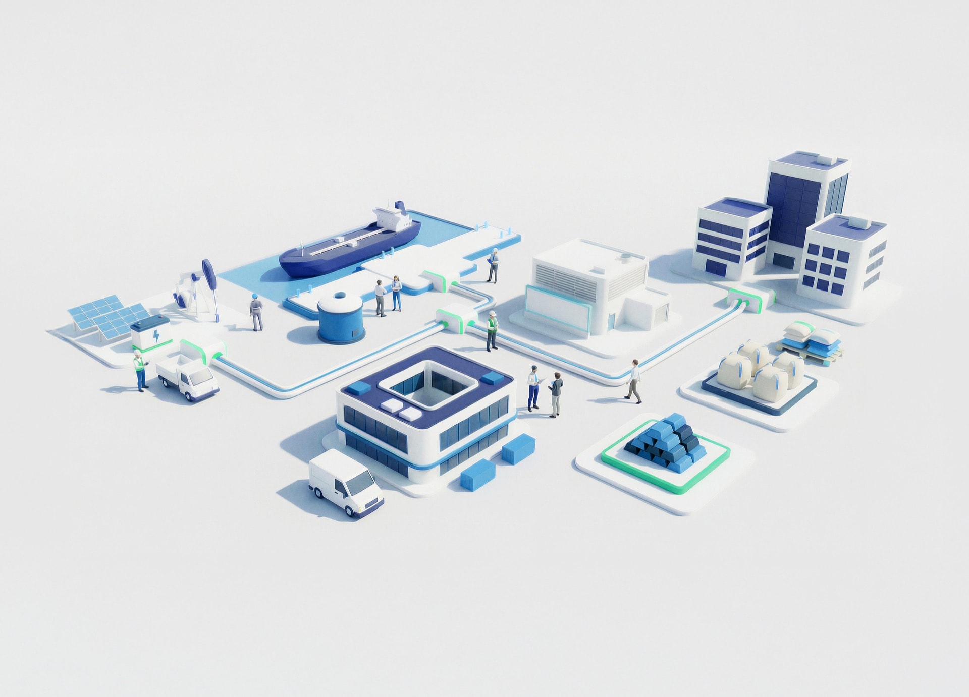
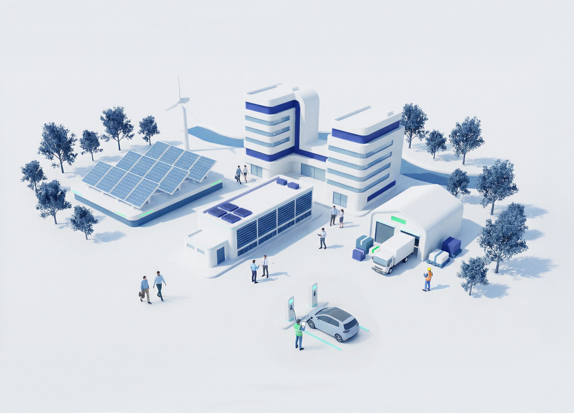
Centralized intelligence across roads, railways, utilities, industrial facilities, renewable energy sites, and construction projects
Transform monitoring into infrastructure intelligence