- Commodity Management & Trading

- Customer & Marketing Strategy

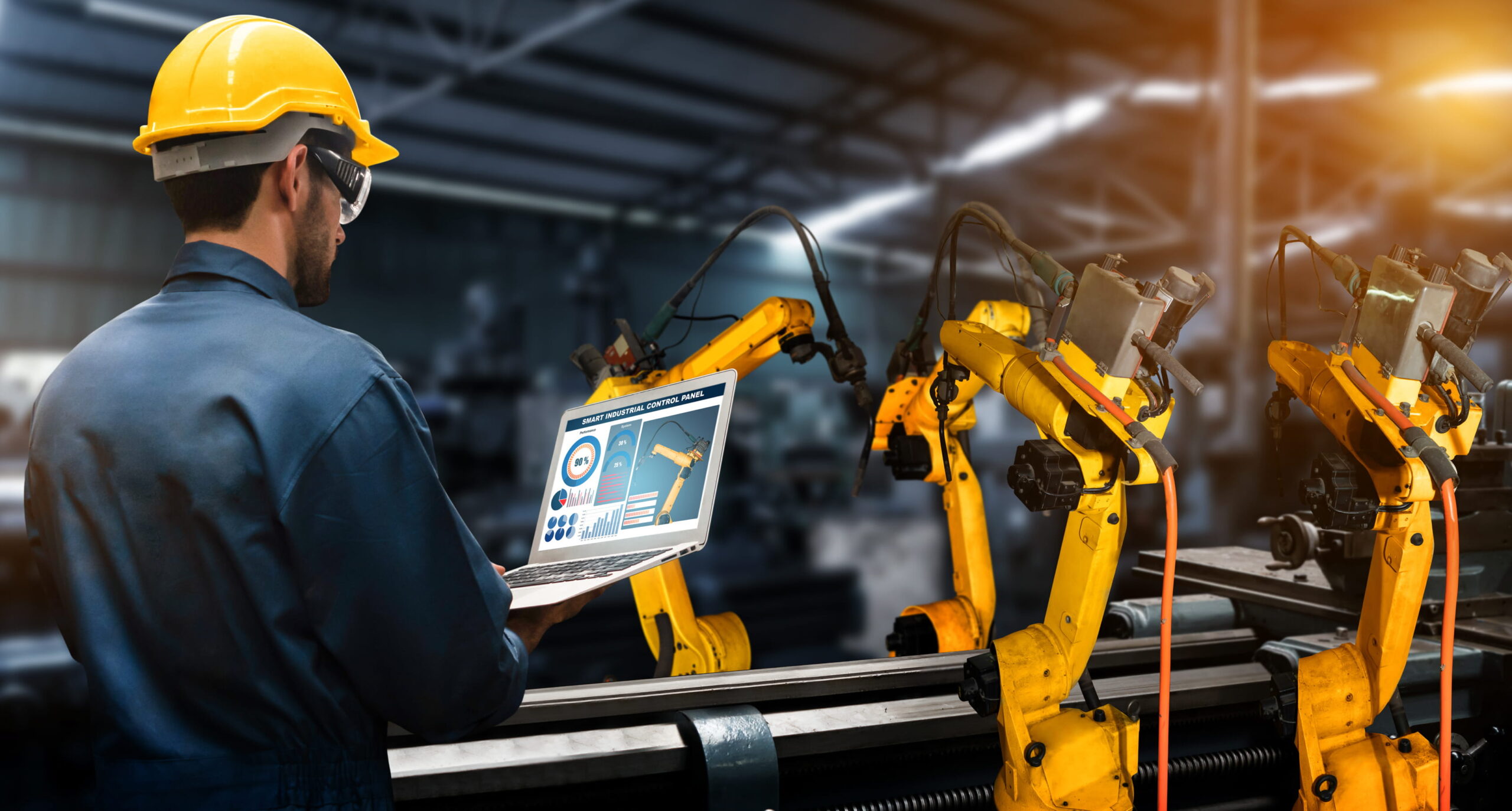
- Digital Engineering

- Station Studio

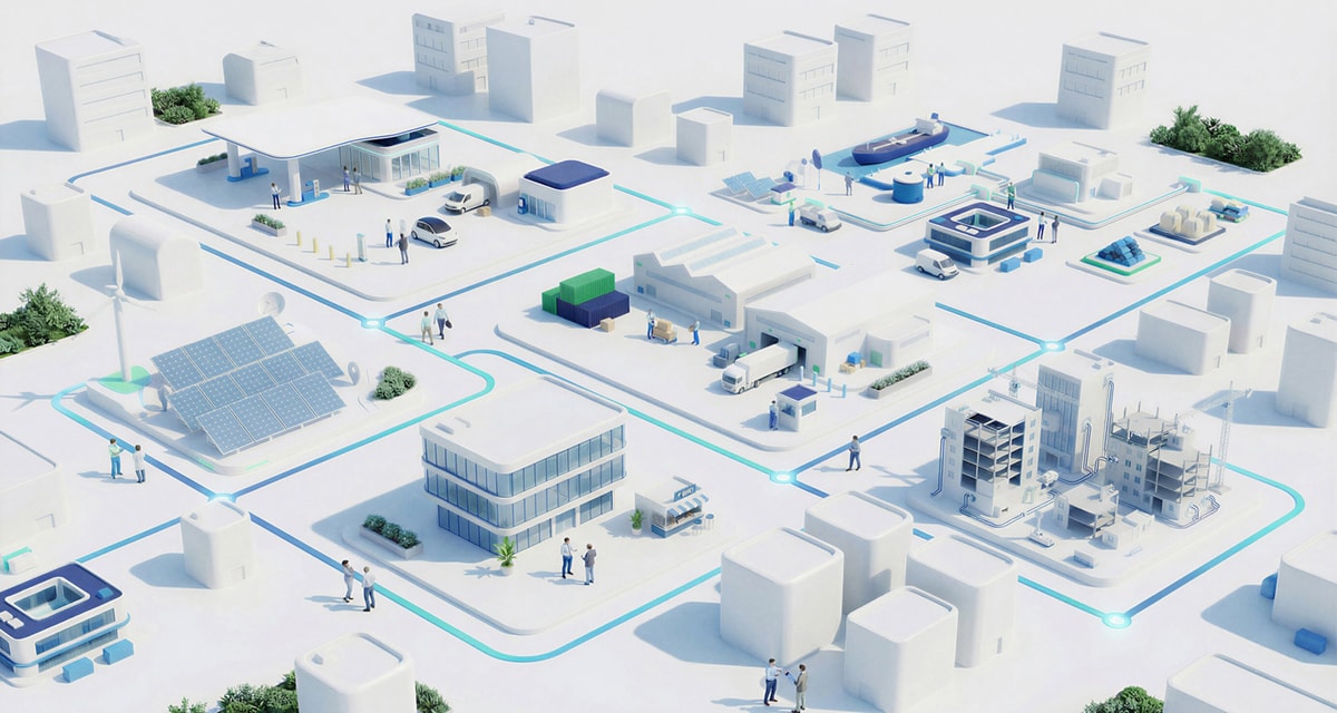
- Supply Chain & Industry 5.0
- Sustainability


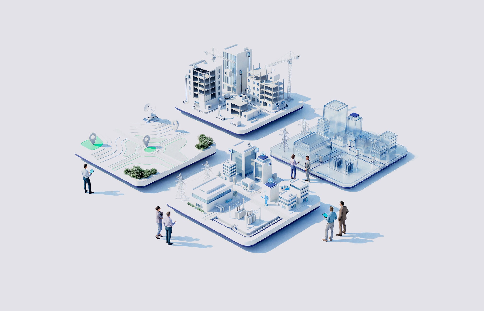


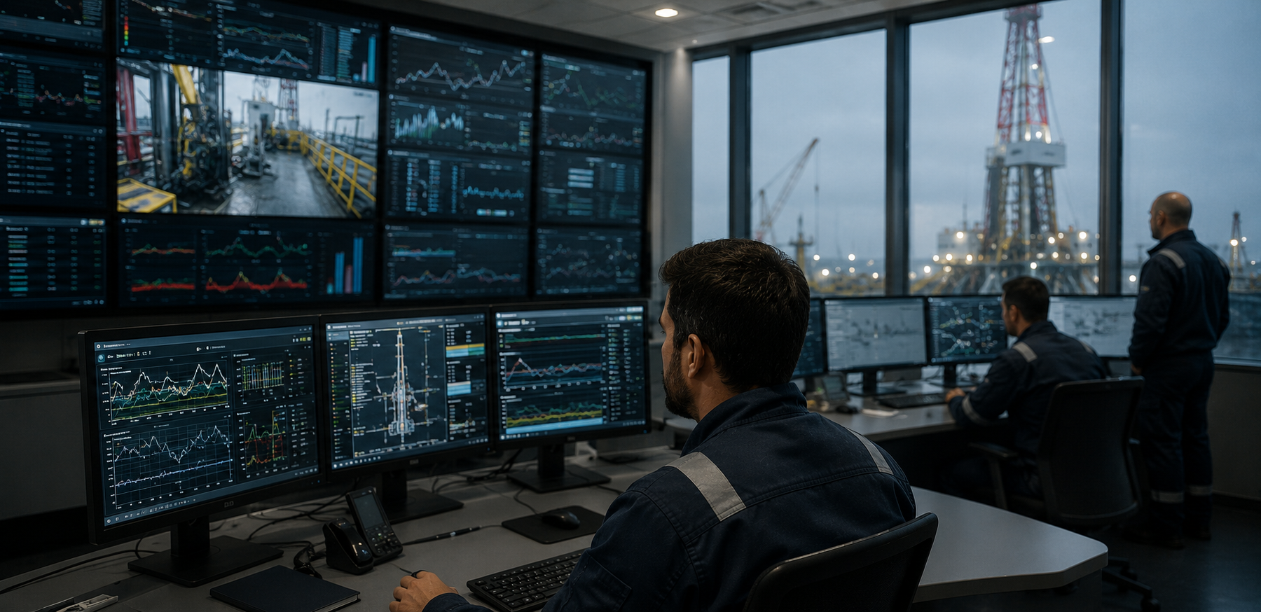
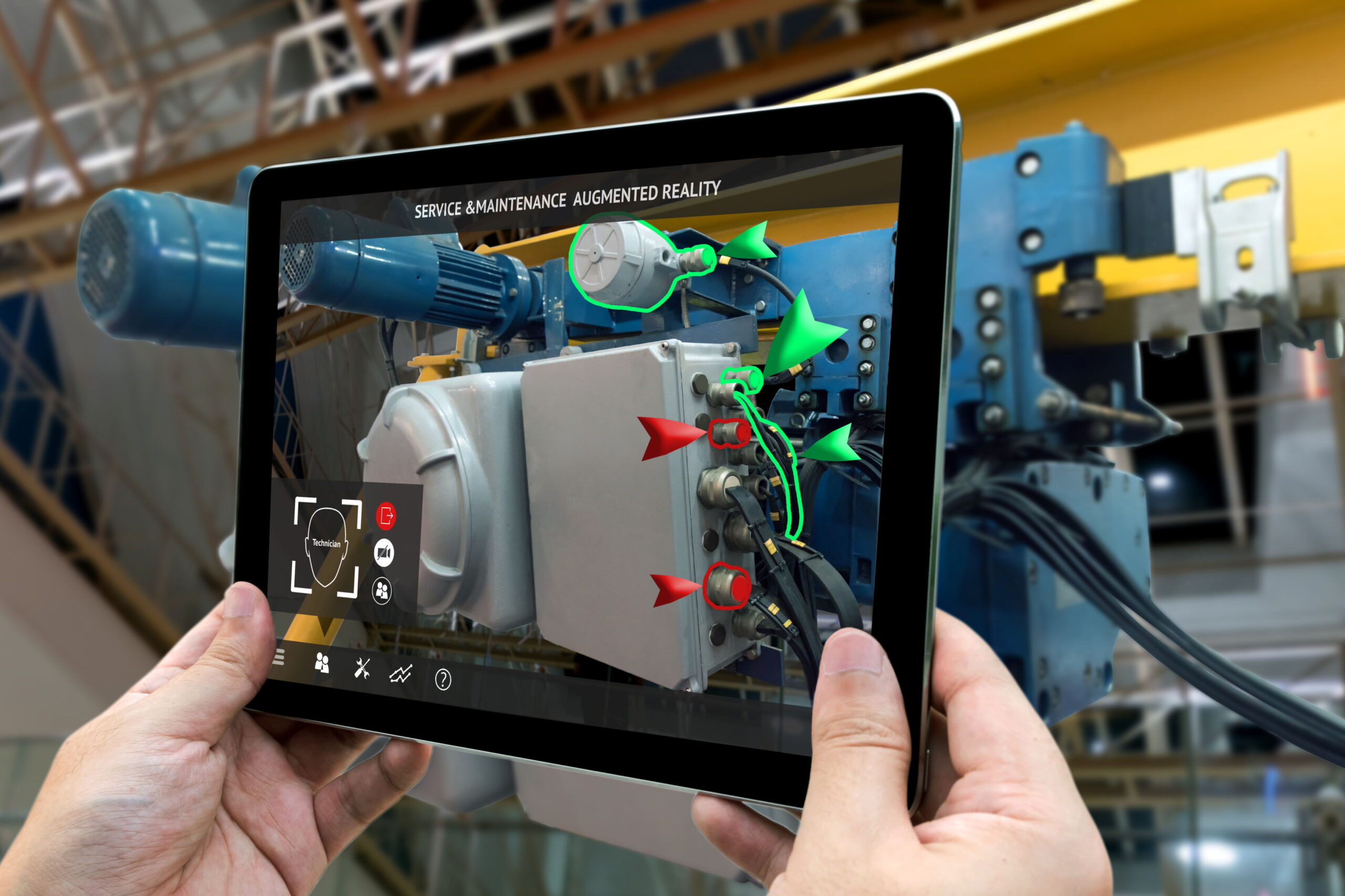
Digital Asset Management for Advanced O&M
Engineering models, operational data, documentation, and real-world conditions are rarely connected, forcing teams to switch between tools, rely on outdated information, or physically visit assets to validate decisions
Context, accessibility, and operational efficiency
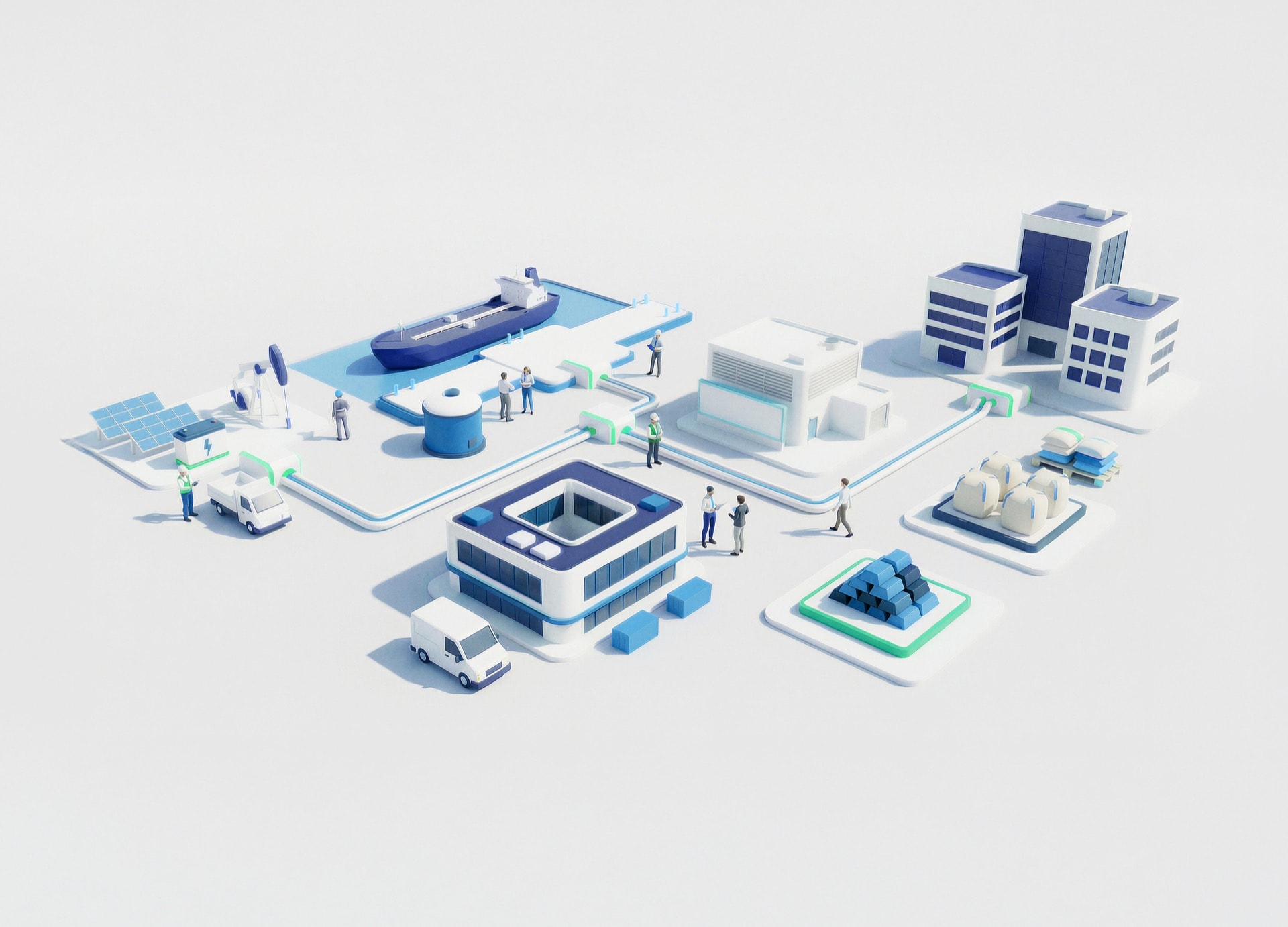
Consolidate BIM models, GIS data, and operational systems into a unified environment
Access technical, spatial, and operational information in a single view
Enable remote analysis and planning through realistic 3D environments and asset visualization
Align engineering, operations, and maintenance through shared, consistent information
How NTT DATA helps
Define standards, data models, and integration frameworks across systems

Connect 3D models, geospatial data, and photogrammetry into a unified platform

Enable intuitive navigation and contextual access to asset information
Ensure consistency, ownership, and long-term sustainability of the ecosystem

From pilot use cases to full deployment across industrial complexes


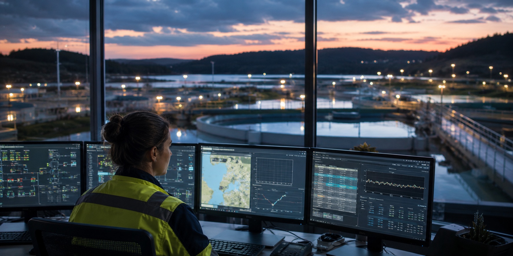
Centralized platforms reduce time spent searching across systems
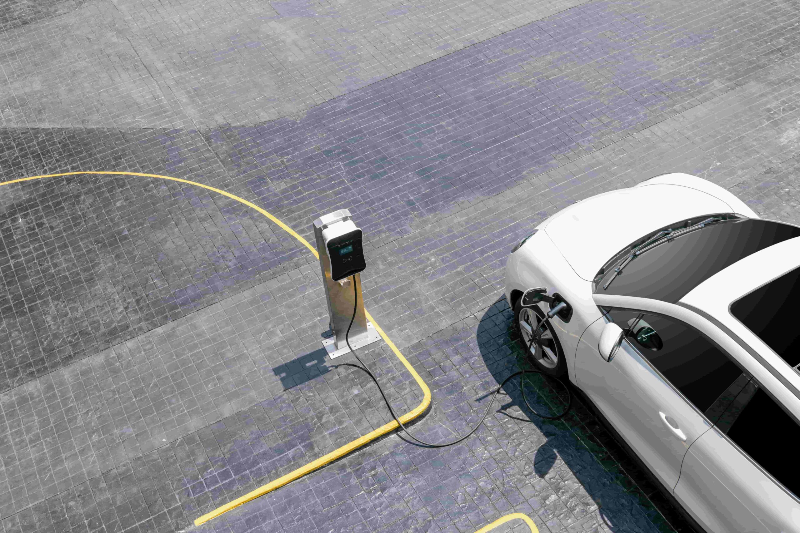
Remote visualization minimizes the need for on-site visits
Shared environments reduce misalignment and rework
Integrated data enables future capabilities such as predictive maintenance and simulation
Enable integrated and efficient asset management