


- Commodity Management & Trading

- Customer & Marketing Strategy

- Digital Engineering

- Station Studio

- Supply Chain & Industry 5.0
- Sustainability


Commodity Management & Trading
Transforming trading ecosystems through data-driven insights and secure, agile platforms that empower global commerce.

Customer & Marketing Strategy
Reimagining customer engagement with personalized, connected experiences that build trust and long-term value.

Digital Engineering
Turning ideas into scalable digital solutions—accelerating transformation through design, technology, and engineering excellence.

Station Studio
Redefining mobility hubs with digital innovation to create smarter, sustainable experiences for people and businesses on the move.
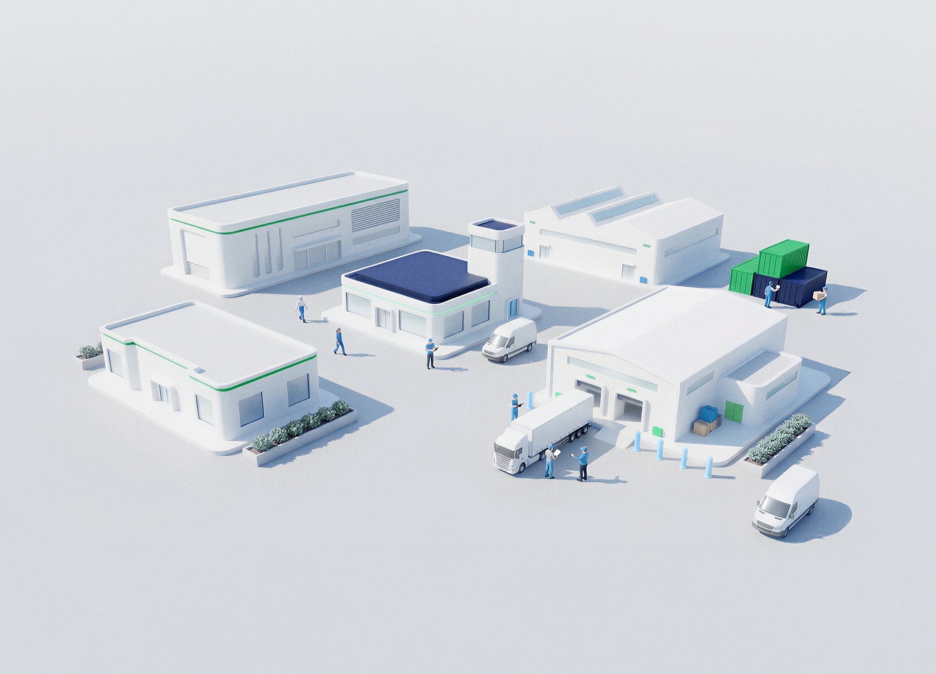
Supply Chain & Industry 5.0
Building resilient, intelligent supply networks that anticipate change and deliver efficiency with purpose.

Sustainability
Driving responsible innovation to help organizations achieve net-zero goals and create a positive impact for future generations.


BUSINESS TALK
Integrating Location Data into Digital Engineering Ecosystems
Connecting GIS with BIM, Digital Twins and enterprise platforms.
Schedule a meeting
Listen podcast
-15
+15
0:00
/0:00
Siloed systems limit the value of location-based data.
WHY GIS INTEGRATION?
Integration enables a holistic view of assets and operations.
Key benefits
Data consistency
System interoperability
Improved collaboration
How NTT DATA helps
01
We integrate GIS with engineering and business systems.


Proven impact
Clients improve efficiency and data reliability.
Results that matter
Connected ecosystems
.
Better decision-making
Scalable solutions
Talk GIS integration