Digital Vegetation Management for Power Networks
Vegetation maintenance became a connected operating workflow, linking inspections, geospatial network data, work orders and economic controls at scale.
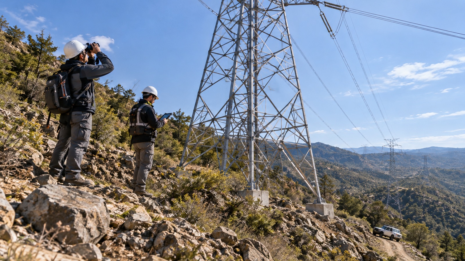
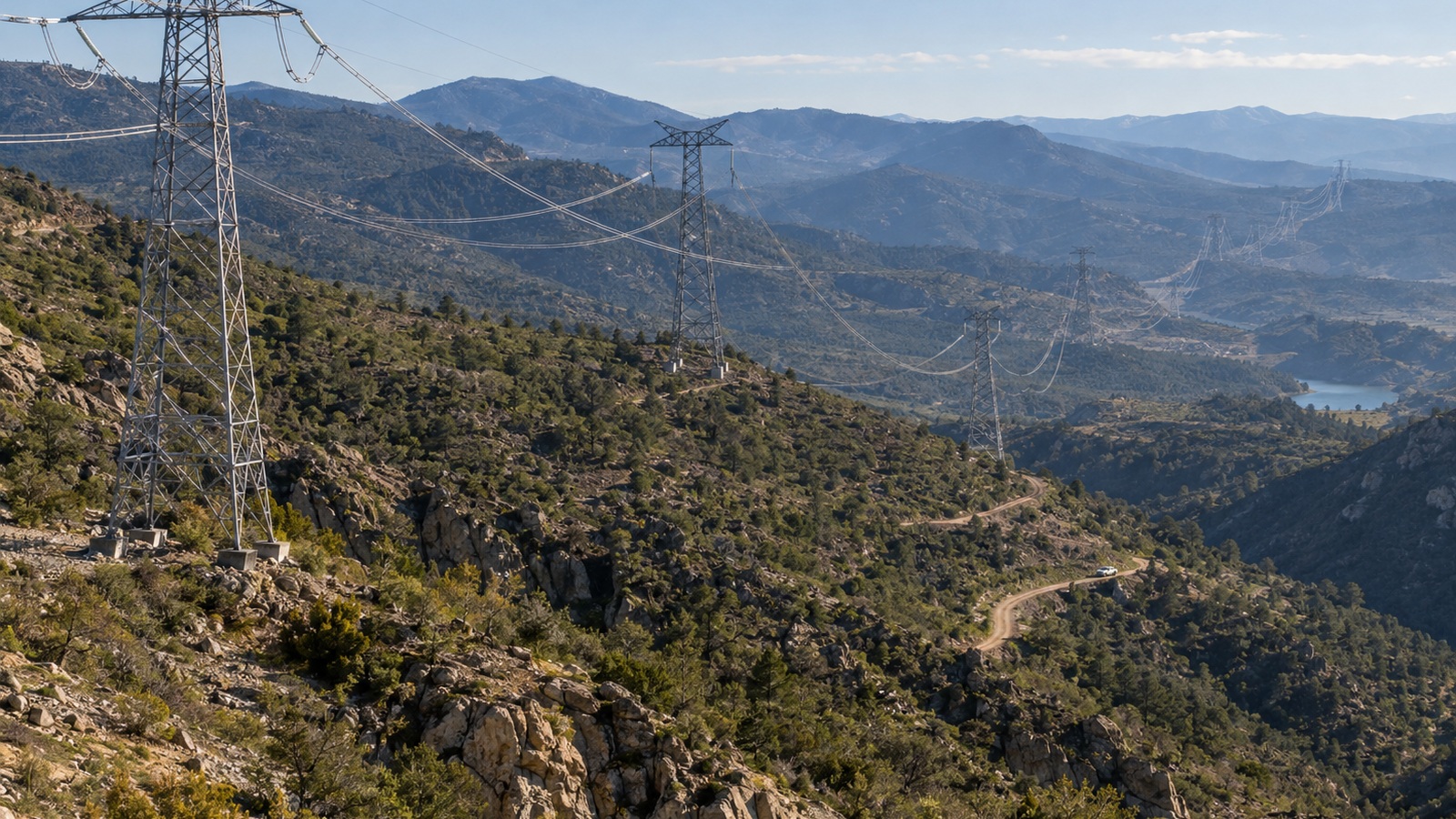
High-voltage transmission towers cross a mountainous, vegetation-rich utility corridor, showing the geographic scale of power-network vegetation management.
High-voltage network
Approx. 700 km
Medium-voltage network
Approx. 1,300 km
Annual actions
Approx. 16,000
Managed sections
Approx. 400
Two utility engineers inspect a transmission tower in mountainous terrain, using binoculars and a tablet beside the power-line corridor.
Connecting Vegetation Maintenance to the Network

A digital workflow brings field inspections, network sections, work orders and economic controls into one traceable maintenance process.

End-to-End Traceability for Vegetation Maintenance
Objectives
Establish end-to-end traceability across vegetation-maintenance activity, connecting inspections, planned actions, field execution and contractor/economic controls to the electrical network model. The operational ambition was to move maintenance from fragmented, reactive activity toward a more risk-, condition- and data-informed model.
Opportunity
Extend the documented approach across distribution and transmission vegetation management, reinforcing a digital foundation for later LiDAR and algorithmic vegetation analysis. Over time, this supports more consistent use of asset condition, criticality, failure signals and work requirements when directing scarce field and maintenance resources.
Managing Vegetation as One Network Process

The challenge was to coordinate geographically distributed maintenance activity while keeping field evidence, network context and business controls connected.
Key Challenges
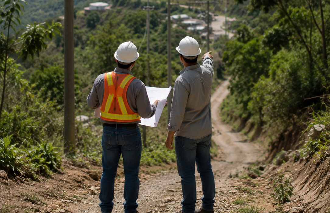
Two utility workers review a field map beside a rural distribution corridor, with power lines extending across a large vegetated valley.
Coordinate inspections, network sections, planned actions, execution and contractor/economic controls across a large geographic area.
Utility engineers compare a network map and field test data beside electrical infrastructure, illustrating the need to connect inspection evidence with maintenance records.
Reconnect fragmented field and back-office processes so vegetation work stays aligned with the electrical network model.
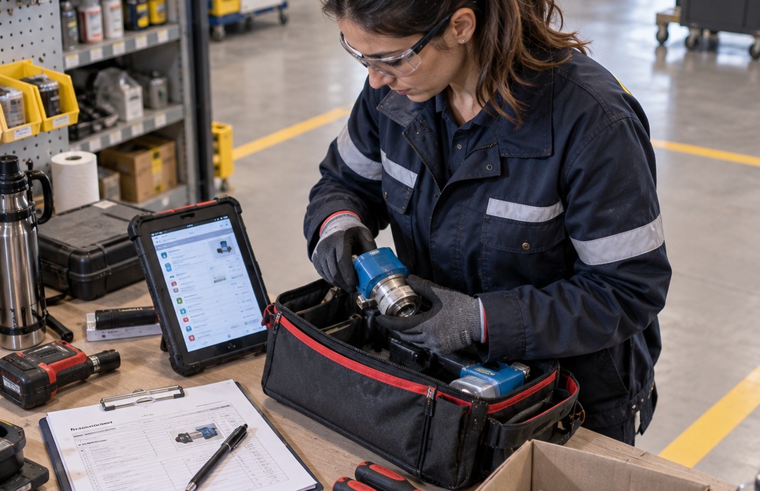
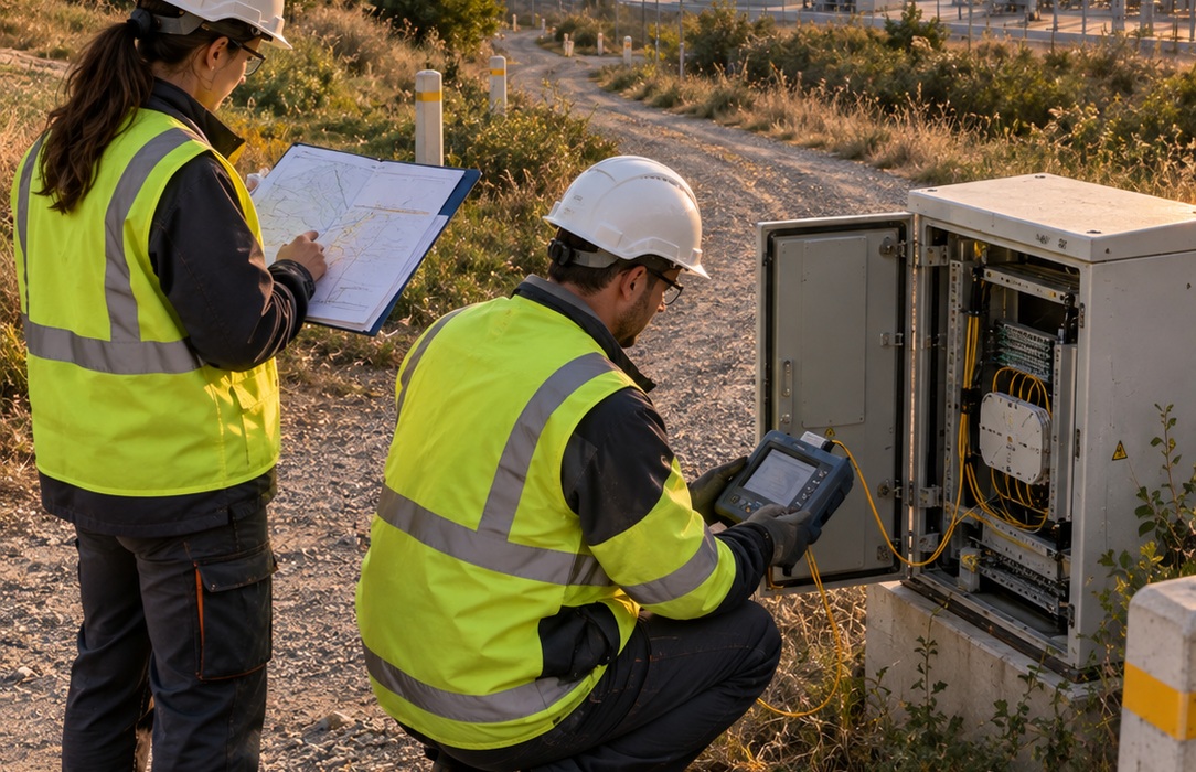
A utility maintenance technician works with a tablet, service document and equipment at a maintenance depot, reflecting information spread across tools and workflows.
Consolidate asset, condition, maintenance and operational information distributed across systems, formats and organizational teams.
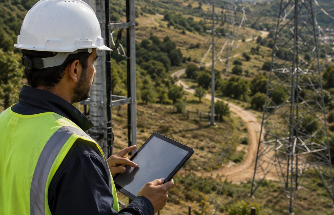
A utility field engineer uses a tablet while overlooking a transmission corridor and surrounding vegetation, supporting risk-based maintenance prioritization.
Prioritize work by risk and operational relevance while preserving traceability from underlying evidence to maintenance decisions.
Solution
A Traceable Digital Workflow from Inspection to Execution

The delivery connected data, planning and field processes so vegetation activity could move through one operational chain from inspection to documented intervention.

check icon
Digitized Maintenance Planning

Inspection and trimming/pruning maintenance planning were digitized across the vegetation-management workflow.

check icon
GIS-Connected Work Orders

Actions and work orders were linked with geospatial network information and field mobility.

check icon
Controlled Maintenance Records

Documentary and economic controls, including payment-rate management, were incorporated into the workflow.

check icon
Priority-to-Action Workflow

Asset and operational data supported prioritization, while a single maintenance view connected findings to planning and field execution.

Impact
Traceability from Inspection to Field Execution

The capability created an integrated maintenance view with end-to-end traceability, better integration between field work and the electrical network model, and more consistent georeferencing and documentation of interventions. It also established a digital foundation for future LiDAR and algorithmic vegetation analysis.

Drag