






GISによる資産・ネットワーク管理の強化
They stretch across cities, corridors, facilities, and territories — exposed to weather, demand, aging infrastructure, and constant operational pressure. When asset data lives in static drawings, disconnected systems, or isolated field reports, teams lose the spatial context needed to see risk early, coordinate action, and keep networks performing
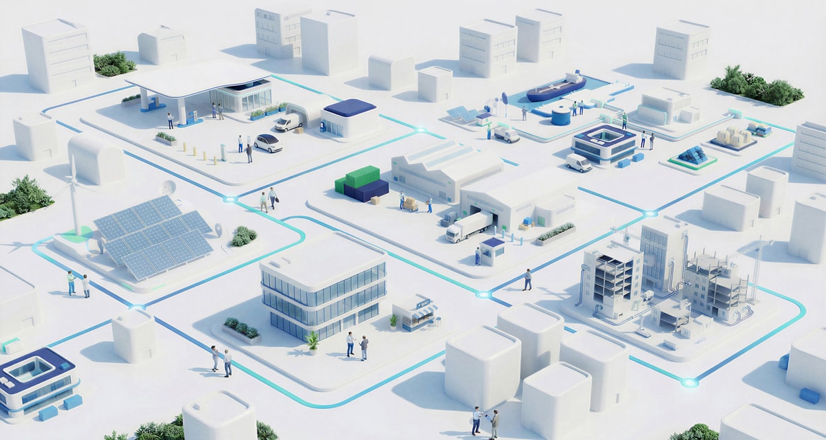
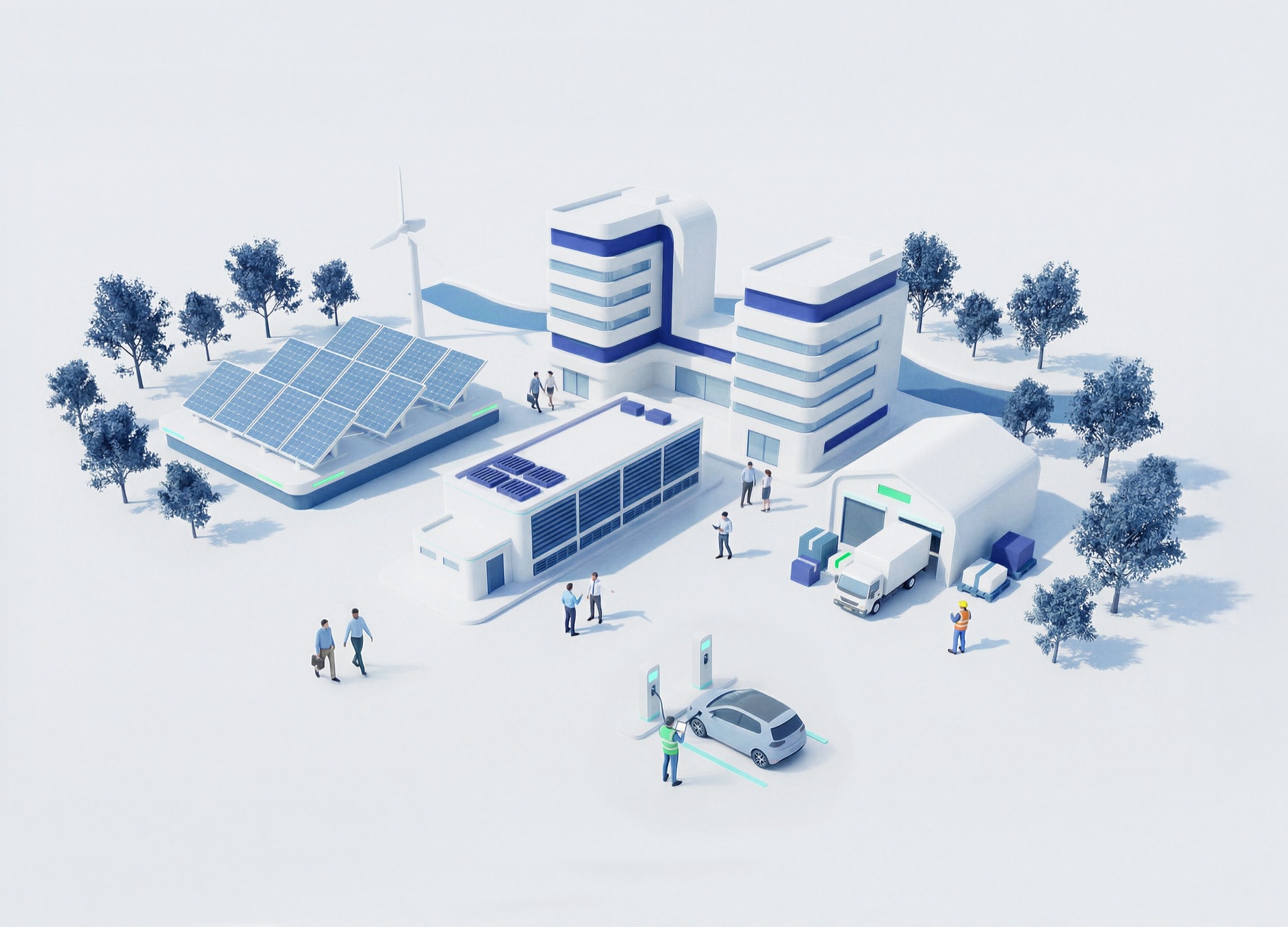
Every cable, pipe, valve, tower, facility, and service area has a location, a condition, and a relationship to the network around it. GIS turns that geography into operational intelligence by connecting maps with BIM models, IoT/sensor data, SCADA alerts, digital twins, and simulations — helping teams monitor assets in real time, prioritize maintenance, and plan more resilient infrastructure.
The shift is clear: from scattered asset records to connected infrastructure intelligence that supports better decisions across planning, operations, and maintenance
GIS gives every asset a place, a context, and a relationship to everything around it — so decisions can move with more evidence and less assumption.

Combine geospatial views with IoT and sensor data to monitor assets and networks in real time
Process spatial data to reveal patterns, optimize resources, and support operational planning across territories
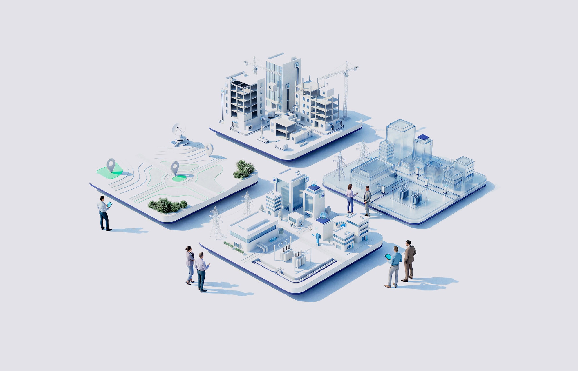
Integrate BIM and GIS to connect asset detail with environmental context across the lifecycle
Use simulations and collected data to support predictive maintenance, not only preventive or reactive models
NTTデータのサポート体制は?
We connect maps, asset data, and operational systems so teams can work from a shared, spatially accurate infrastructure view

We combine BIM and GIS to add spatial precision, environmental context, and lifecycle continuity to planning and analysis

We integrate IoT/sensors, SCADA, alerts, and visualization tools so operating conditions become visible as they change

We use asset data, simulations, and intelligent maintenance models to support informed decisions and reduce unplanned downtime

We don’t deliver a map and call it transformation. We build configurable platforms, including Salesforce-based asset management capabilities, that evolve with the operating model
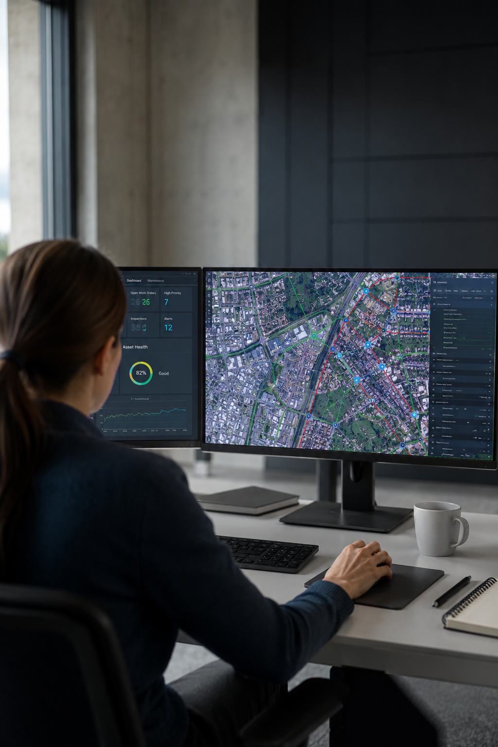

The source material does not provide quantified KPIs, so the outcomes are framed as qualitative operational shifts
unified geospatial views bring network, territory, and asset information into one operational picture
live asset data and simulations help teams plan interventions before disruption escalates
BIM-GIS integration adds spatial precision and environmental context across the asset lifecycle
SCADA, IoT, alerts, and visualization connect field conditions to decision-making workflows
Start the conversation that drives resilient asset networks →
