







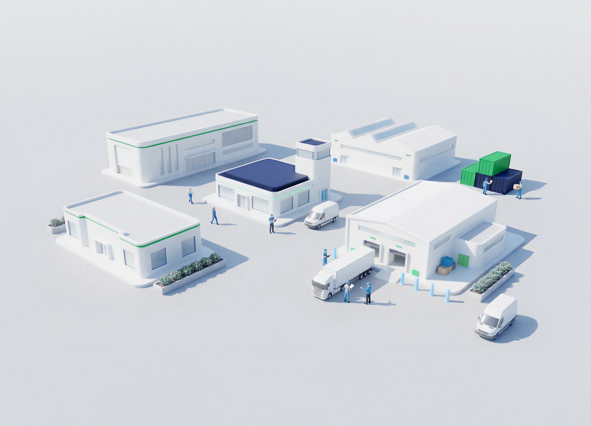




空間インテリジェンスを活用したスマートなインフラを実現
Infrastructure decisions are made across places: streets, corridors, sites, cities, logistics routes, environmental zones, and critical assets that rarely fit into a single system view. When spatial information is separated from engineering models, business systems, IoT signals, and operational workflows, leaders see the map but miss the operating reality. The result is slower planning, reactive risk management, and infrastructure strategies built without the full context of the territory
GIS gives geography an operating role by linking spatial data with BIM, digital twins, real-time monitoring, sensors, SCADA, simulations, and sustainability analysis. It helps organizations understand not only where assets and risks are, but how they relate to the environment, the network, and the decisions that shape performance. The shift is clear: from disconnected spatial records to infrastructure intelligence that supports planning, resilience, and operational efficiency
Spatial intelligence connects where assets are, what surrounds them, and how conditions change — giving teams a better basis for planning, monitoring, and response

Integrate geospatial, environmental, and operational data to reveal patterns that static reports miss
Combine BIM and GIS to add environmental context and spatial precision across the infrastructure lifecycle
Model urban and environmental risks such as floods, fires, or contamination to design more resilient territories
Connect smart maps with IoT, sensors, and digital twins to monitor infrastructure in real time
NTTデータのサポート体制は?
We combine spatial information from multiple sources into analytical platforms that support faster, more informed decisions

We integrate design, asset, and environmental context to support better planning and analysis across the project lifecycle

We connect maps with IoT, sensors, SCADA, alerts, visualization, and digital twin platforms to make operational conditions visible

We apply GIS to simulate flood, fire, contamination, and urban or environmental risk scenarios for more resilient infrastructure
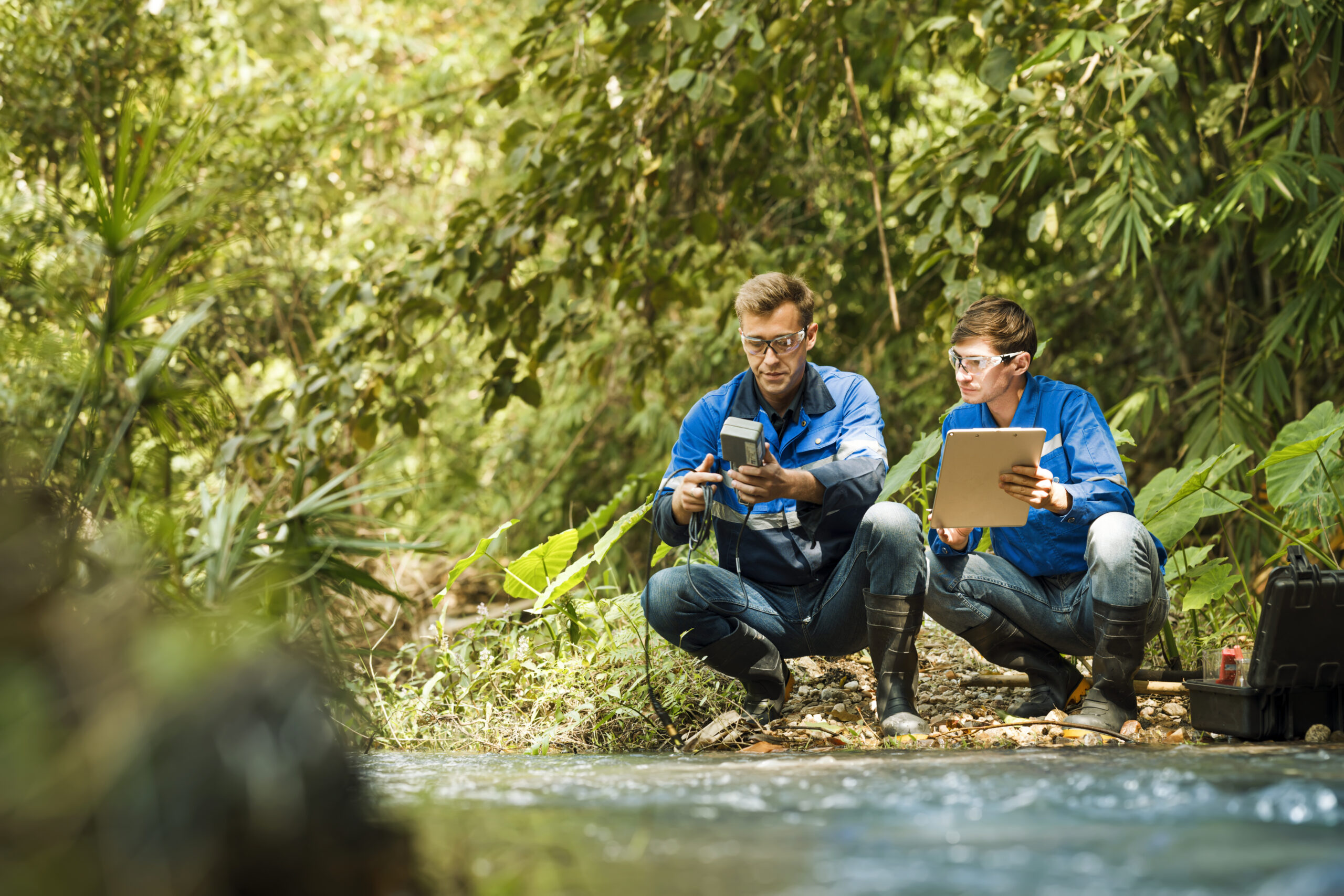
We don’t build isolated maps. We connect spatial intelligence to workflows, data governance, and the systems teams already use


The source material does not provide quantified KPIs, so the outcomes are framed as qualitative operational shifts
Spatial, environmental, and operational data converge into one decision-ready view
BIM-GIS integration adds context and precision before design or investment decisions lock in
Geospatial analytics reveal patterns that help prioritize interventions across cities, networks, and territories
Real-time monitoring and alerting connect field conditions to faster action
Start the conversation that redefines spatial intelligence for infrastructure →
