- All Foundries

- Commodity Management & Trading

- Customer & Marketing Strategy

- Digital Engineering

- Station Studio

- Supply Chain & Industry 5.0
- Sustainability

- Physical AI

- Next-Generation Infrastructure




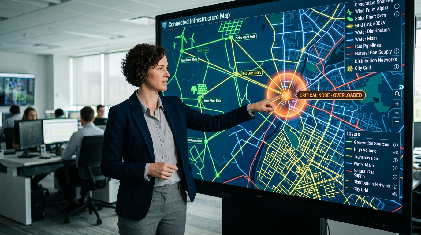
Digital Earth for Utilities
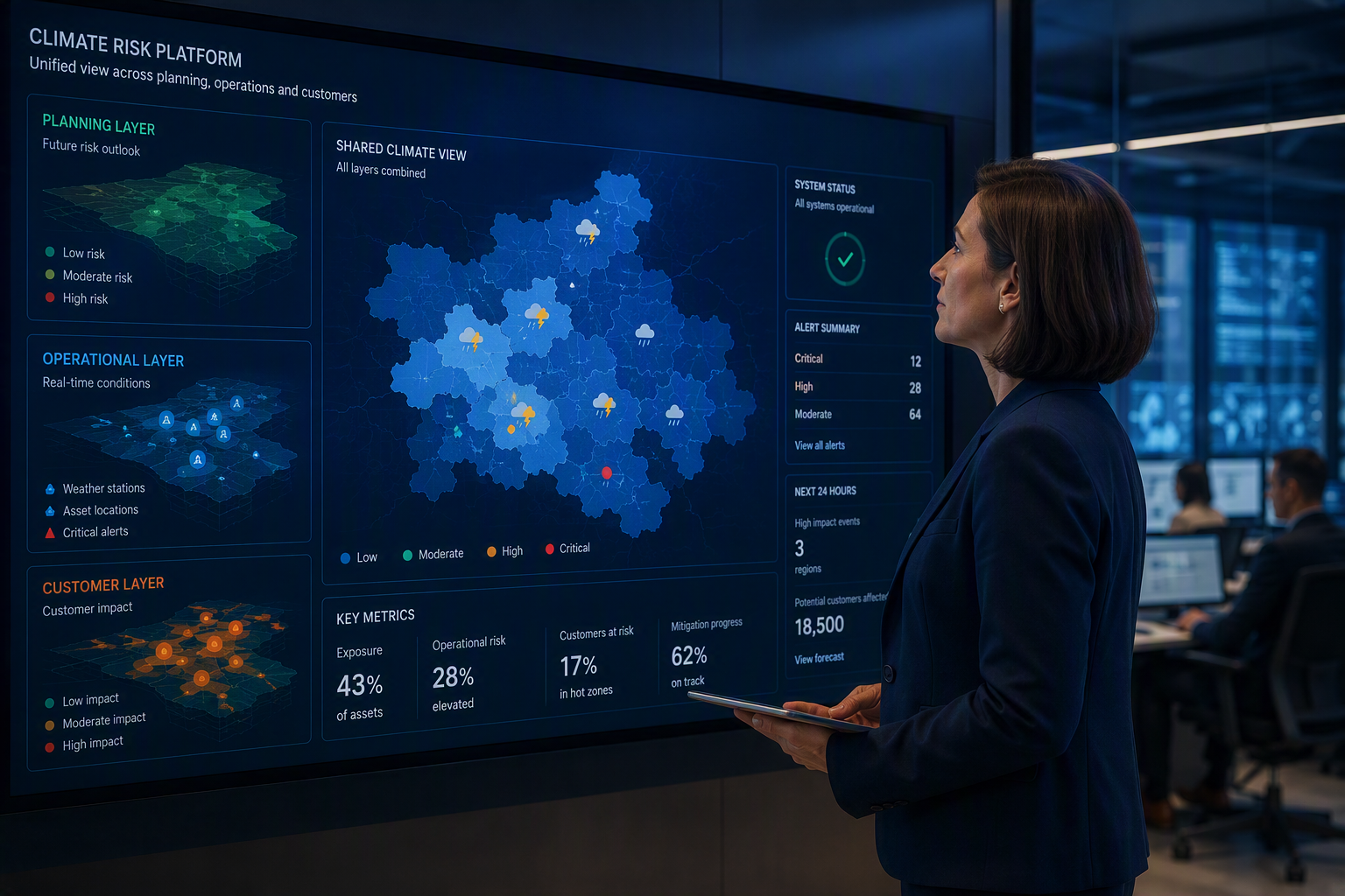
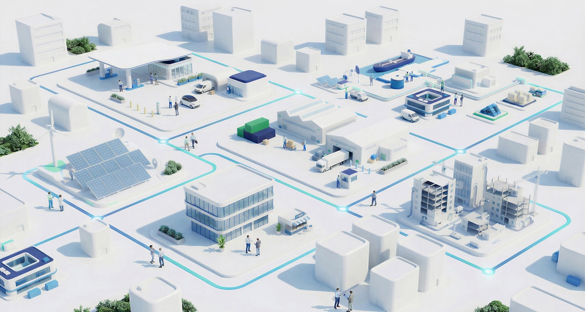
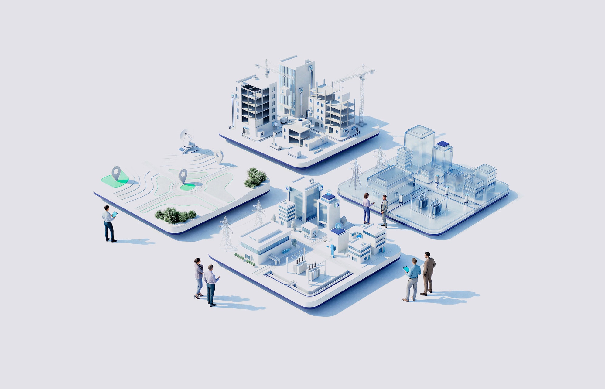
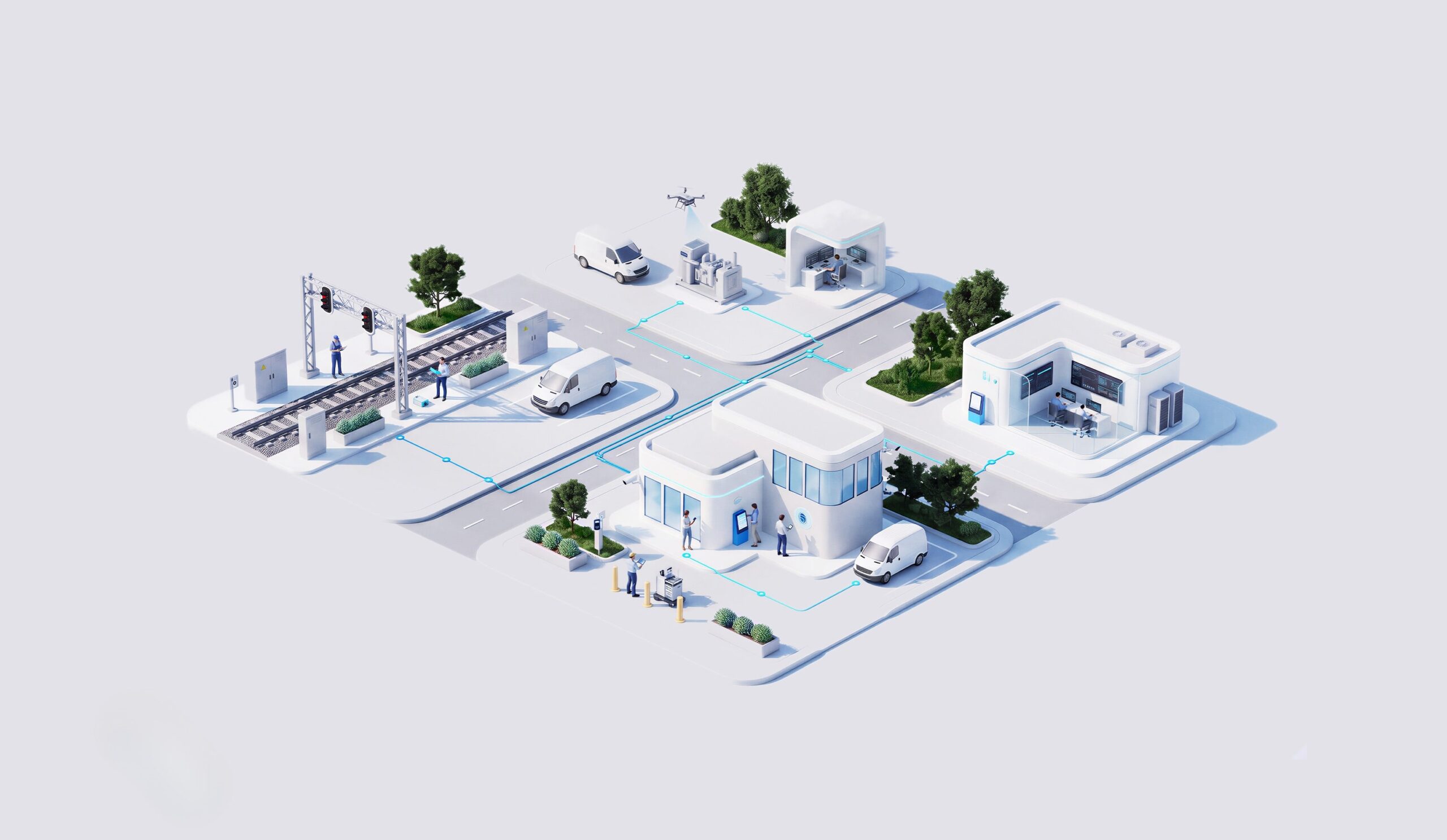
Generation, transmission, distribution, gas and water assets often live in separate systems with no shared location context. Digital earth for utilities brings every asset into one connected geospatial view your teams use every day.
Digital earth for utilities helps every team work from the same geospatial picture of your infrastructure.

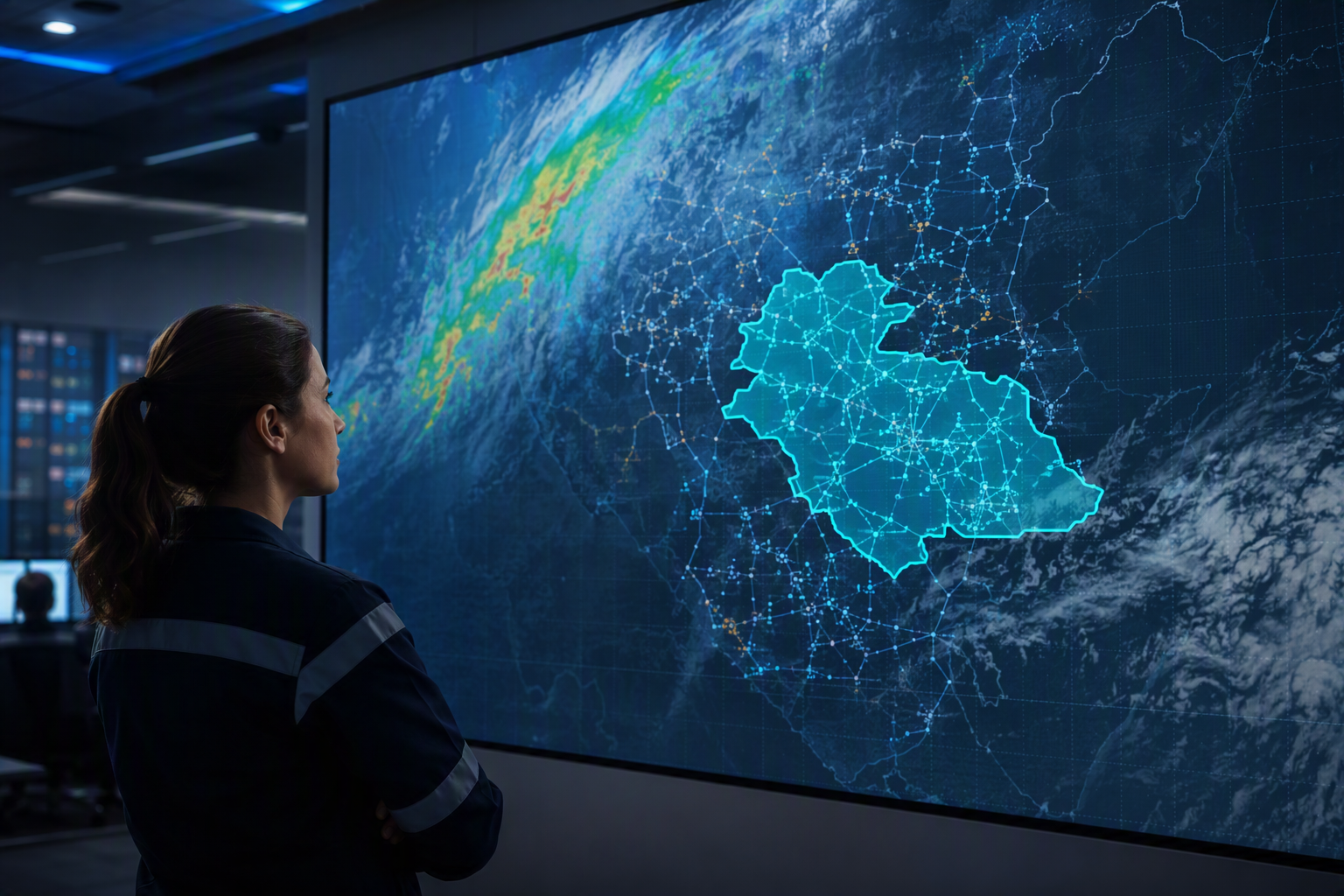
A shared geospatial view across generation, transmission, distribution, gas and water assets cuts the coordination work between teams.
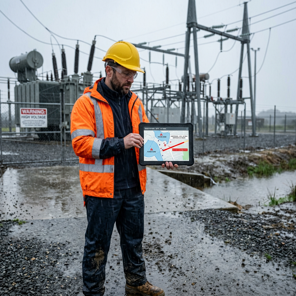
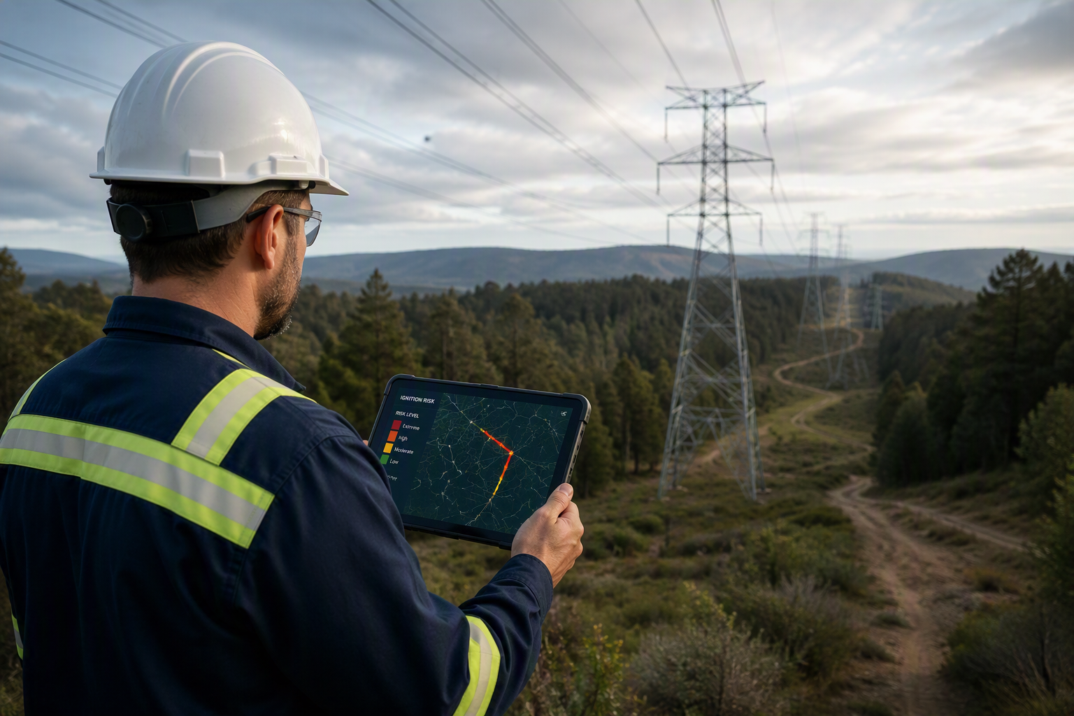
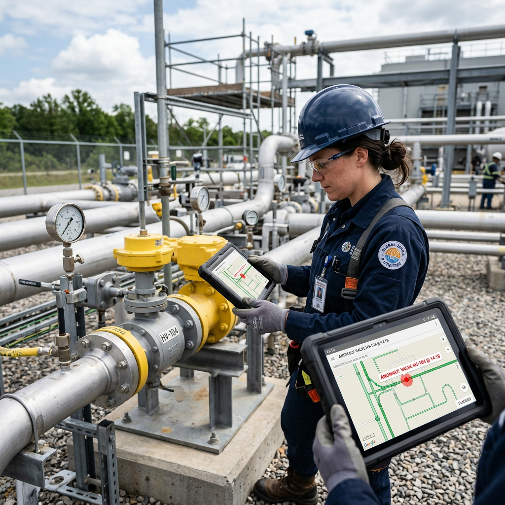
Analytics and IoT sensor data flag anomalies against their precise location, before they affect service.
Cloud and edge computing bring processing closer to the asset, cutting the need for manual inspection between teams.
Better visibility of every asset’s condition and location keeps critical infrastructure available when you need it.
How NTT DATA helps
Connect the data you need: NTT DATA brings together operational, asset and enterprise data platforms your digital earth view depends on.

Analytics, IoT and cloud and edge computing sit where an operational decision happens, from generation to the gas and water network.
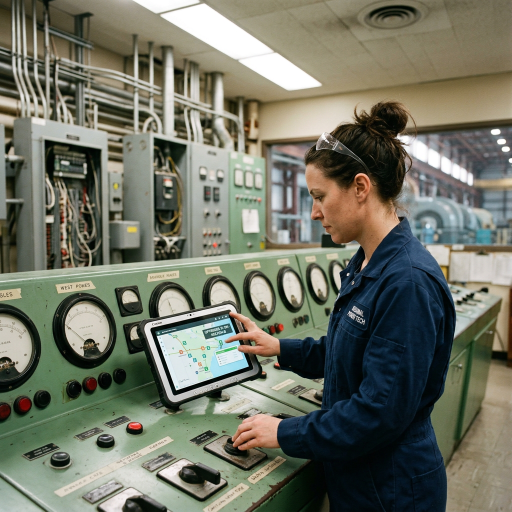
Cybersecurity controls, permissions, validation and fallback mechanisms get defined to match the safety bar your operations require.
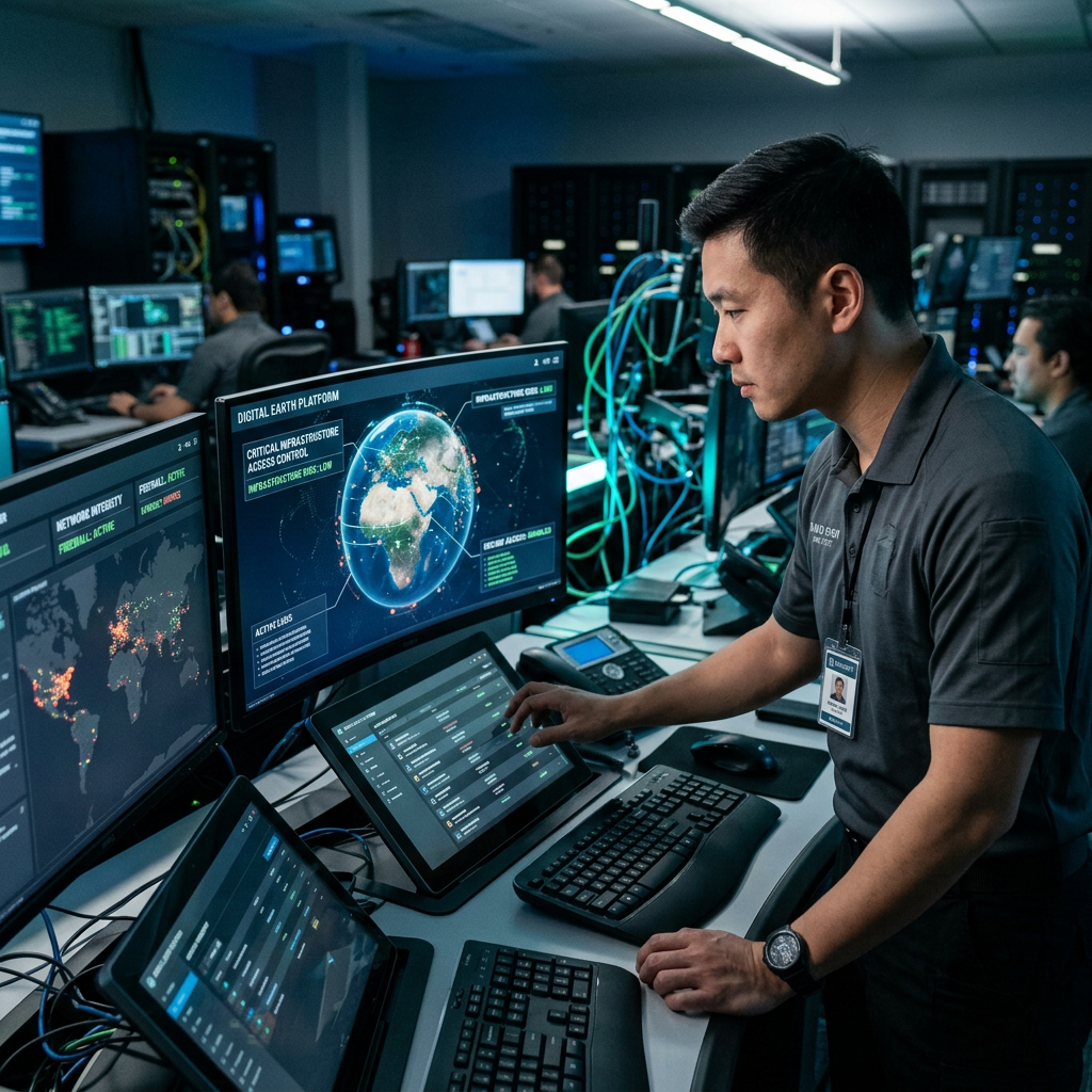
Each new digital earth capability grows from a controlled deployment measured against clear operational KPIs, so scale-up follows evidence, not guesswork.
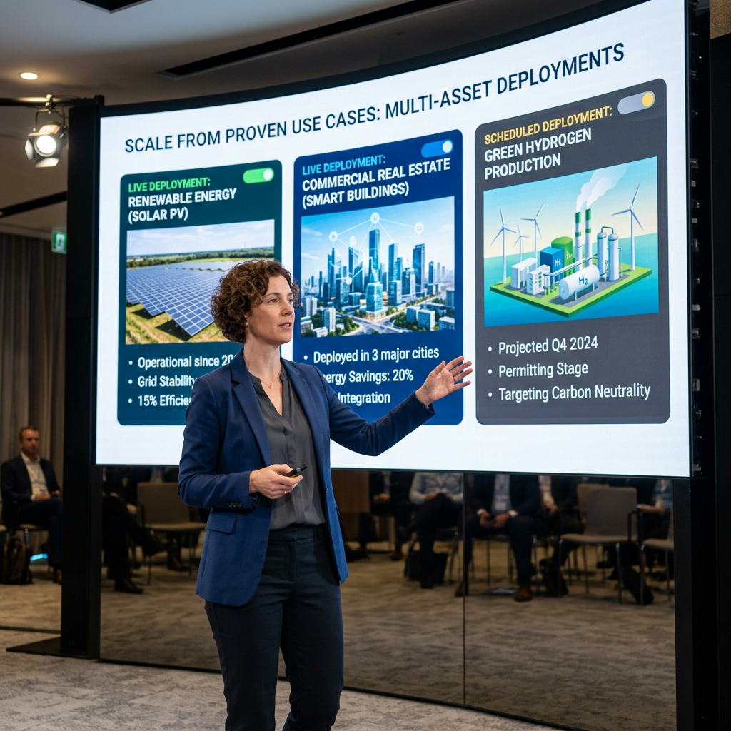
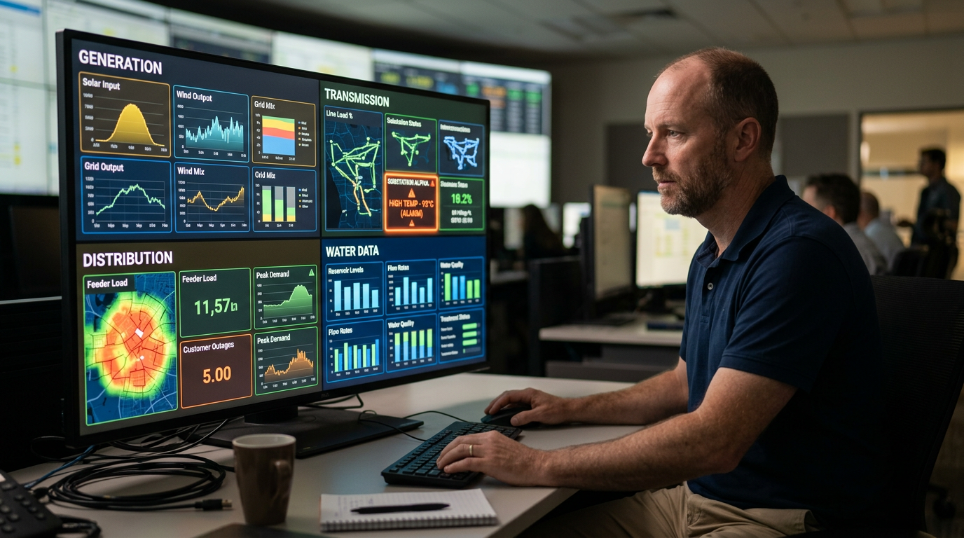
Digital earth for utilities connects generation, transmission, distribution and water data with the decisions your teams make on site.
Objectives depend on baseline performance, infrastructure and deployment scope across generation, transmission, distribution, gas and water operations.
20% to 40% reduction in operational cycle time, reflecting quicker execution across connected asset decisions.
20% to 40% reduction in manual workload, reflecting less reliance on manual inspection and coordination across asset classes.
15% to 30% reduction in decision and response time, reflecting faster movement from geospatial data to a business decision.
Significant improvement in operational visibility across every connected asset.
Shape the conversation that brings every utility asset into one geospatial view.