- All Foundries

- Commodity Management & Trading

- Customer & Marketing Strategy

- Digital Engineering

- Station Studio

- Supply Chain & Industry 5.0
- Sustainability

- Physical AI

- Next-Gen Infrastructure


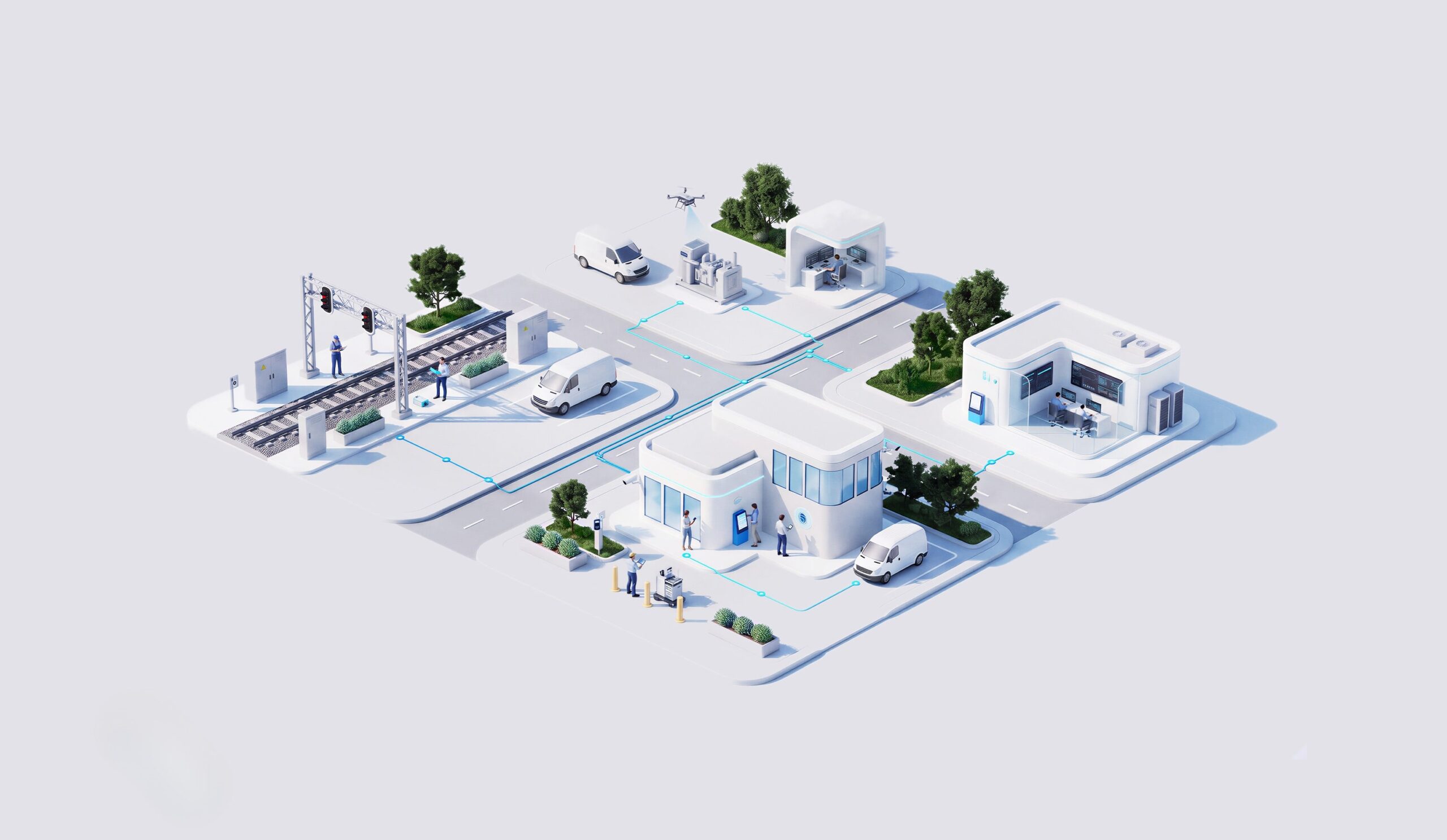

Multi-UAV system for autonomous inspection
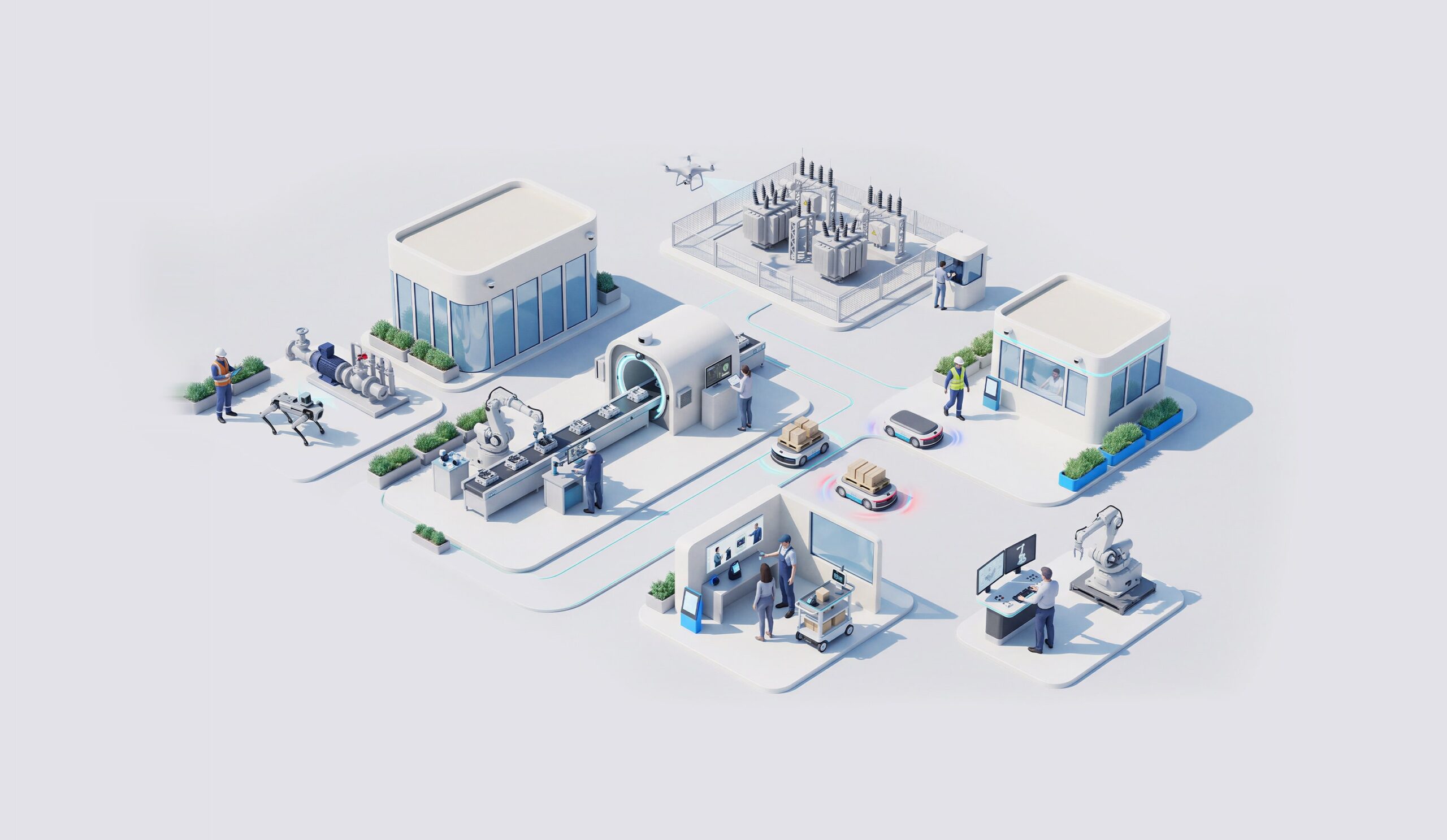
A fixed camera watches one point. Critical infrastructure spreads across wide areas where weather, light and threats keep changing, and patrols on foot or by car cover only part of the ground.
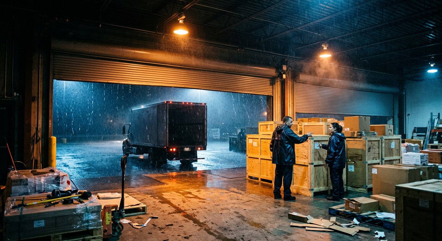

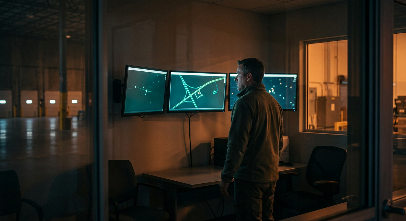
NTT DATA designed a fleet of drones which optimize their flight paths with reinforcement learning (RL), combined with weather-resilient computer vision. The system runs on Python, ROS and Docker.

A learning engine and a control interface manage the drones as one system, each running a programmable protocol stack.
The RL model adjusts each route to make the mission more effective, starting with complete area coverage during patrols.
The same optimization protects the links between drones so they operate in coordination, with the fleet ready for next-generation networks such as IOWN.
Inspection algorithms analyze visual data accurately in rain, fog or changing light.
Security teams see threats as the drones detect them, with an assessment attached. RL-driven flight optimization and weather-resistant computer vision give operators a robust, adaptable option for autonomous inspection and surveillance. Every image and inspection record stays under the infrastructure operator’s control.
success stories