- Commodity Management & Trading

- Customer & Marketing Strategy

- Digital Engineering

- Station Studio

- Supply Chain & Industry 5.0
- Sustainability


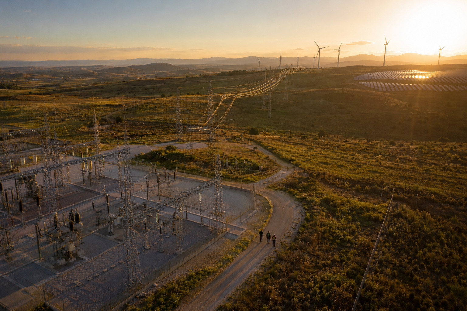
Improving decision-making in site selection
Early-stage decisions lack consistency and forward-looking insights, creating long-term risks in cost, compliance, and operational performance
The impact of early-stage limitations
Disparate inputs limit the ability to compare locations under unified criteria
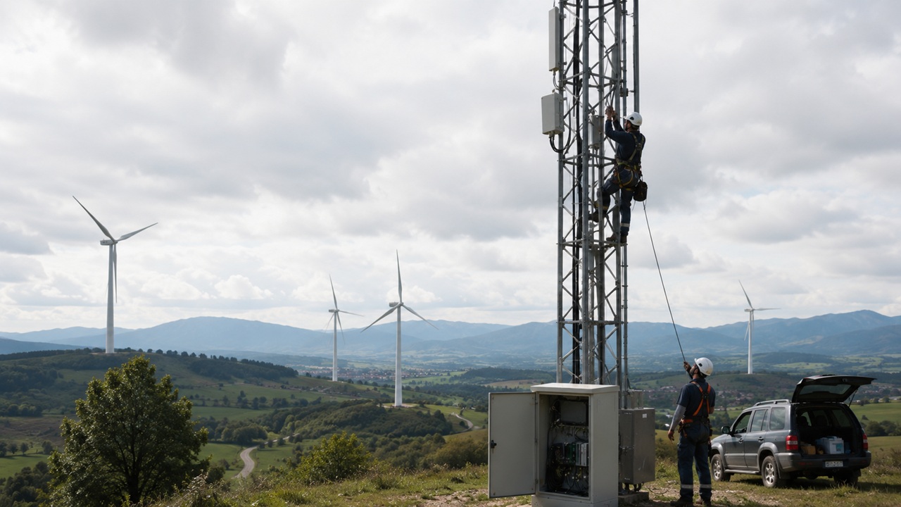
Field visits and manual analysis slow down early-stage decision-making
Decisions based on current conditions ignore historical trends and future risks
Inadequate location choices lead to overruns, delays, and operational constraints
How NTT DATA helps
Combine current and historical imagery to assess land use, terrain, and infrastructure evolution

Assess multiple sites simultaneously using consistent and repeatable criteria

Detect environmental and regulatory constraints before detailed engineering begins

Prioritize high-potential sites and eliminate low-value options before on-site validation

Enhance speed and quality of early-stage decisions through data-driven insights

Faster evaluation enabled by scalable satellite-based assessments
Reduced reliance on manual processes and field visits
Focused investment on high-value opportunities before detailed analysis
Better-informed decisions reduce long-term operational and regulatory risks
Make faster, better-informed decisions