- Commodity Management & Trading

- Customer & Marketing Strategy

- Digital Engineering

- Station Studio

- Supply Chain & Industry 5.0
- Sustainability






Water Management Observatory: turning fragmented water data into better decisions
The challenge isn't a lack of data — it's data scattered across systems, sources and formats
Climate change, extreme weather and rising demand are straining water resources, while critical information stays fragmented across systems. One shared, science-based view is now essential for faster, better-informed decisions

Hydrological, meteorological and water-use data become easier to access, compare and trust
Near real-time monitoring helps detect emerging flood risks while tracking pressure points across water resources, abstractions and discharges
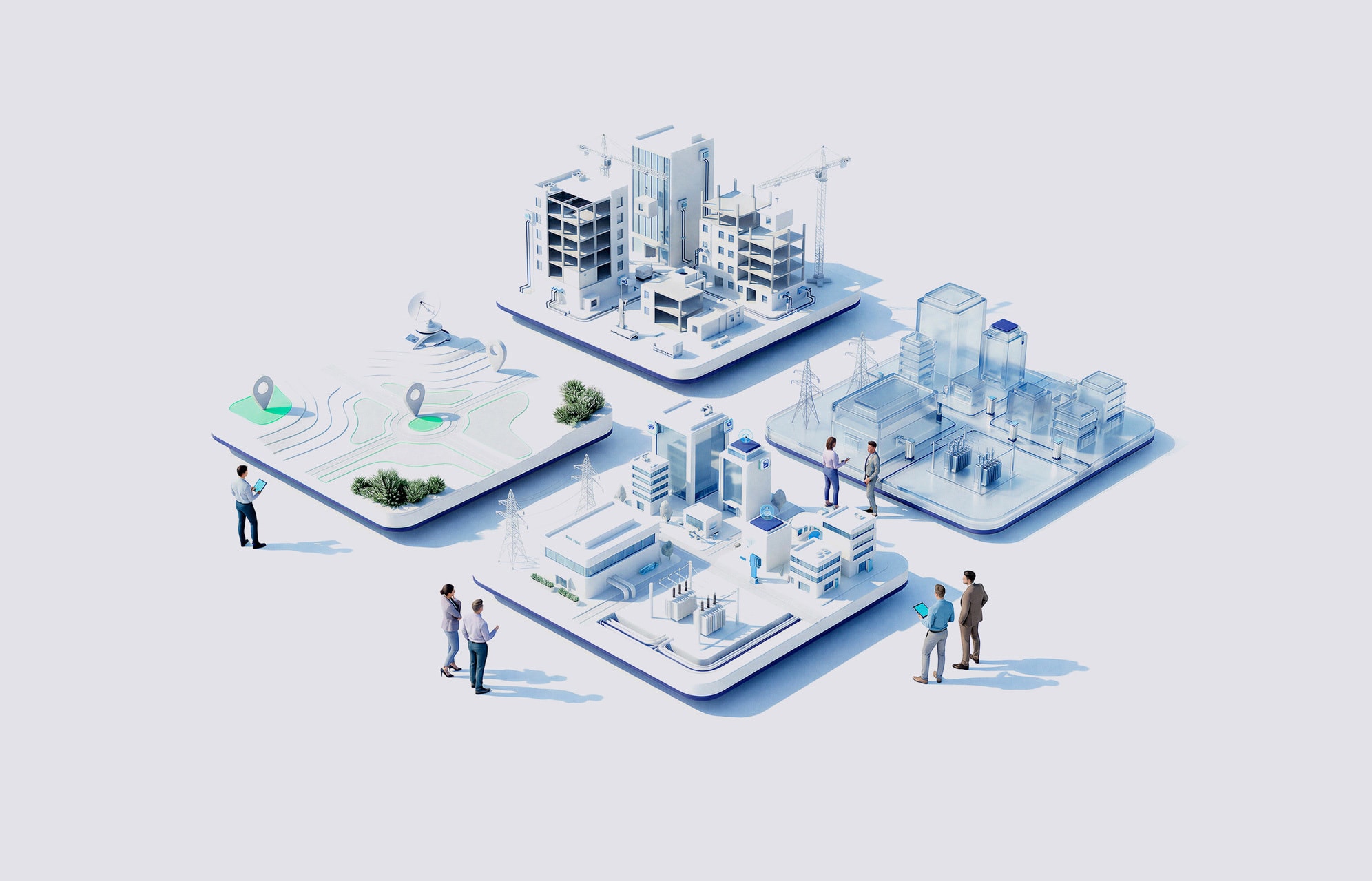
Geospatial dashboards and analytics turn complex information into clearer planning and response decisions
National and European sources add climate, satellite and flood-forecasting intelligence to daily decisions
How NTT DATA helps
Connect dispersed water data into a single digital environment for authorities and water teams
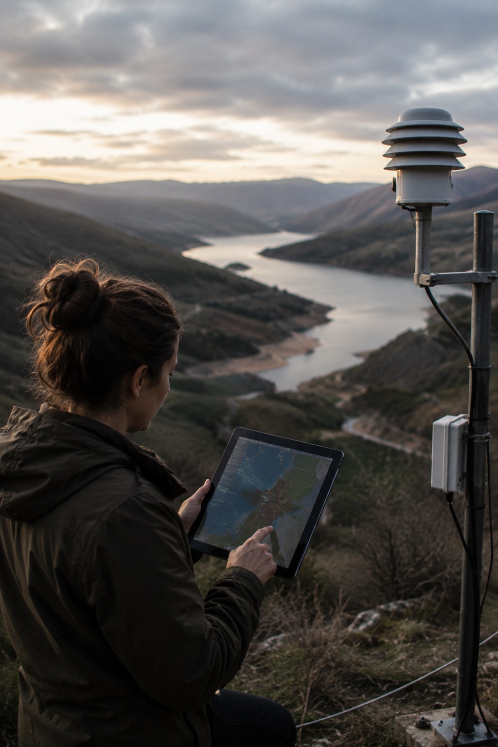
Bring together information from basin authorities, meteorology services and satellite observation
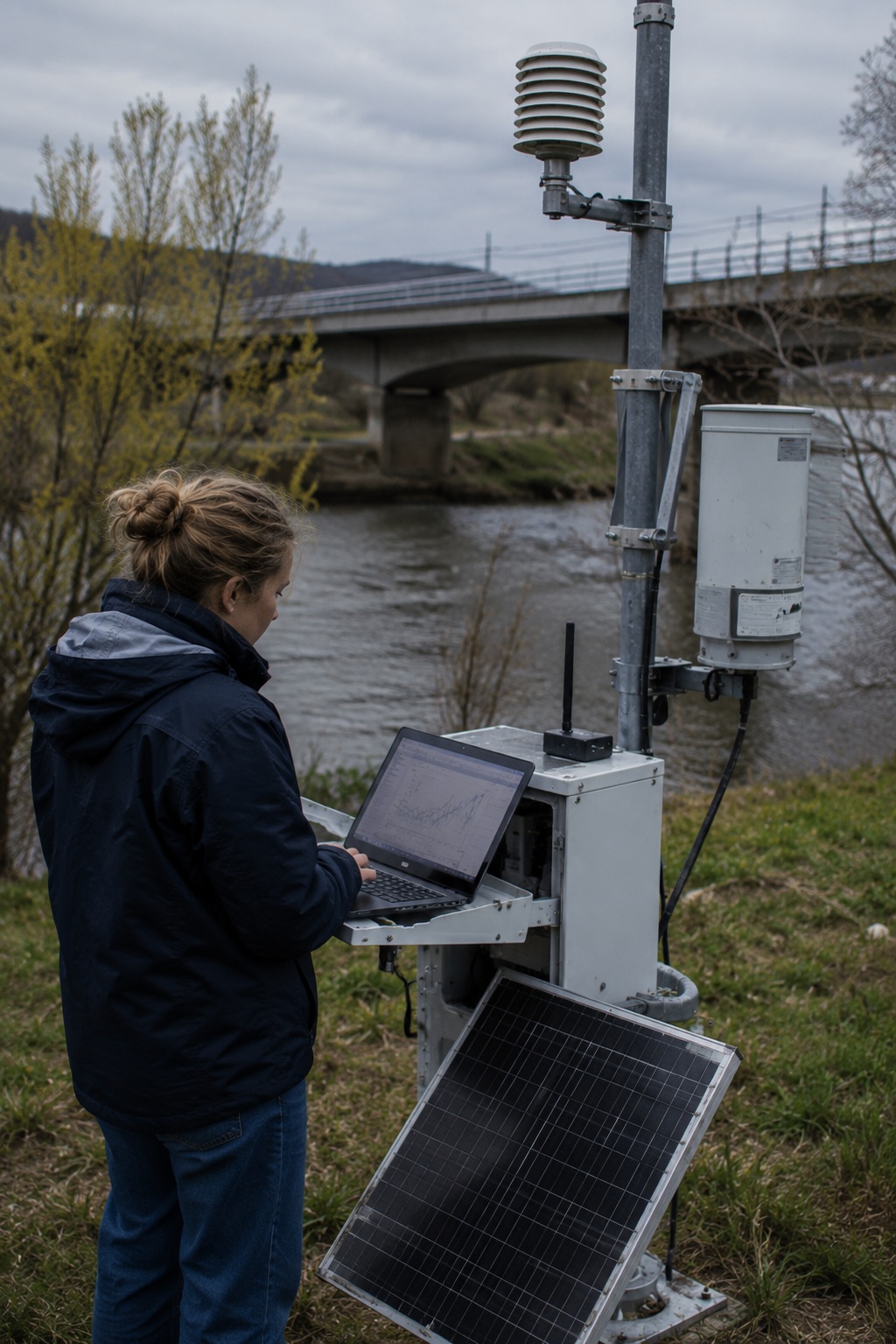
Use maps, dashboards and analytics so decision-makers can act on risks and options faster
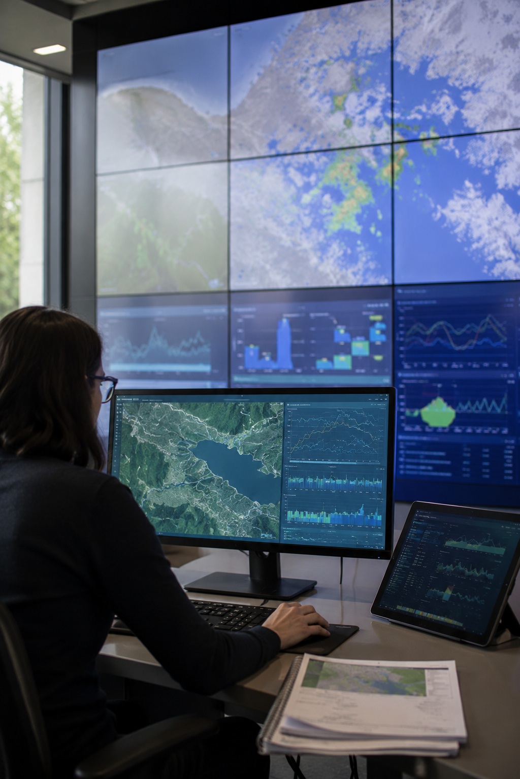
Include abstractions, discharges, reuse and desalination data for more complete resource planning
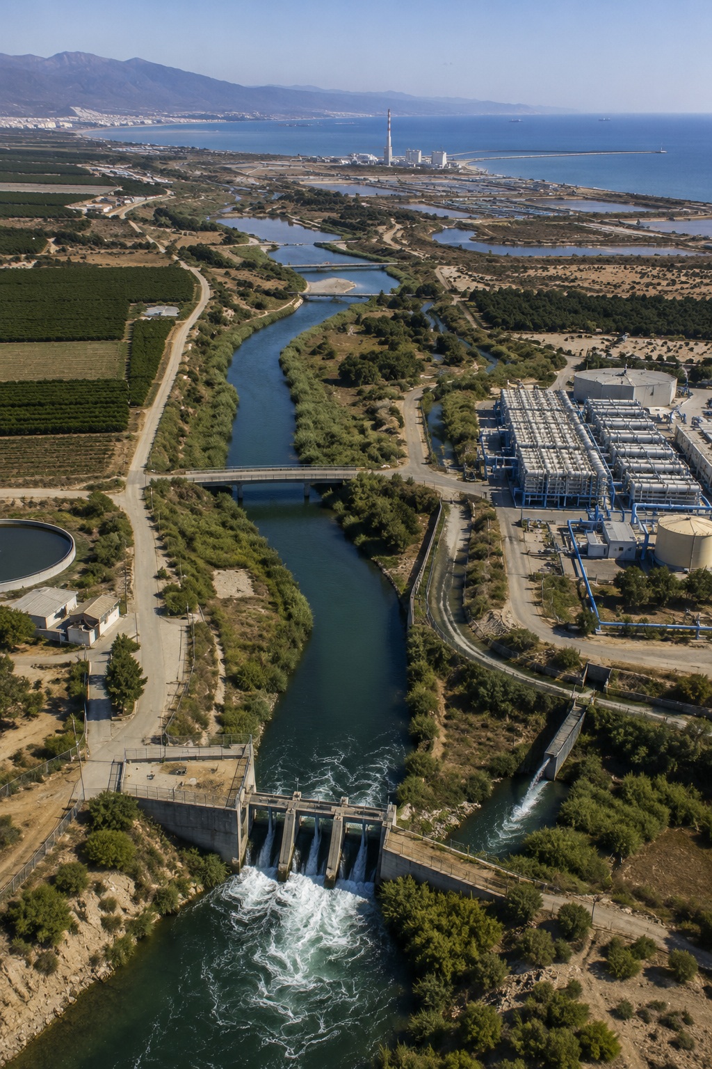
Build a foundation that can evolve with new data sources, policy needs and AI-powered analytics
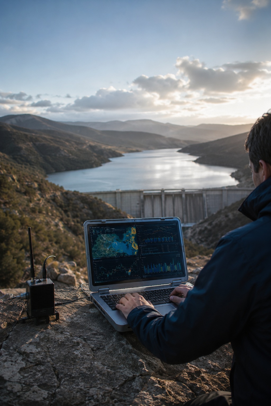
Water decisions made with shared, national-level evidence — before risk becomes crisis
One access point for hydrological, meteorological and water-use information
Faster access to trusted data during droughts, floods and hydrological events
Geospatial dashboards help compare, interpret and apply water data
Traceable, up-to-date information supports authorities, citizens and water users
Turn water data into decisions→