
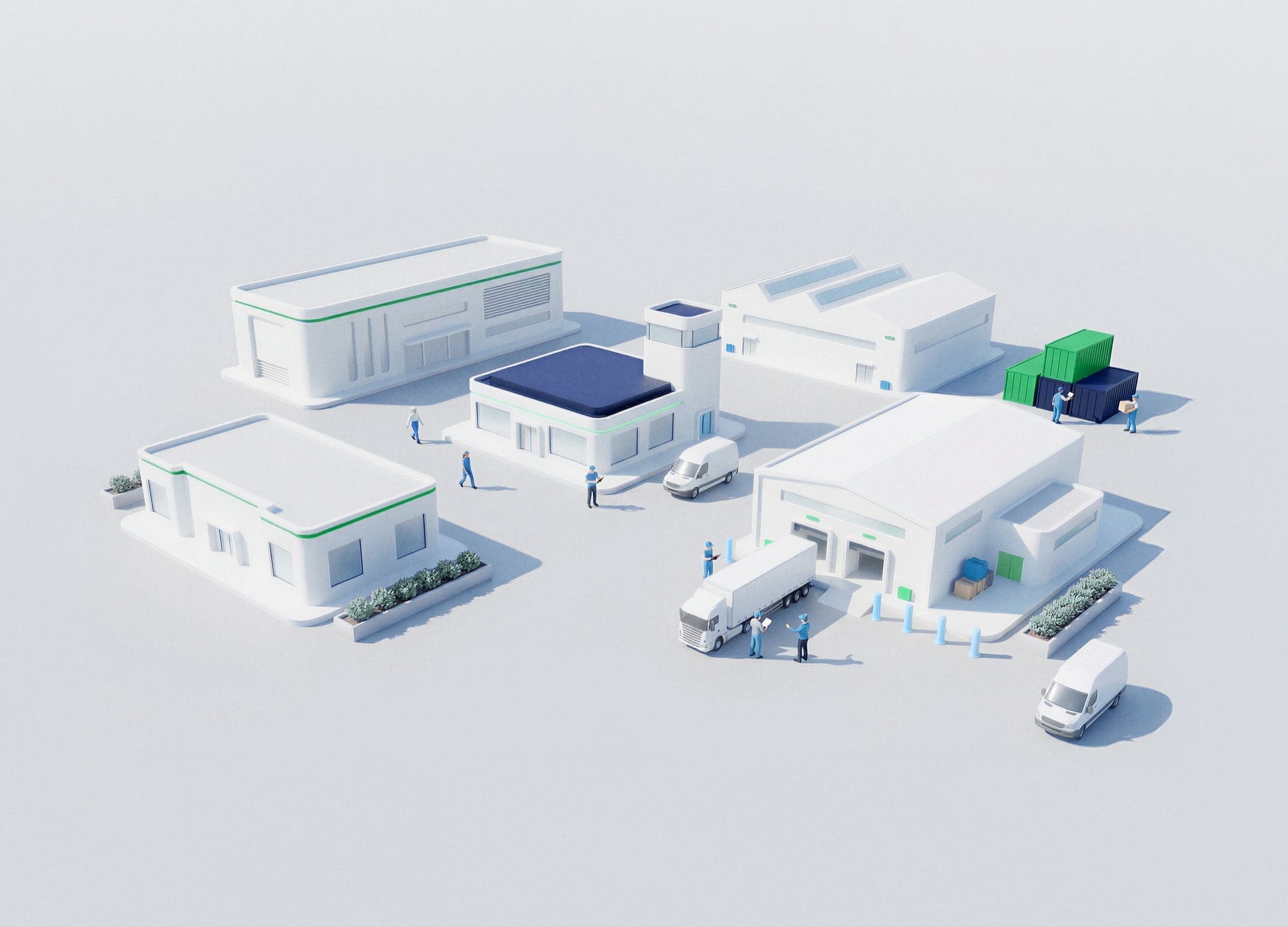
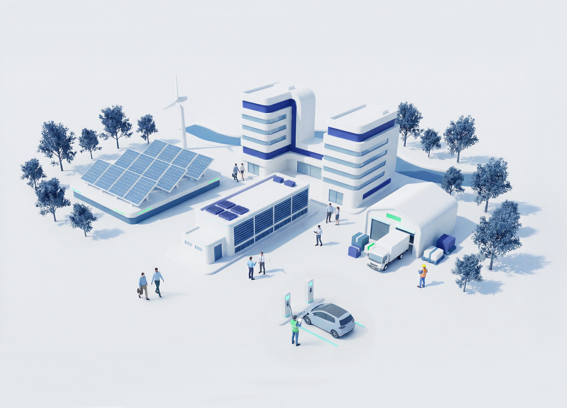



Water management specialist using integrated hydrological, meteorological and water-use data to support faster decisions and more resilient resource planning
心を動かす会話

Water Management Observatory: turning fragmented water data into better decisions

Turning dispersed hydrological, meteorological and water-use data into shared intelligence helping authorities act faster and manage scarce resources with confidence
会議のスケジューリング
ポッドキャストを聴く
-15
+15
0:00
/
0:00
Water risk moves faster when information moves slowly.
The challenge isn't a lack of data — it's data scattered across systems, sources and formats
WHY THIS “WATER MANAGEMENT OBSERVATORY: TURNING FRAGMENTED WATER DATA INTO BETTER DECISIONS” CHALLENGE?

Climate change, extreme weather and rising demand are straining water resources, while critical information stays fragmented across systems. One shared, science-based view is now essential for faster, better-informed decisions

主なメリット
One Water Cycle. One Shared View
チェックアイコン
Turn scattered data into one view

Hydrological, meteorological and water-use data become easier to access, compare and trust

チェックアイコン
See flood risks and water pressures earlier

Near real-time monitoring helps detect emerging flood risks while tracking pressure points across water resources, abstractions and discharges

チェックアイコン
Make technical data usable

Geospatial dashboards and analytics turn complex information into clearer planning and response decisions

チェックアイコン
Plan with wider context

National and European sources add climate, satellite and flood-forecasting intelligence to daily decisions

NTTデータのサポート体制は?

01
Build the unified observatory layer

Connect dispersed water data into a single digital environment for authorities and water teams
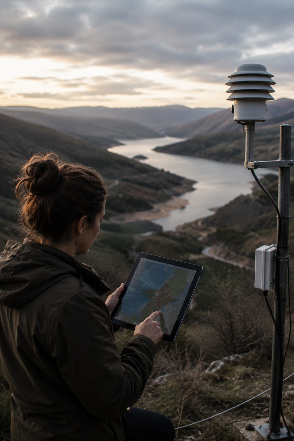
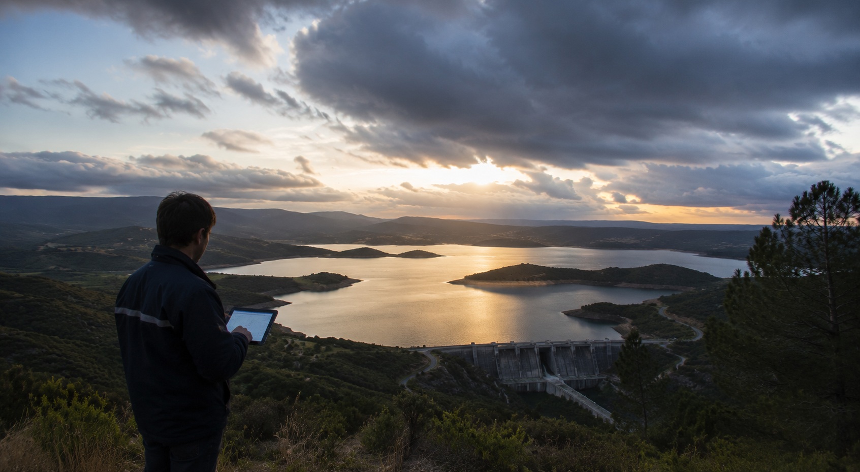
Water management specialist using a unified digital observatory to monitor reservoir, environmental and hydrological data in real time
02
Integrate authoritative data sources

Bring together information from basin authorities, meteorology services and satellite observation
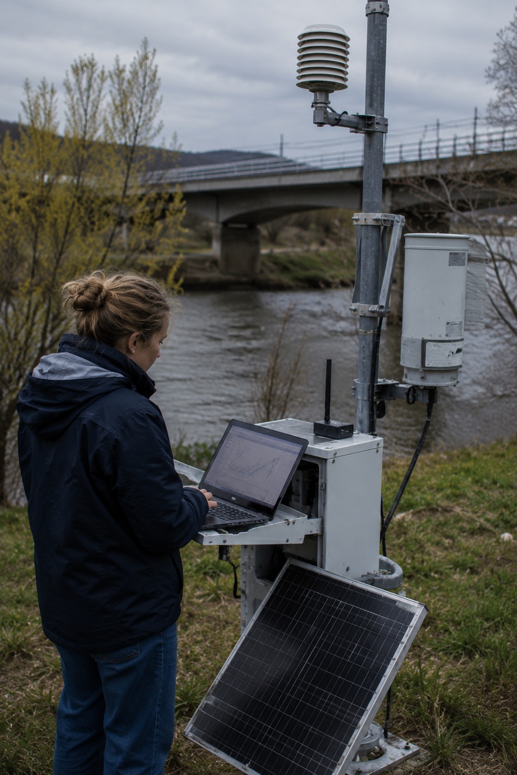
Water monitoring specialist validating riverside sensor data for integration with basin authority, meteorological and satellite information
03
Make insight easier to interpret

Use maps, dashboards and analytics so decision-makers can act on risks and options faster
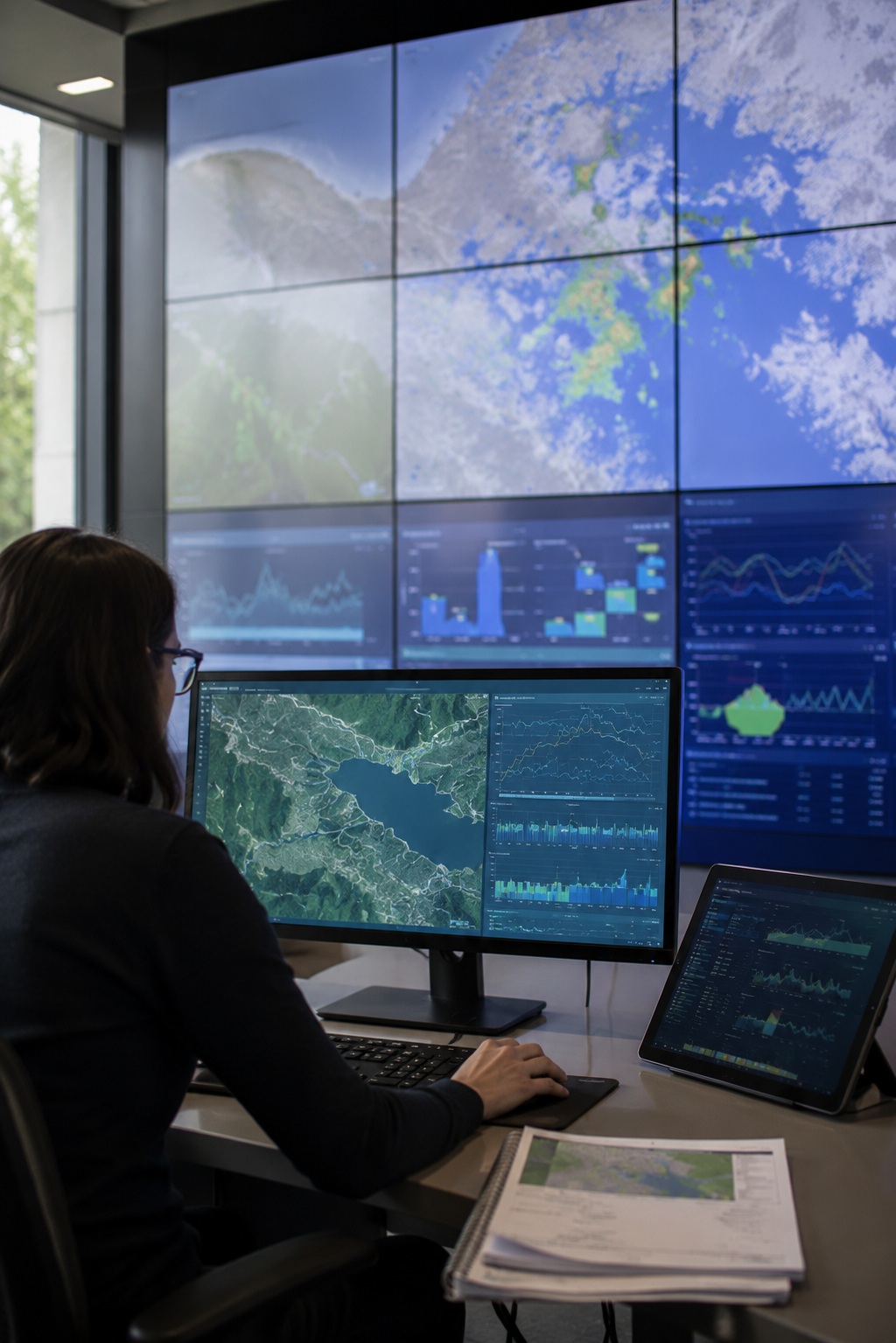
Water management specialist using geospatial maps, dashboards and analytics to interpret hydrological risks and support faster, informed decisions
04
Expand visibility across the water cycle

Include abstractions, discharges, reuse and desalination data for more complete resource planning
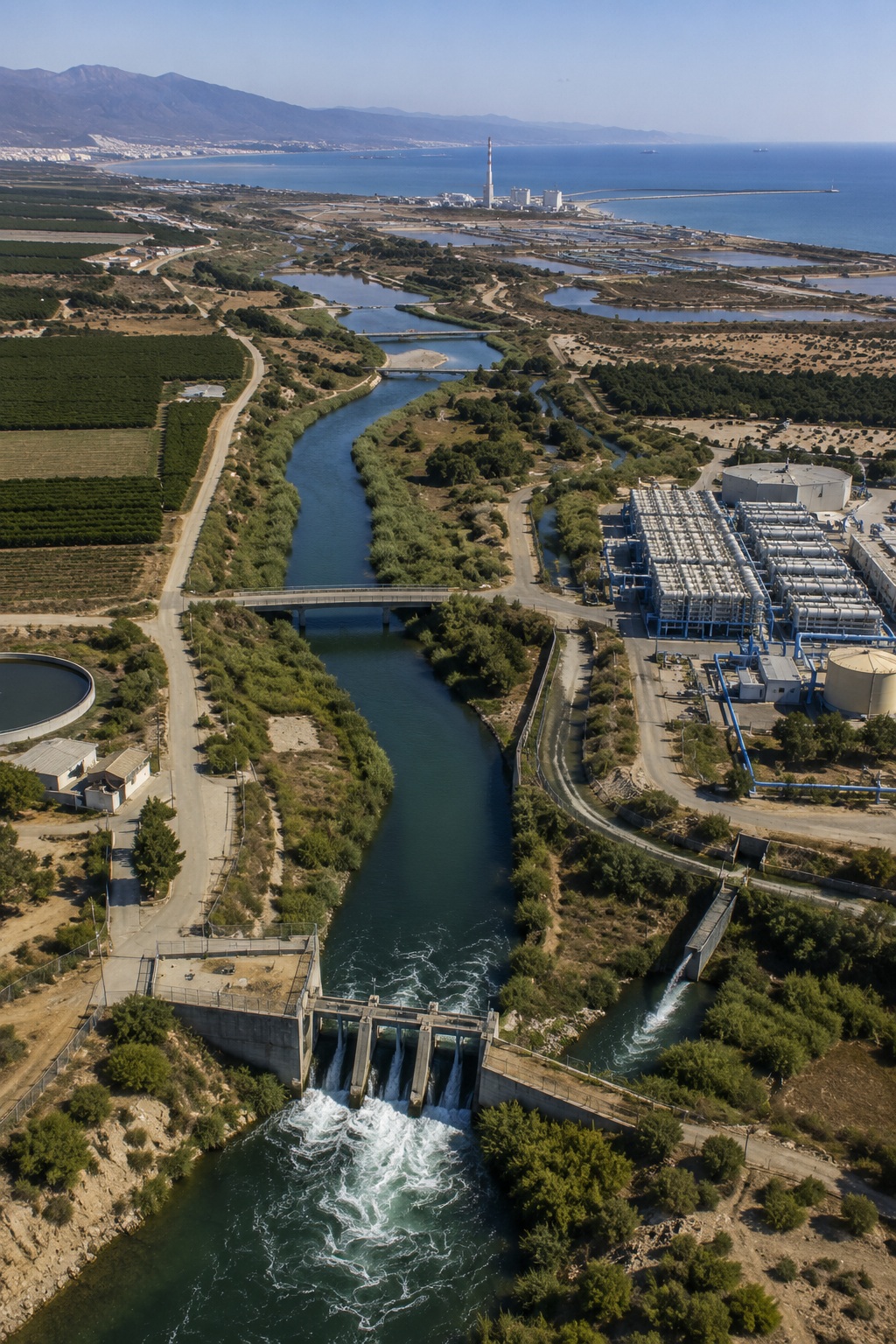
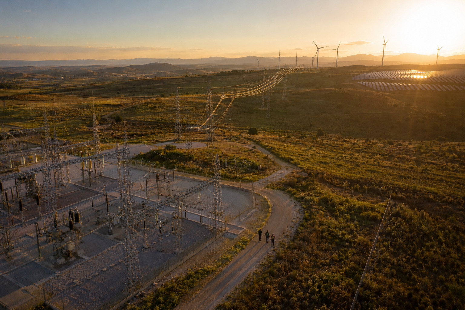
Integrated water infrastructure showing abstractions, treatment, reuse, discharges and desalination to support complete water-cycle planning
05
Design for future evolution

Build a foundation that can evolve with new data sources, policy needs and AI-powered analytics
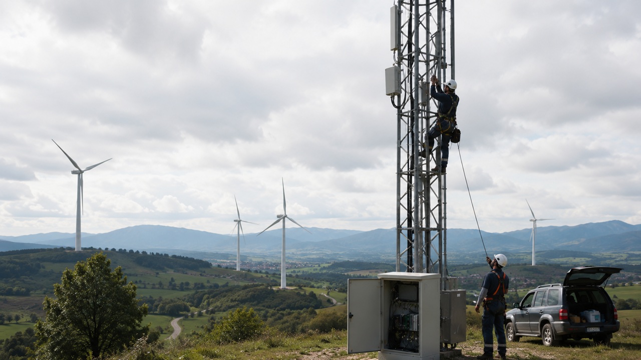
Industrial operations specialist using AI-enabled digital infrastructure for secure, continuously evolving connectivity
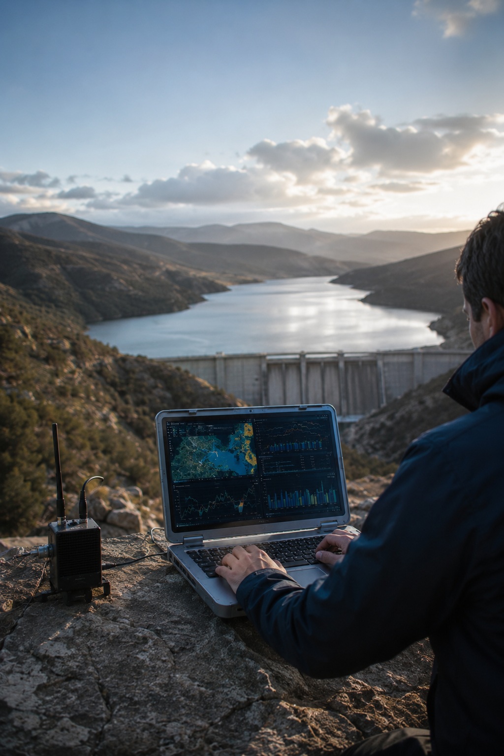
Water infrastructure specialist monitoring reservoir conditions through shared national-level data to identify early risks and support faster, more coordinated water decisions
実証済みの効果
One view, earlier signals

Water decisions made with shared, national-level evidence before risk becomes crisis

重要な結果
Governance Outcomes from Water Intelligence
チェックアイコン
Consolidate national visibility

One access point for hydrological, meteorological and water-use information

チェックアイコン
Accelerate extreme-event response

Faster access to trusted data during droughts, floods and hydrological events

チェックアイコン
Strengthen planning confidence

Geospatial dashboards help compare, interpret and apply water data

チェックアイコン
Improve transparency and reporting

Traceable, up-to-date information supports authorities, citizens and water users

Water resilience starts when every decision-maker can see the same reality, at the right moment

Turn water data into decisions→

ドラッグ