- All Foundries

- Commodity Management & Trading

- Customer & Marketing Strategy

- Digital Engineering

- Station Studio

- Supply Chain & Industry 5.0

- Sustainability

- Physical AI

- Next-Gen Infrastructure










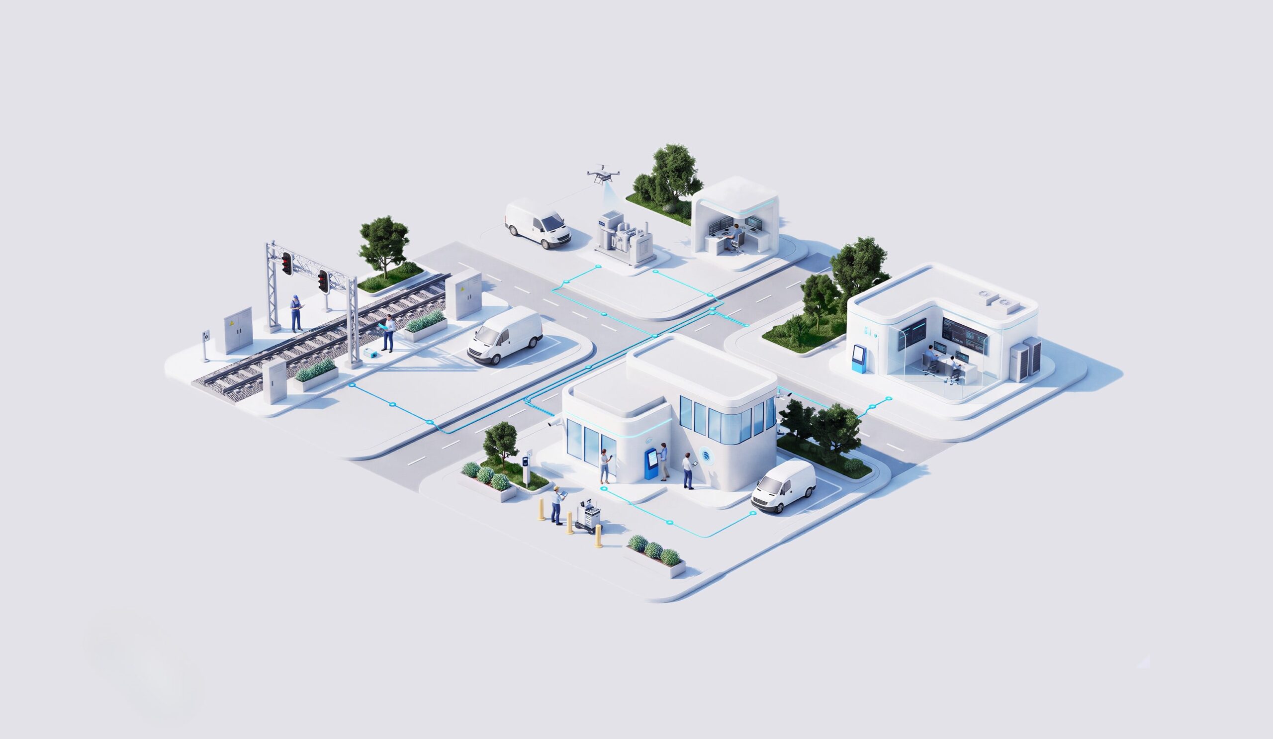

Geospatial Climate Impact Assessment for Utility Investment Planning
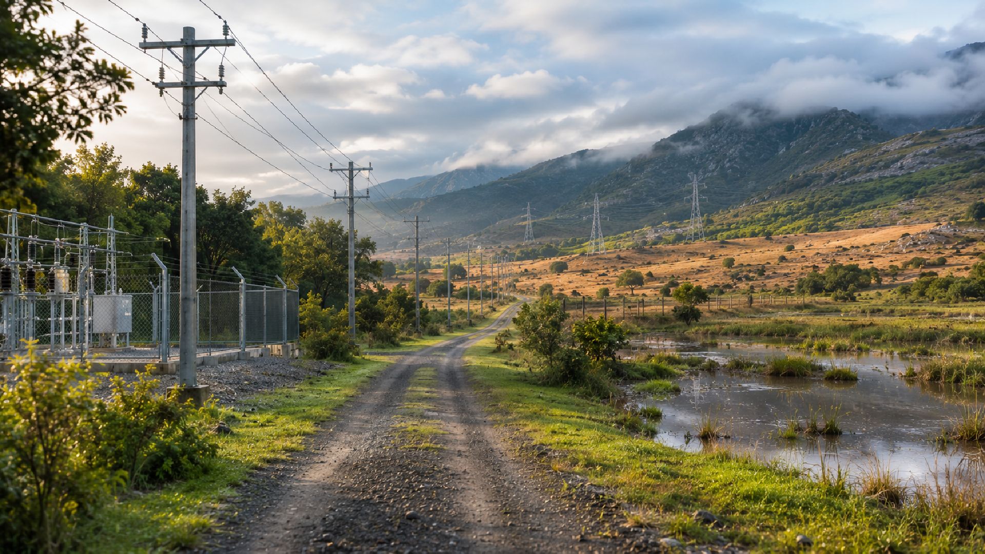

Climate impacts vary materially by location, which makes a single portfolio-level view insufficient for many investment decisions. NTT DATA developed geolocated analytical capabilities that combined acute and chronic climate indicators with territorial analysis. Historical and projected climate information was brought together to create scenario-based visibility of physical-risk exposure. The resulting view gave strategy and investment teams information they could use when considering where and how climate impacts should influence planning.
The assessment had to preserve the geographic differences in climate exposure while bringing several risk perspectives into one usable view. Strategy and investment teams needed information that connected acute and chronic hazards, historical and projected conditions, and territorial context without leaving the analysis in a purely technical form.

Climate impacts vary materially across territories, so the assessment needed to retain location-specific differences instead of relying on a single generalised exposure view.
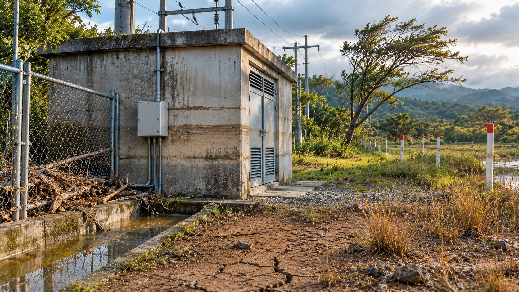
Investment decisions required visibility across acute and chronic hazards, supported by both historical and projected climate information.
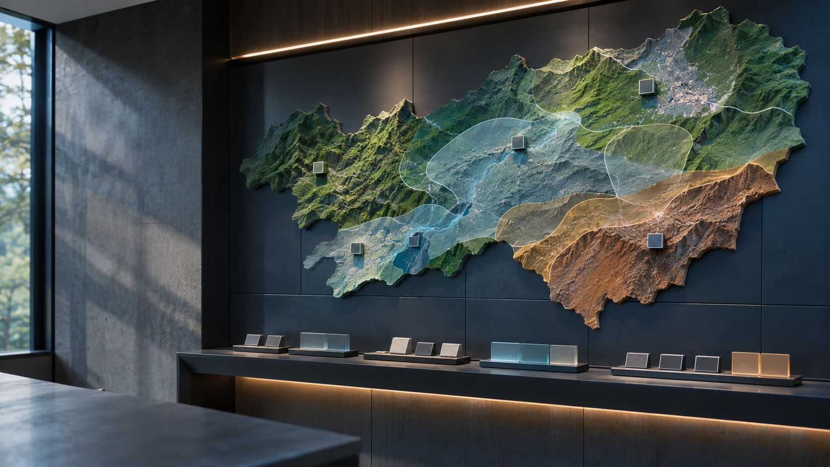
Climate and territorial data had to be converted into decision support that strategy and investment teams could interpret and use in planning discussions.

The analysis needed to show where and how climate exposure should be considered in strategic investment and exposure decisions, linking physical-risk information to corporate planning.
NTT DATA built geolocated analytical capabilities for climate-risk assessment and combined territorial analysis with historical and projected climate information. The approach brought acute and chronic risk perspectives into scenario-based views that could be read by business teams and used to support investment planning and climate-risk exposure decisions.

The solution linked climate-risk analysis to specific locations, allowing exposure to be viewed in the territorial context relevant to investment decisions.
Historical and projected climate information was analysed alongside acute and chronic indicators to provide a broader view of physical-risk exposure.
Scenario-based views helped teams examine how climate conditions and exposure could vary across locations and planning contexts.
Geospatial outputs were structured for strategy and investment teams so physical-risk information could be incorporated into investment planning, exposure management and corporate decision-making.
The documented solution was used to support strategic investment planning and climate-risk exposure decisions, improving the ability to identify where and how climate impacts should influence corporate strategy. The source does not provide quantified financial benefits, reductions in physical risk or measured resilience improvements, so the impact remains framed as improved decision support and exposure visibility.
success stories