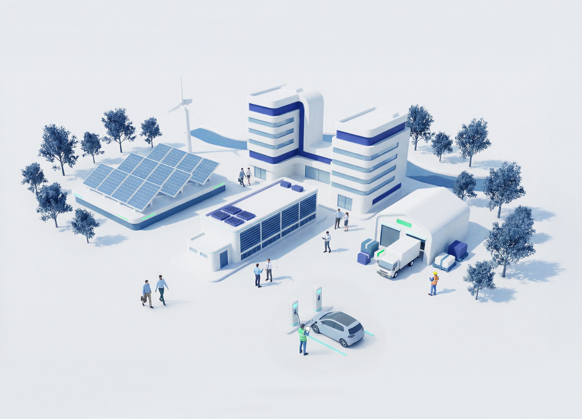
- Commodity Management & Trading

- Customer & Marketing Strategy

- Digital Engineering

- Station Studio

- Supply Chain & Industry 5.0
- Sustainability


Commodity Management & Trading
Transforming trading ecosystems through data-driven insights and secure, agile platforms that empower global commerce.

Customer & Marketing Strategy
Reimagining customer engagement with personalized, connected experiences that build trust and long-term value.
Digital Engineering
Turning ideas into scalable digital solutions—accelerating transformation through design, technology, and engineering excellence.

Station Studio
Redefining mobility hubs with digital innovation to create smarter, sustainable experiences for people and businesses on the move.
Supply Chain & Industry 5.0
Building resilient, intelligent supply networks that anticipate change and deliver efficiency with purpose.
Sustainability
Driving responsible innovation to help organizations achieve net-zero goals and create a positive impact for future generations.


Talks that move
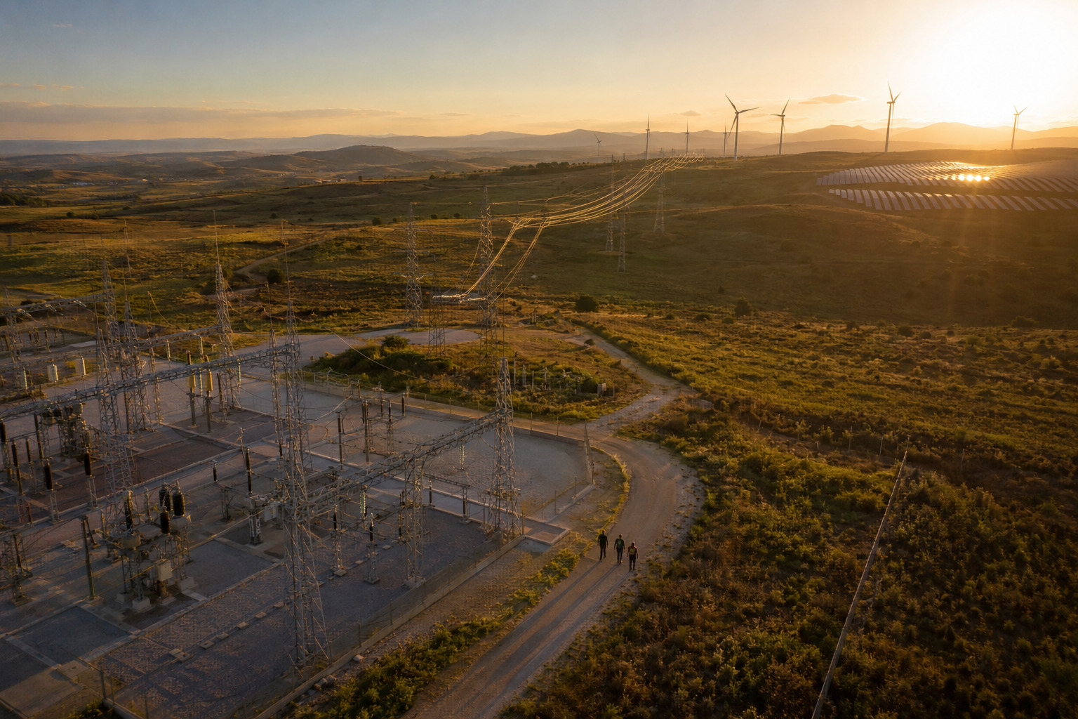
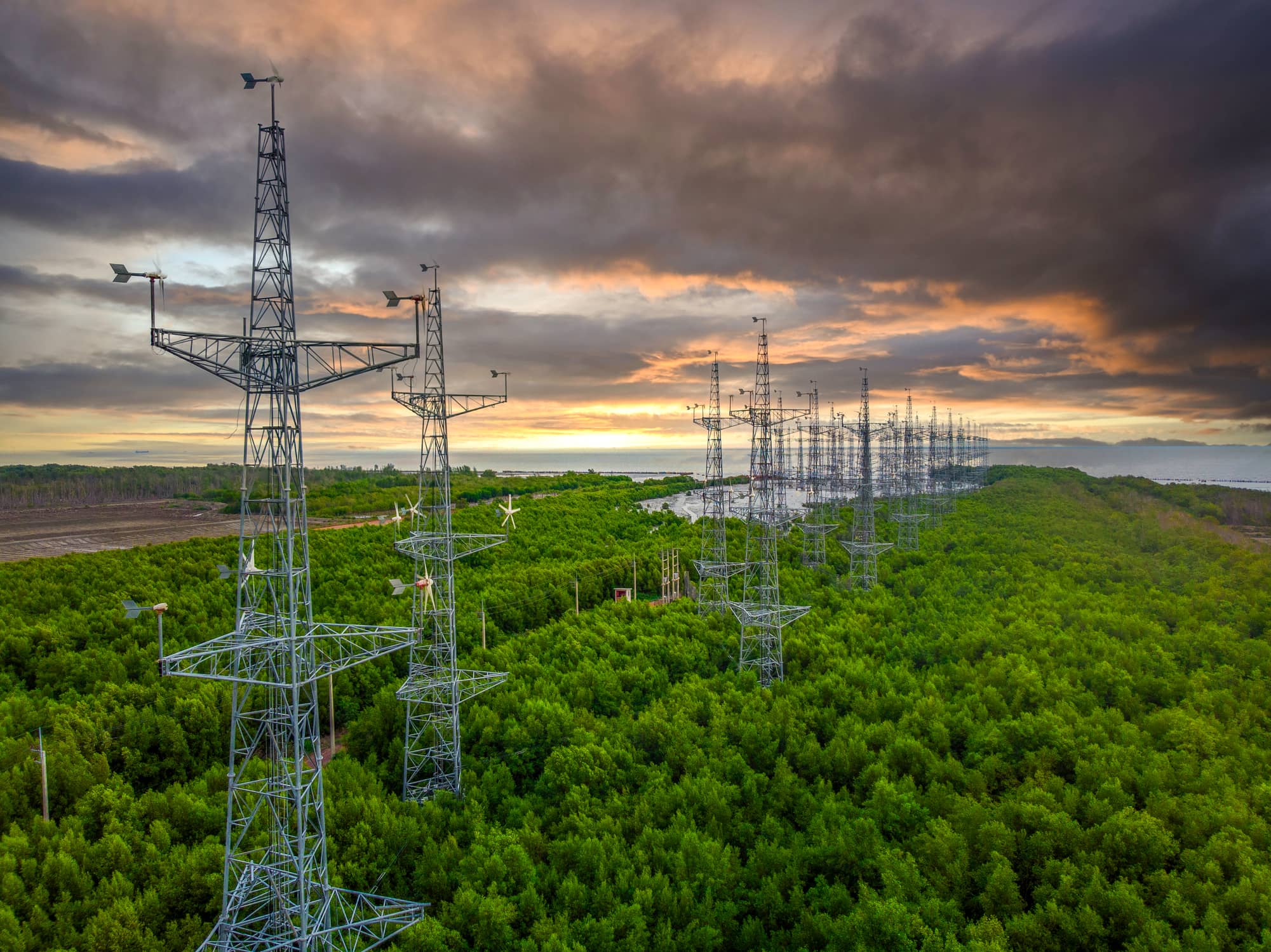
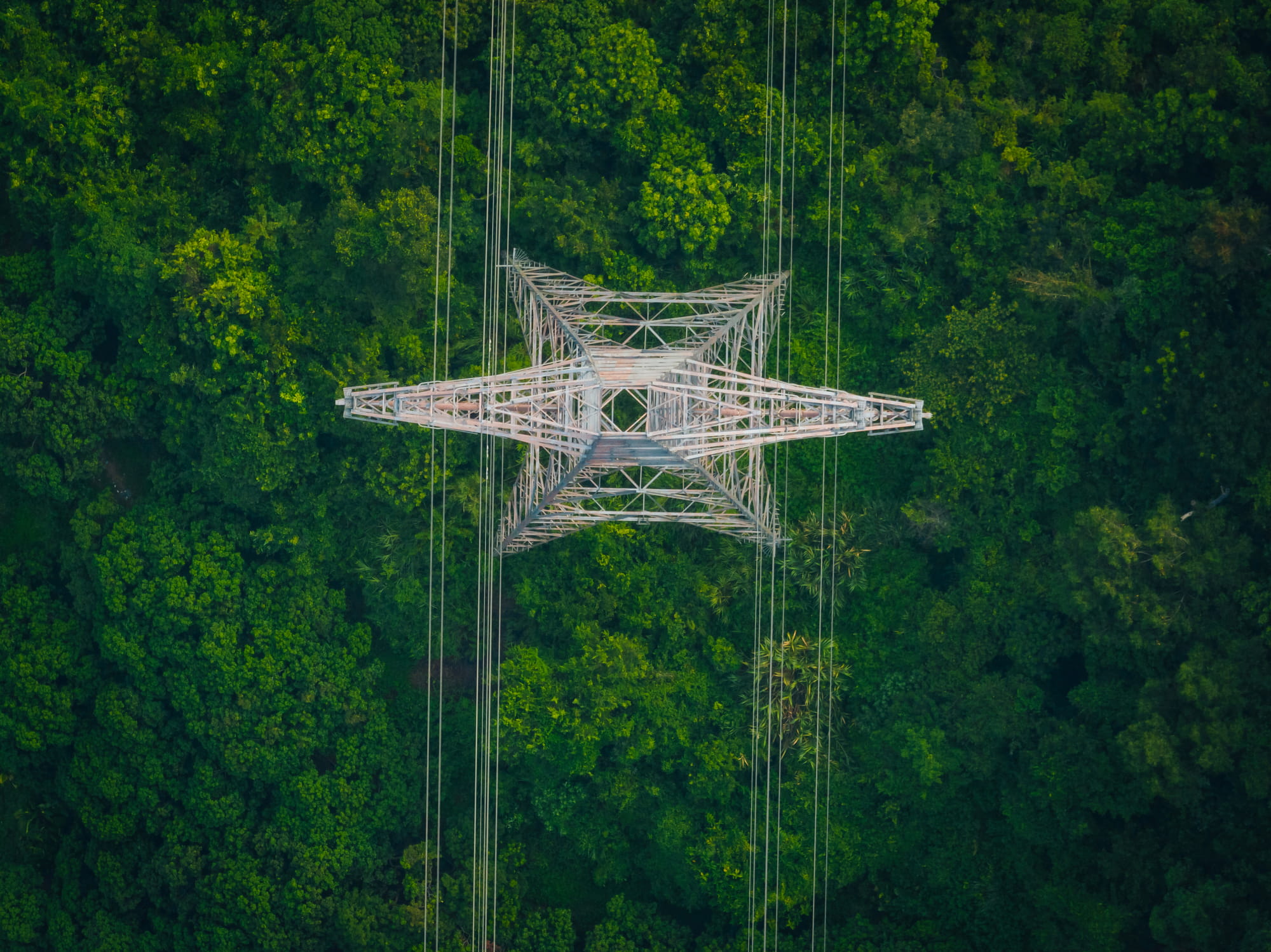
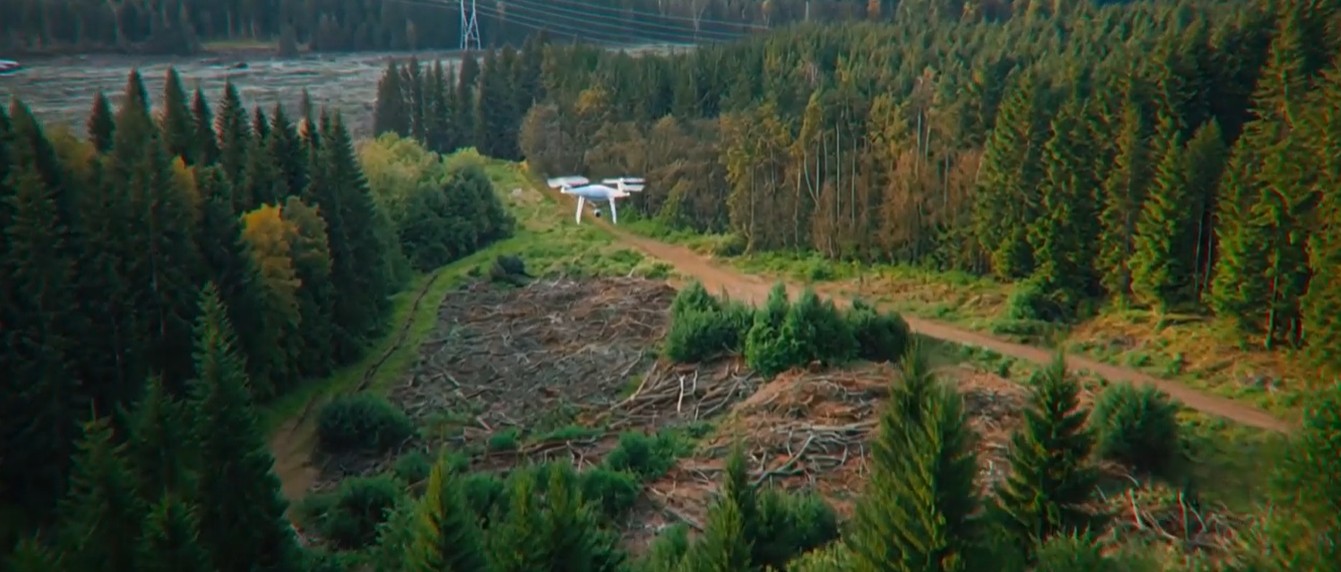
Geospatial monitoring of high-risk vegetation
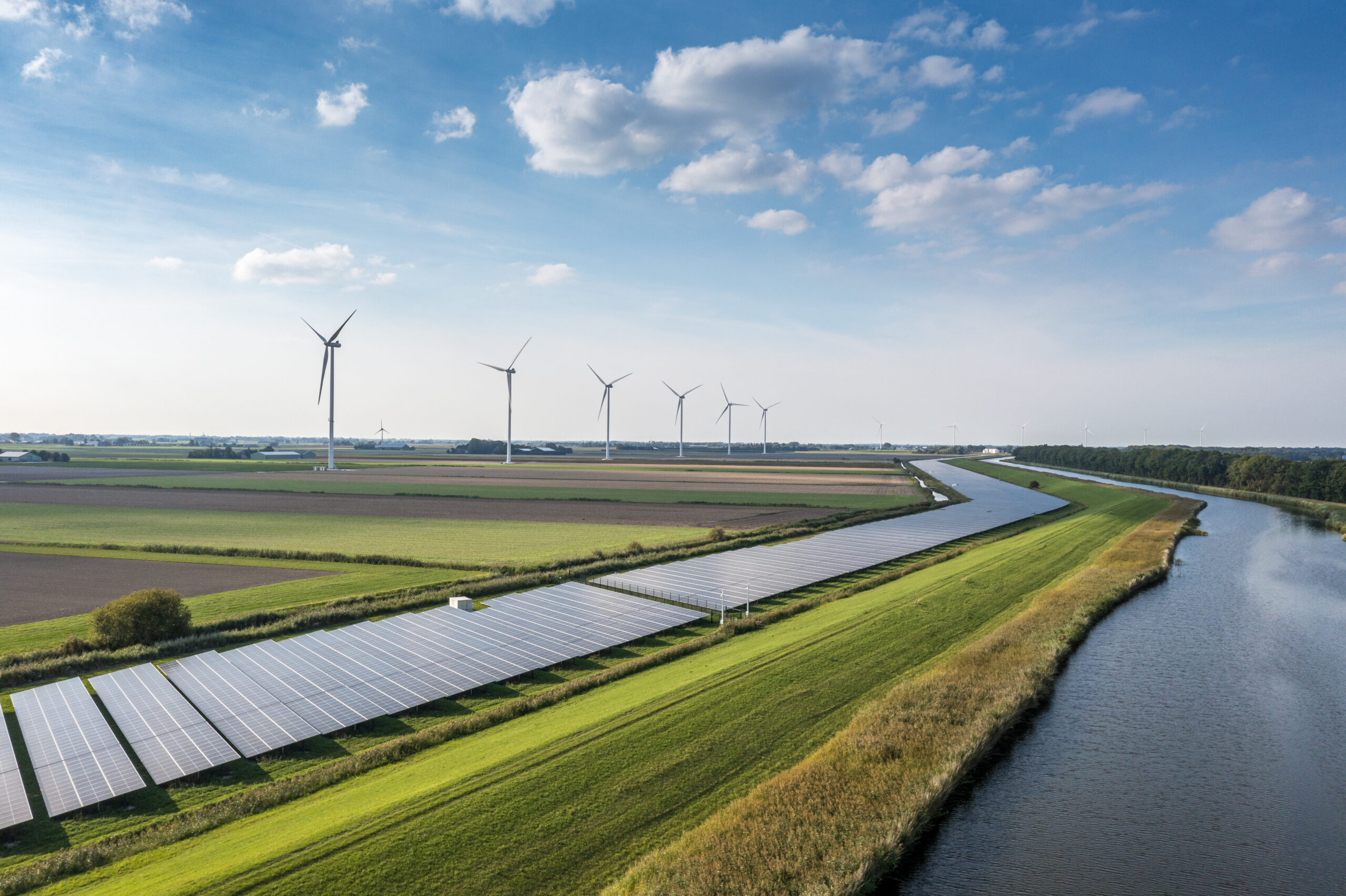
Satellite-driven monitoring combined with AI enables proactive vegetation management—reducing outages, wildfire risks, and operational costs across power networks.
Schedule a meeting
Listen podcast
-15
+15
0:00
/0:00
Vegetation interference drives up to 20–30% of unplanned outages and is a leading cause of wildfires, increasing risk, cost, and regulatory pressure on utilities.
Why this Vegetation Intelligence challenge?
From reactive trimming to predictive risk management
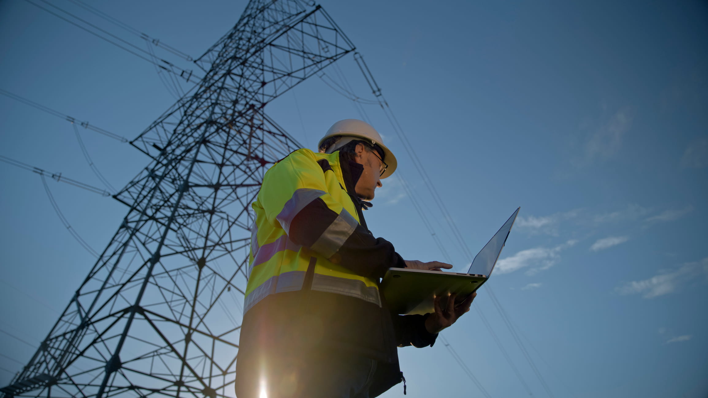
Utilities rely on periodic inspections and local data, limiting their ability to anticipate vegetation growth, prioritize interventions, and prevent high-impact incidents.
Key benefits
Turning vegetation risk into operational intelligence
From fragmented monitoring to integrated, predictive control
Early risk detection at scale
Identify vegetation encroachment and growth patterns across large territories using satellite data
Precision intervention planning
Use high-resolution drone and LiDAR data to assess proximity, height, and biomass
Real-time environmental awareness
Leverage IoT sensors to detect conditions that accelerate vegetation-related risks
Predictive maintenance optimization
Apply AI models to anticipate risks and prioritize actions efficiently
How NTT DATA helps
01
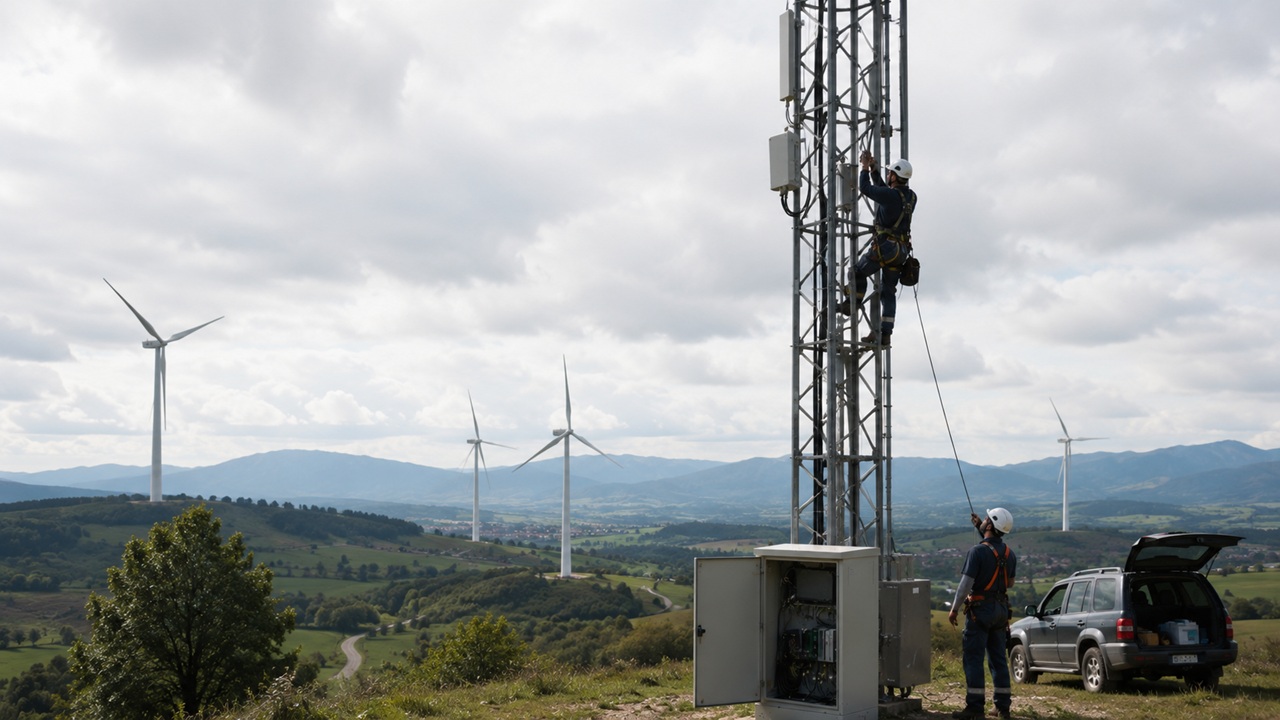
Multi-layer monitoring strategy
Combine satellite, drone, and IoT data into a unified vegetation management approach

02
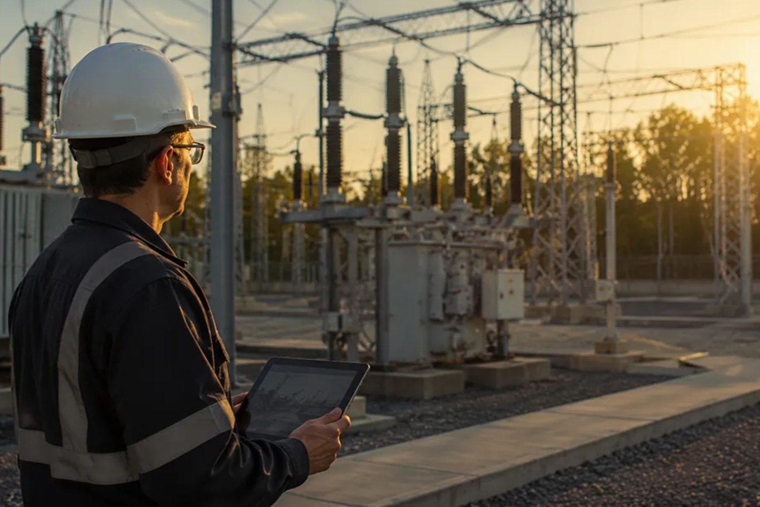
Data integration and digital platform
Centralize geospatial, environmental, and operational data for real-time visibility

03
AI-driven risk analytics
Deploy predictive models to forecast vegetation growth and identify high-risk zones

04
Operational control and automation
Enable automated alerts, reporting, and decision-making for field teams
05
Field execution optimization
Prioritize and schedule interventions based on risk, reducing unnecessary operations

Proven impact
Reducing outages, risks, and costs through predictive vegetation control
Deliver measurable gains in network resilience, safety, and cost efficiency through predictive, data-driven vegetation management
Results that matter
Tangible improvements in resilience, safety, and cost efficiency
Reduction in unplanned outages
By proactively managing vegetation interference across networks
Lower wildfire and safety risks
Reduce ignition sources and protect communities and infrastructure
Optimized maintenance costs
Target interventions based on risk instead of fixed cycles
Improved regulatory compliance
Enhance traceability and reporting with data-driven insights
See AI-powered monitoring in action
Satellite-driven monitoring combined with AI enables proactive vegetation management—reducing outages, wildfire risks, and operational costs across power networks.
Turn Vegetation Risk into a Strategic Advantage
Discover how to proactively protect your network, reduce outgates and unlick data-driven resilience at scale