- Commodity Management & Trading

- Customer & Marketing Strategy

- Digital Engineering

- Station Studio

- Supply Chain & Industry 5.0
- Sustainability


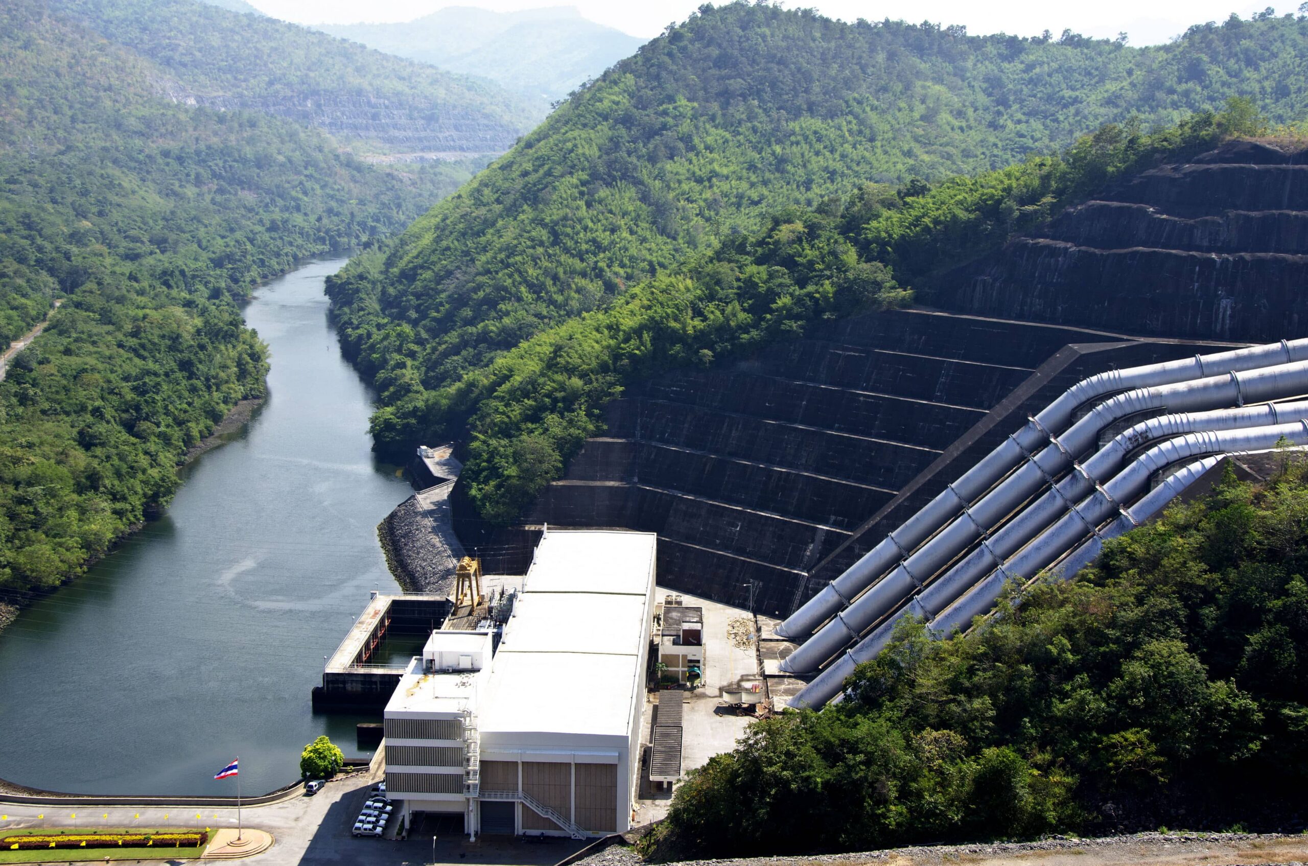
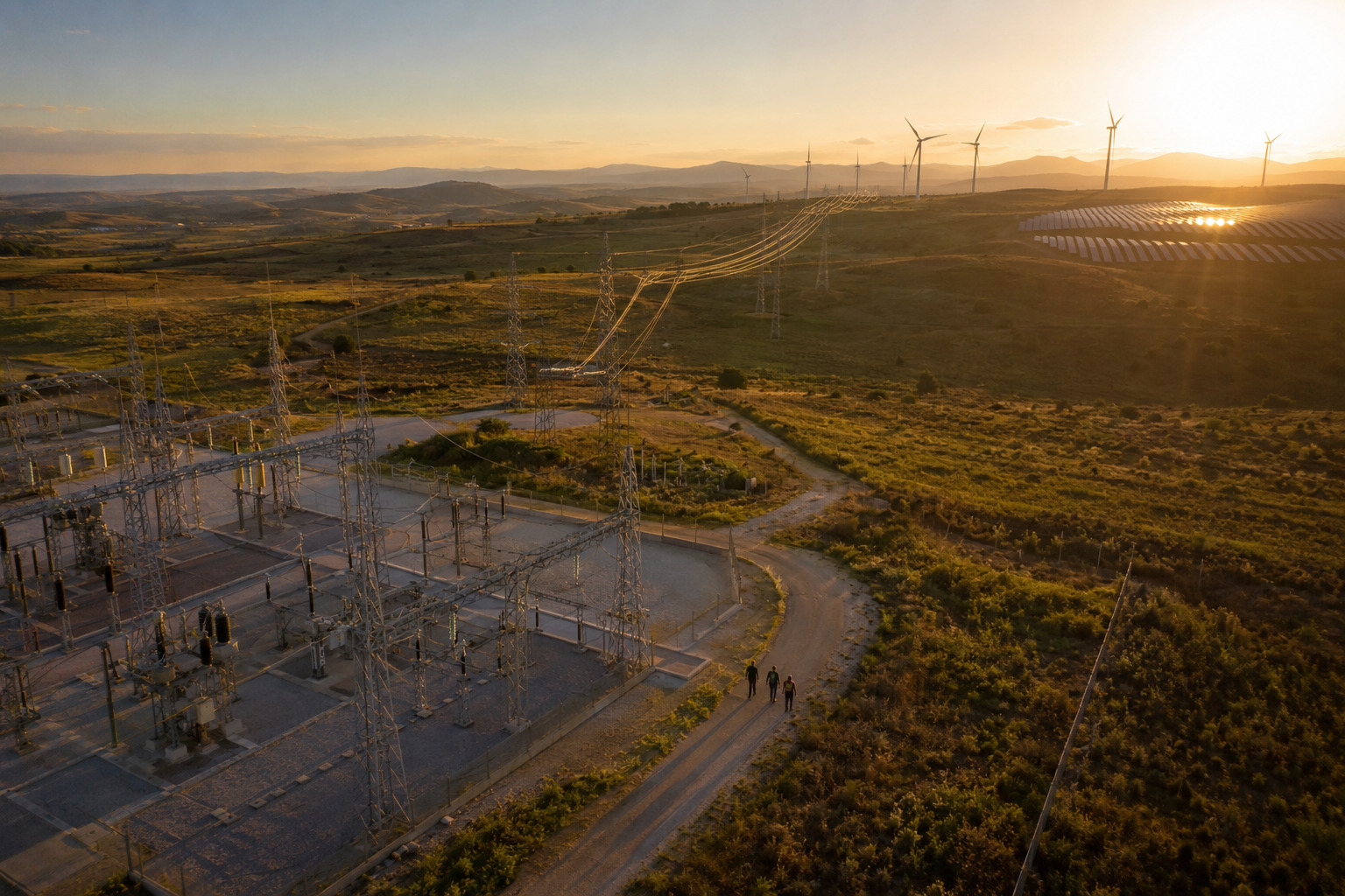
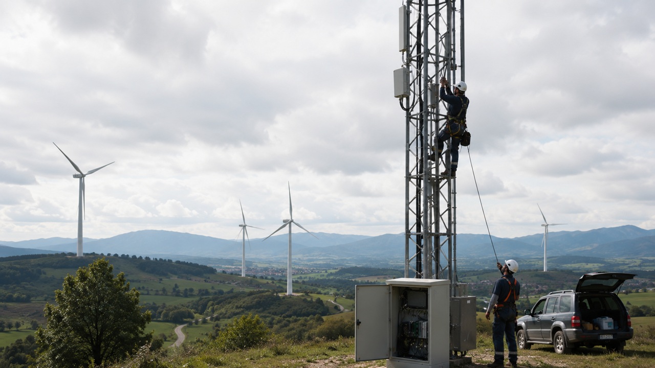
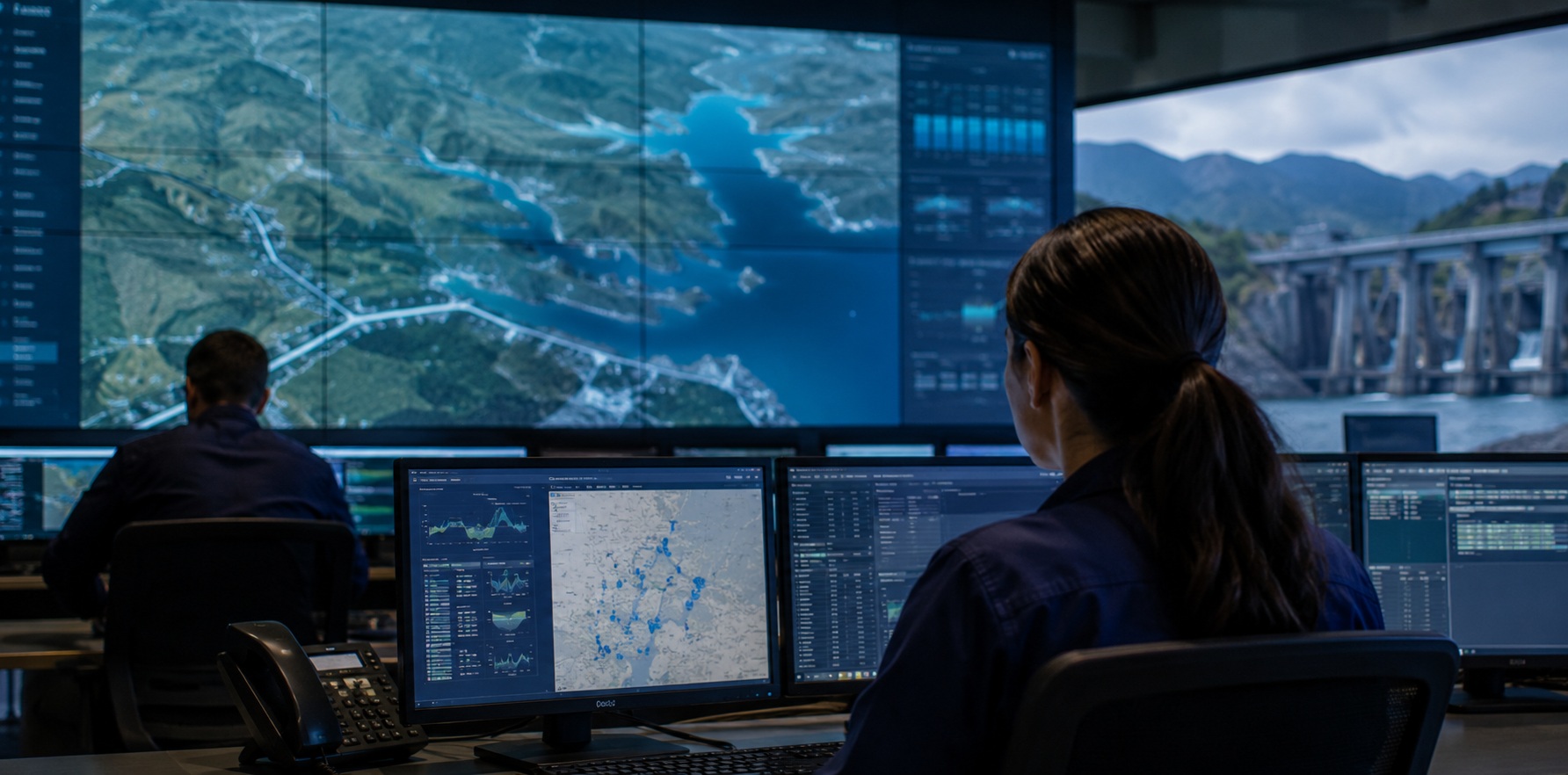
Landslide Monitoring in Dam Areas


Discover the expert’s conversation that drives us forward. Talks that move:
Subtle ground movements, vegetation loss, or slope changes often remain undetected until they become critical, putting infrastructure and nearby communities at risk.
Transform risk management in dam areas through continuous monitoring, millimetric deformation detection, and advanced geospatial analysis—enabling early identification of instabilities and precise prioritization of high-risk zones.
Track terrain evolution over time with consistent geospatial data.
Detect millimetric ground deformation using advanced radar technologies.
Identify instability patterns before critical events occur.
Generate risk maps to focus attention on high-criticality zones.
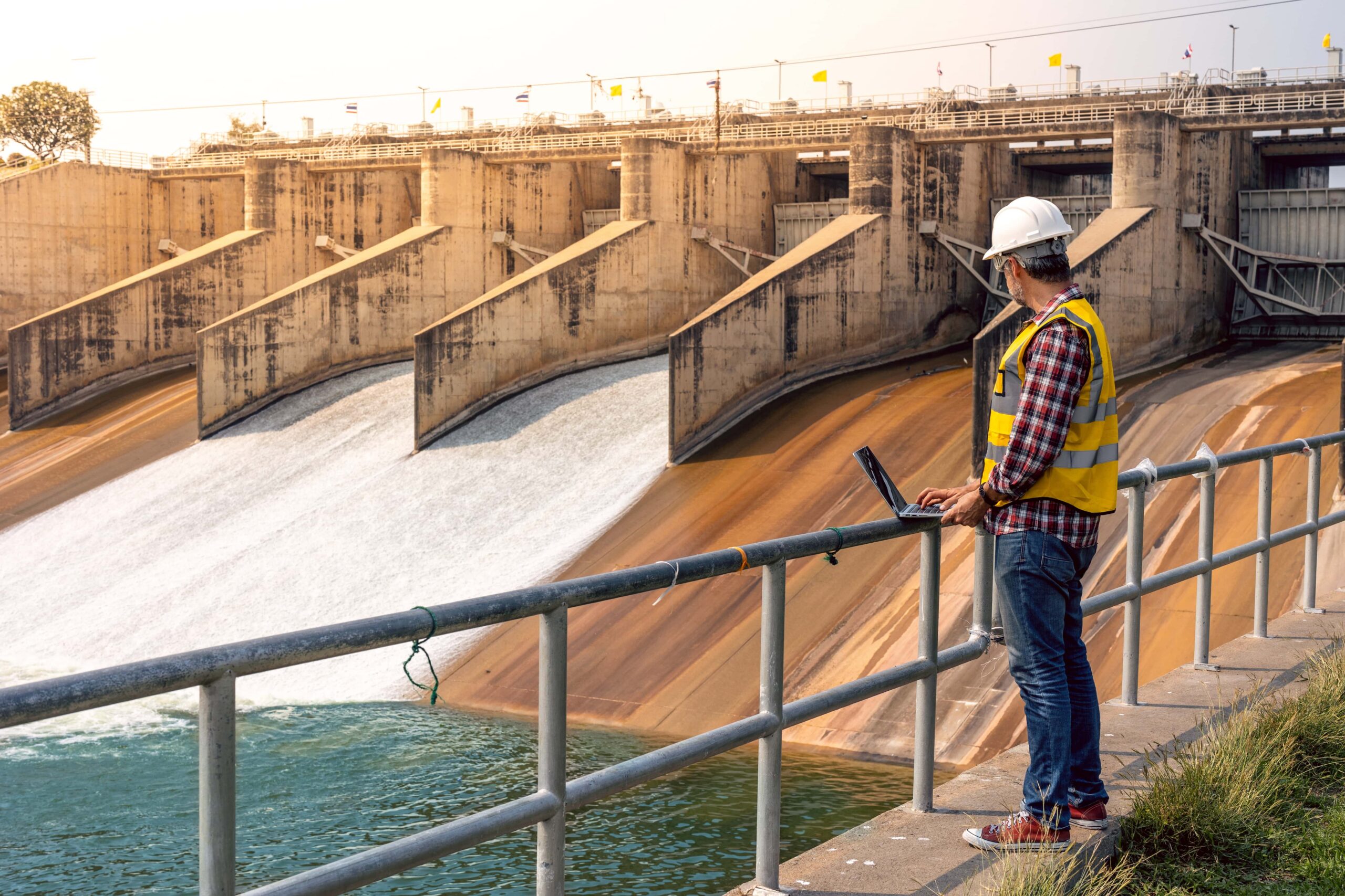
How NTT DATA helps
Combine satellite imagery and drone data for consistent observation

Identify terrain variations such as cracks, subsidence, or slope shifts.

Incorporate variables like rainfall and soil conditions into risk models

Classify unstable areas and trigger alerts for timely intervention

Enable continuous, wide-area coverage with reduced operational effort

Detect ground instabilities early, reduce operational costs through continuous monitoring, and enhance the safety of infrastructure and communities. Enable faster, more accurate decision-making with real-time, data-driven insights.
Identify subtle ground changes before visible failure occurs
Minimize reliance on frequent drone deployments and field inspections
Enable preventive actions to avoid structural failures or disasters
Leverage real-time, data-driven insights for risk prioritization.