- All Foundries

- 商品管理と取引

- 顧客とマーケティング戦略

- デジタルエンジニアリング

- ステーション・スタジオ

- サプライチェーン&インダストリー5.0
- サステナビリティ

- Physical AI

- Next-Generation Infrastructure





Flood risk digital management
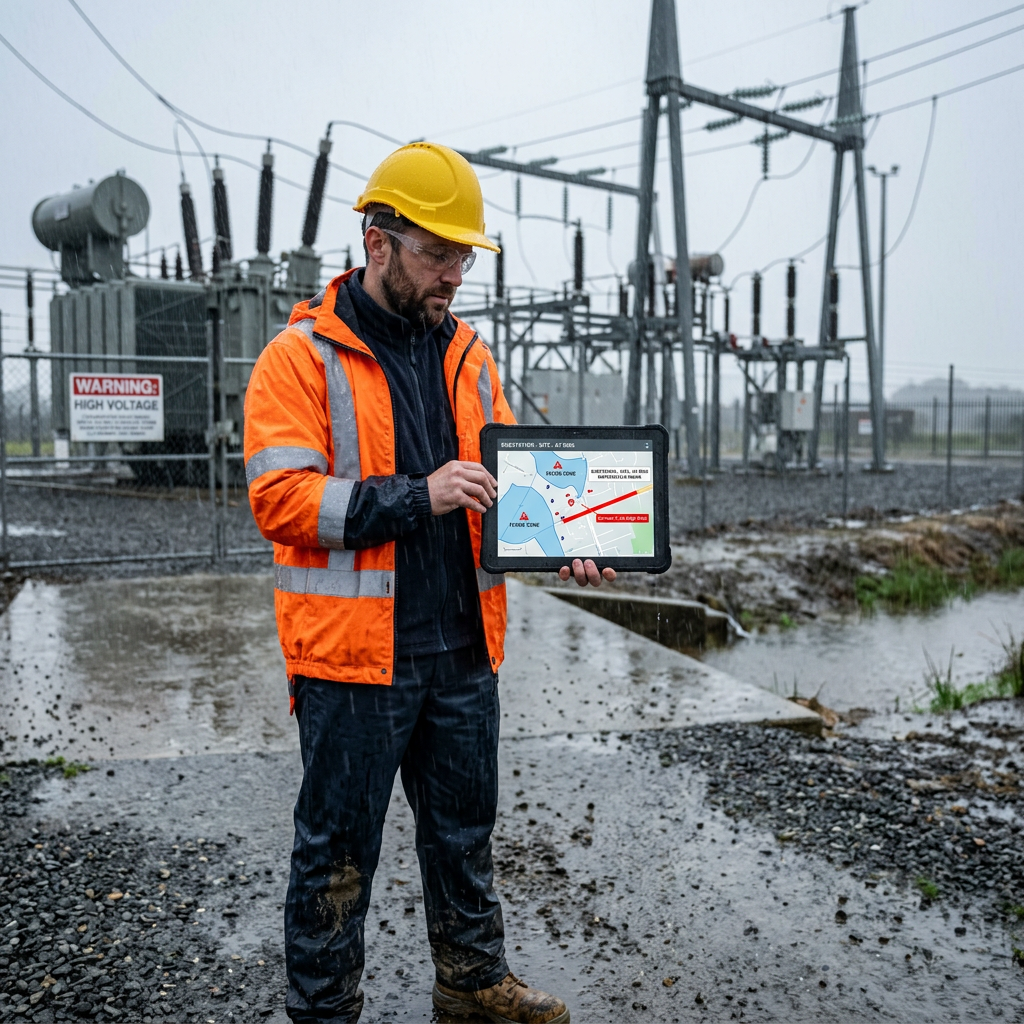
Water levels and rainfall change by the hour, but many utilities still rely on static flood maps built from historical events. Flood risk digital management tracks rising water against the substations, plants and lines it threatens.
Flood risk digital management helps you see rising water sooner and protect the assets it threatens first.

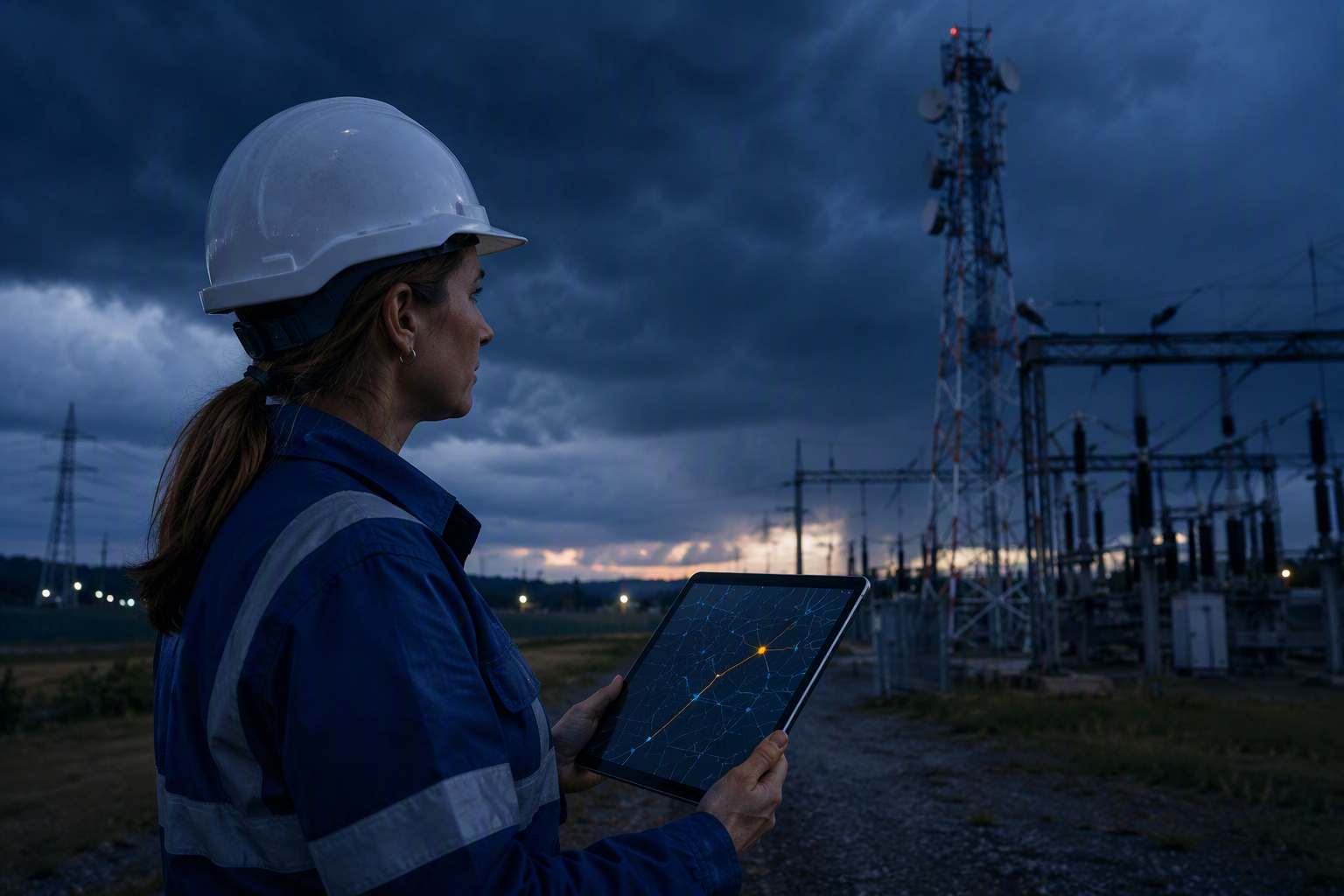
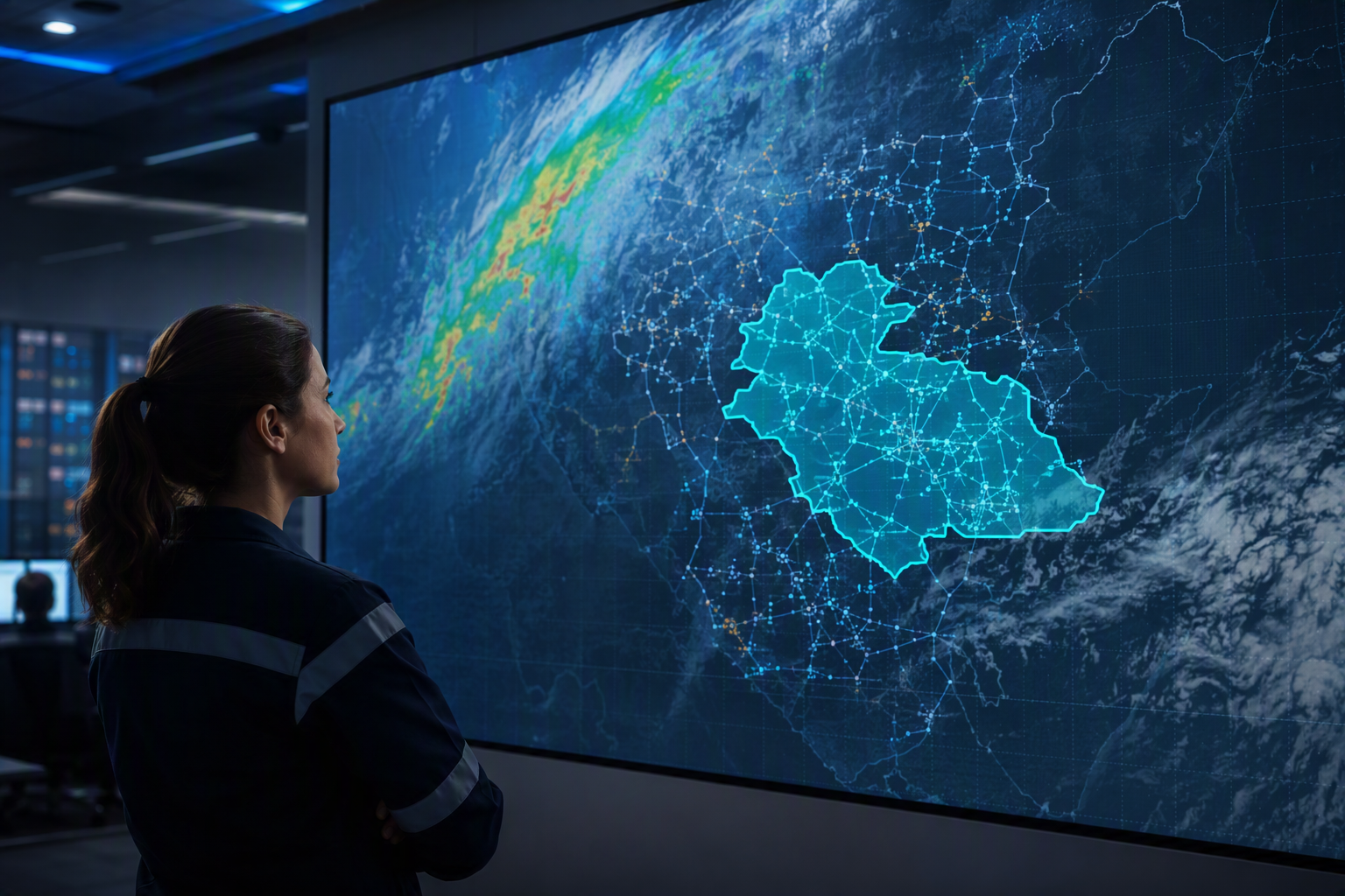
Earth observation and weather intelligence track rainfall and water levels against your asset locations in near real time.
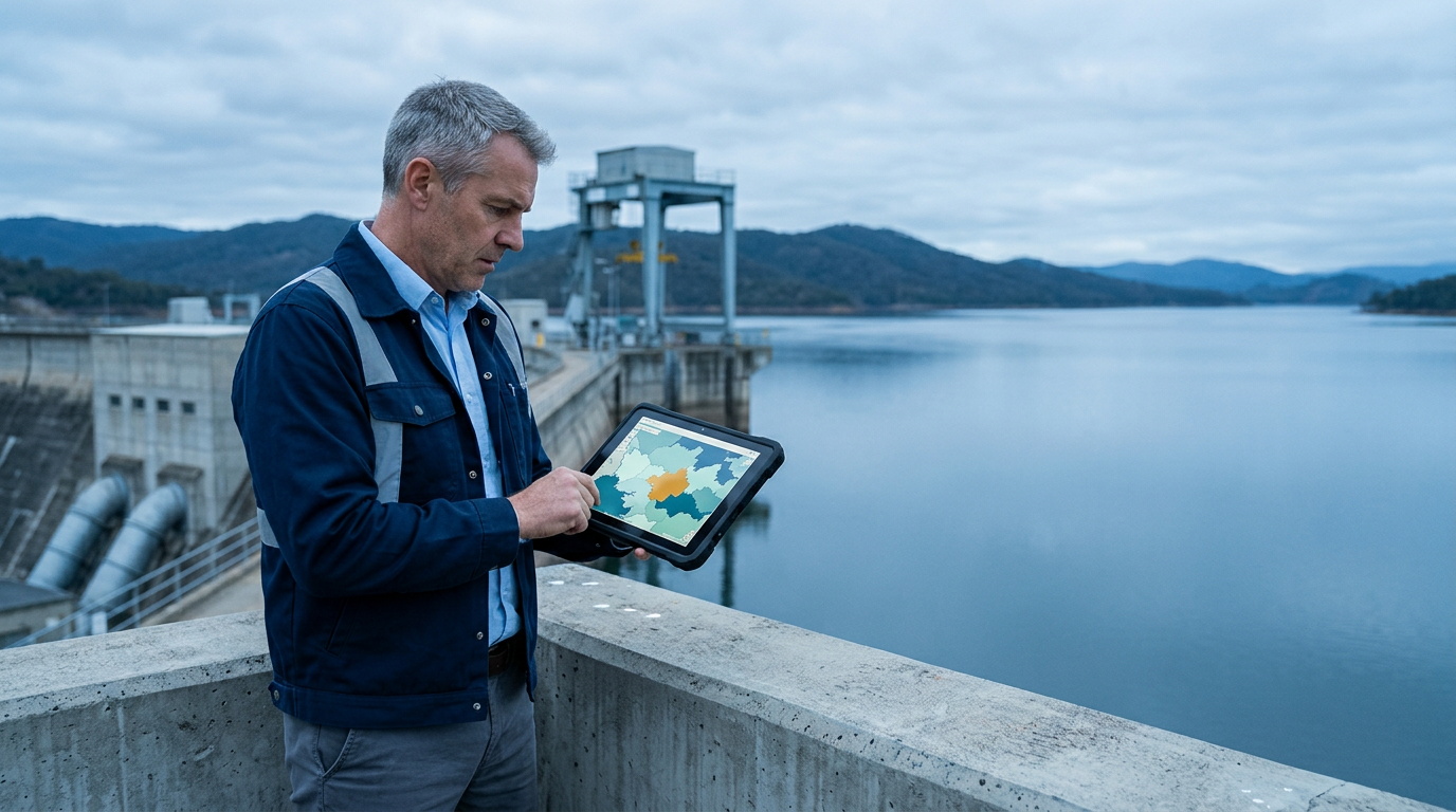
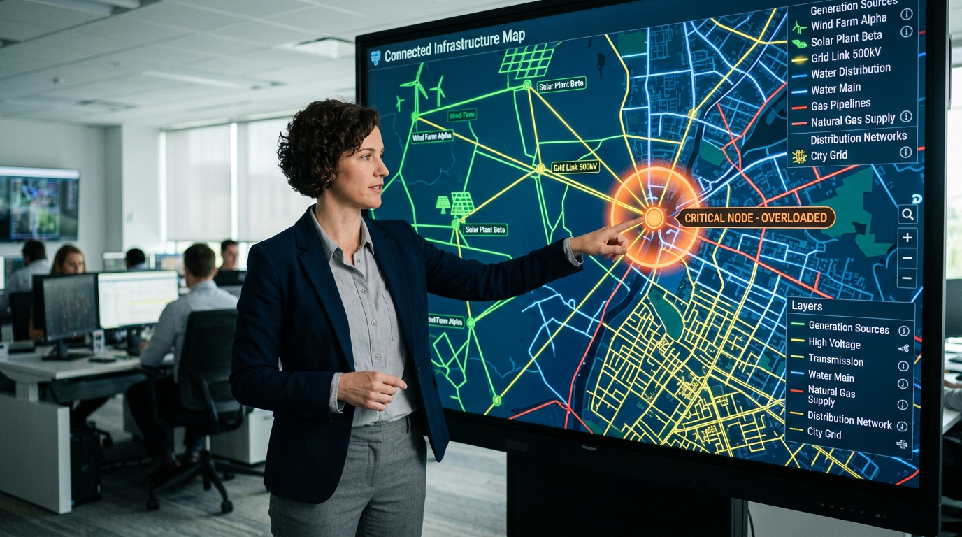
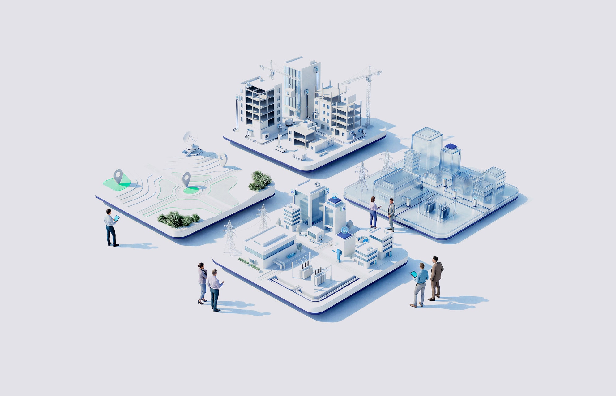
Geospatial analytics rank substations, plants and lines by flood exposure for this event, not the last one.
AI/ML models translate rising water levels into concrete guidance for protecting generation, transmission and water infrastructure.
GIS and IoT sensors connect flood forecasts to the crews and equipment closest to the exposed assets.
NTTデータのサポート体制は?
NTT DATA brings together weather intelligence, hydrological, geospatial and IoT sensor data your flood risk program depends on.

AI/ML and GIS sit where a protection or evacuation decision happens, from a control room to a substation gate.

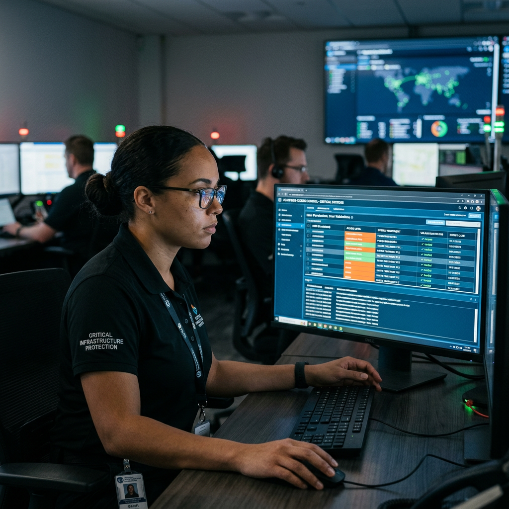
Flood risk outputs connect into your existing operational technology (OT) and enterprise systems, not another isolated layer.
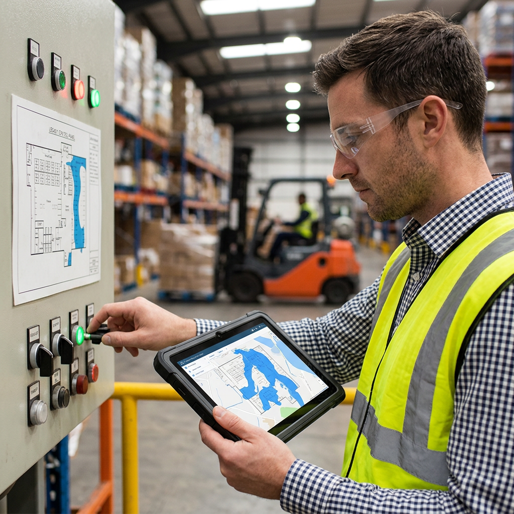
Permissions, cybersecurity controls, validation and fallback mechanisms get defined to match the safety bar your operations require.
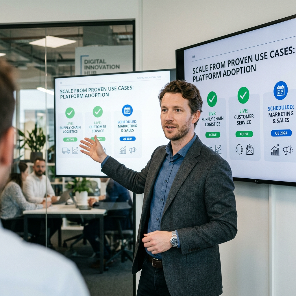
Each new flood risk use case grows from a controlled deployment measured against clear operational KPIs, so scale-up follows evidence, not guesswork.
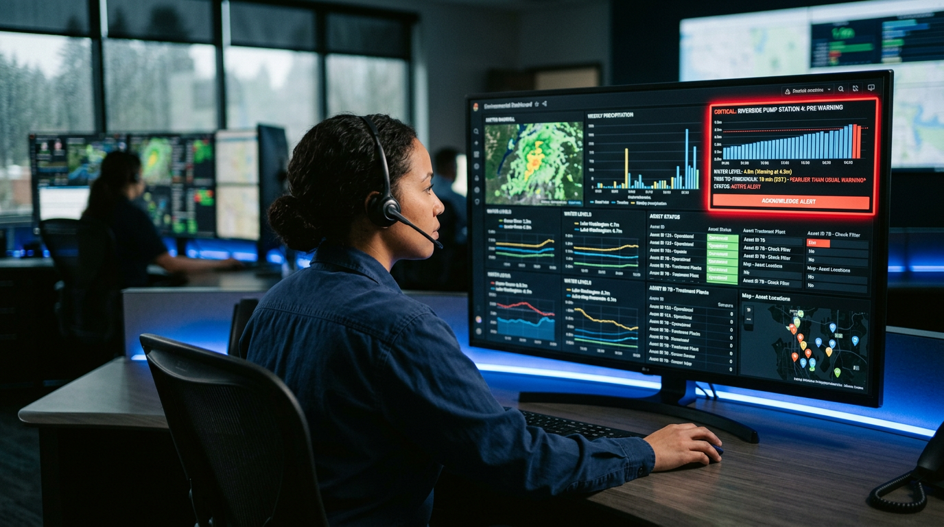
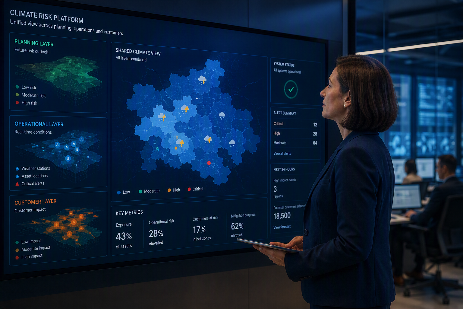
Flood risk digital management connects rainfall, water level and asset data with the decisions your teams make across every site.
Objectives depend on baseline performance, infrastructure and deployment scope across climate-risk operations.
20% to 40% reduction in risk assessment time, reflecting quicker movement from flood data to a protection decision.
15% to 30% improvement in warning lead time, giving crews more time to secure assets before water arrives.
30% to 50% reduction in manual geospatial review, freeing analysts to focus on the sites at highest risk.
20% to 40% reduction in response preparation time, reflecting quicker movement from warning to action on site.
Shape the conversation that keeps rising water from reaching your critical assets.