- All Foundries

- 商品管理と取引

- 顧客とマーケティング戦略

- デジタルエンジニアリング

- ステーション・スタジオ

- サプライチェーン&インダストリー5.0
- サステナビリティ

- Physical AI

- Next-Gen Infrastructure


All Foundries
商品管理と取引
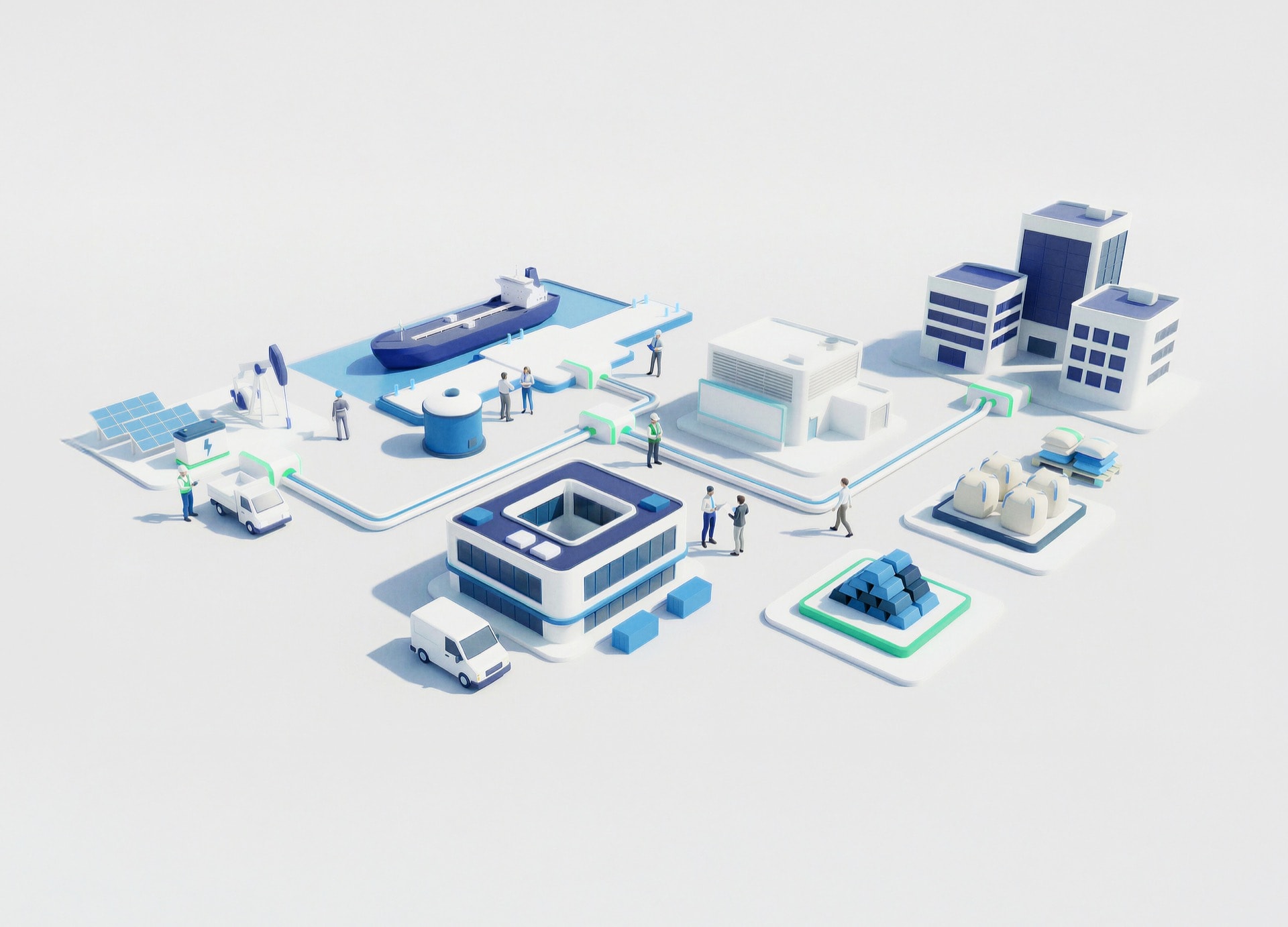
データに基づくインサイトと、セキュアで機動性の高いプラットフォームにより、グローバルな商取引を支えるトレーディングエコシステムを変革します。

顧客とマーケティング戦略
パーソナライズされたつながりある体験を通じて顧客エンゲージメントを再構築し、信頼と長期的な価値を築きます。
デジタルエンジニアリング
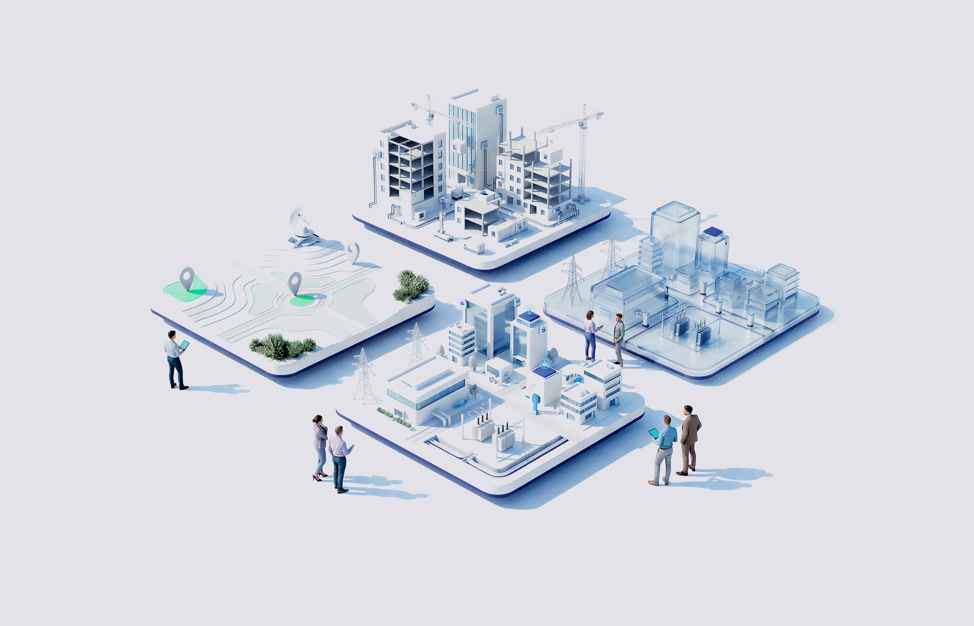
アイデアをスケーラブルなデジタルソリューションへと転換し、デザイン・テクノロジー・エンジニアリングの力で加速させます。
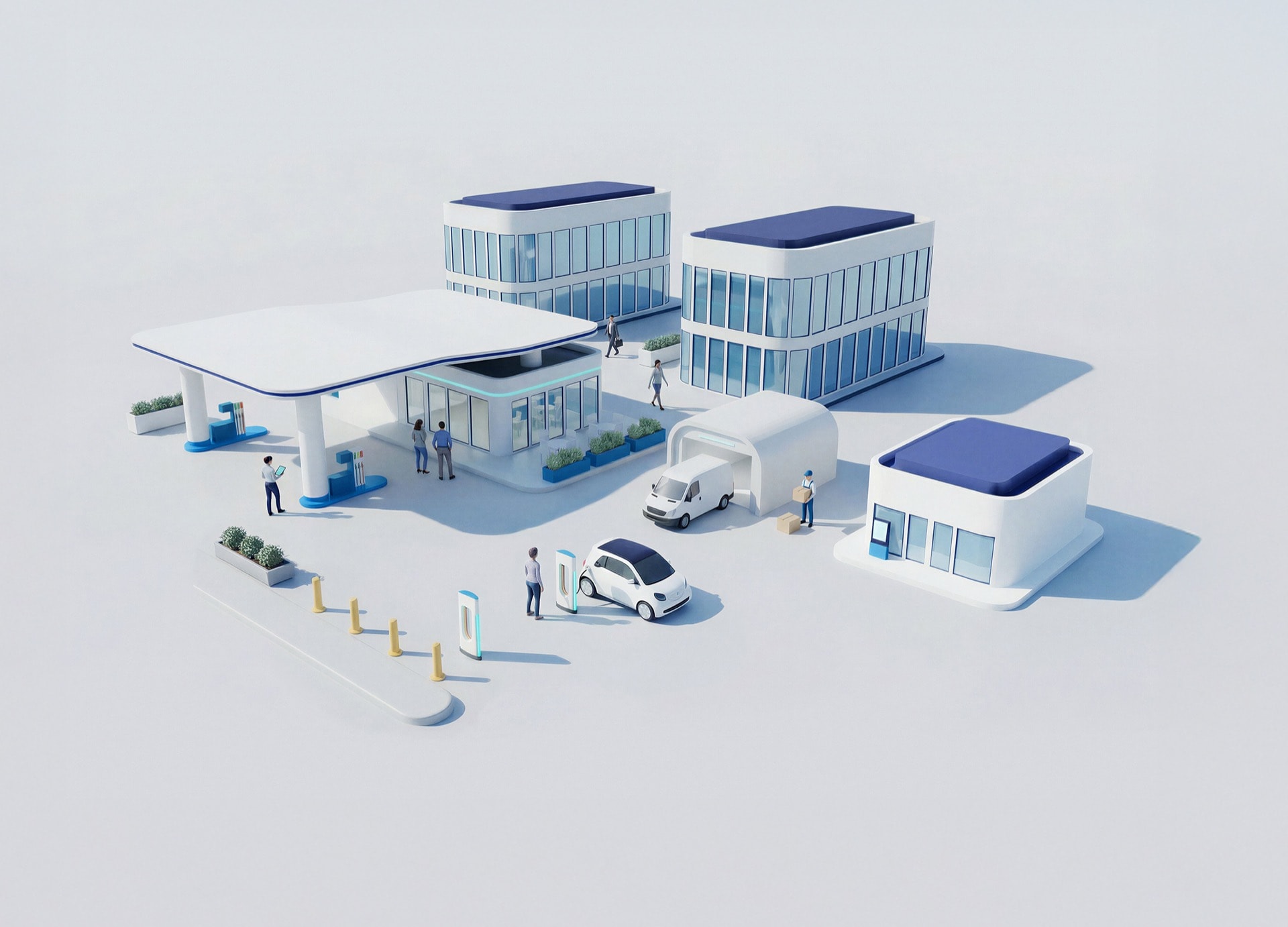
ステーション・スタジオ
デジタルイノベーションでモビリティハブを再定義し、移動中の人々と企業に、よりスマートでサステナブルな体験を創出します。
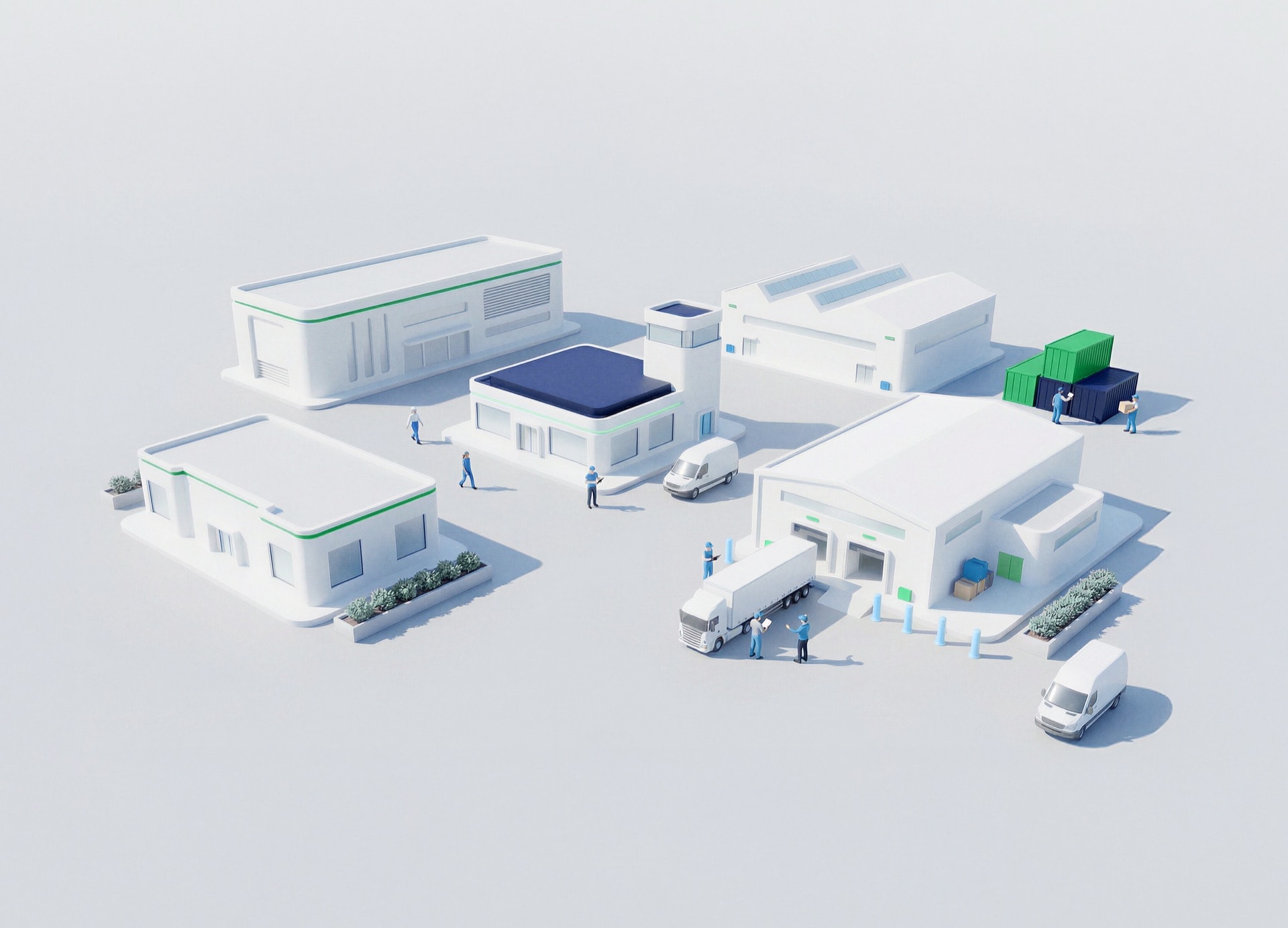
サプライチェーン&インダストリー5.0
変化を予測し、目的を持って効率性を実現する、強靭で知的な供給ネットワークを構築します。
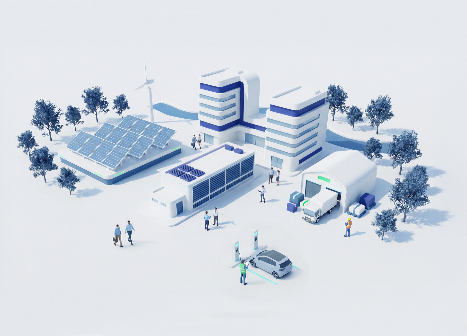
サステナビリティ
責任あるイノベーションを推進し、組織がネットゼロ目標を達成し、将来の世代に良い影響をもたらすよう応援します。
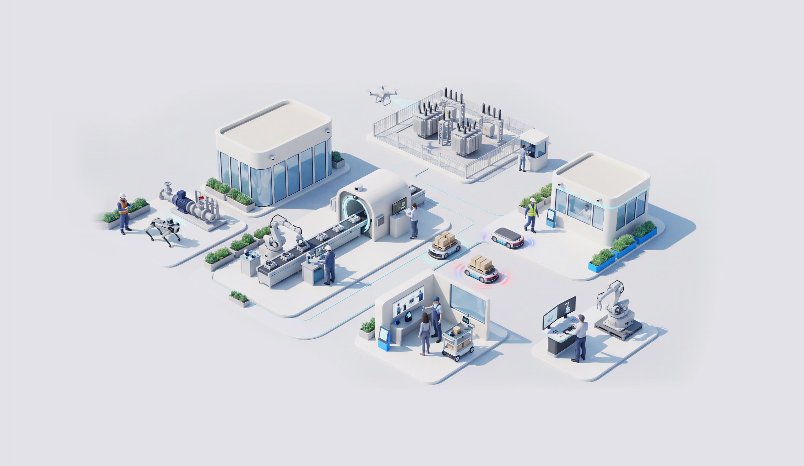
Physical AI
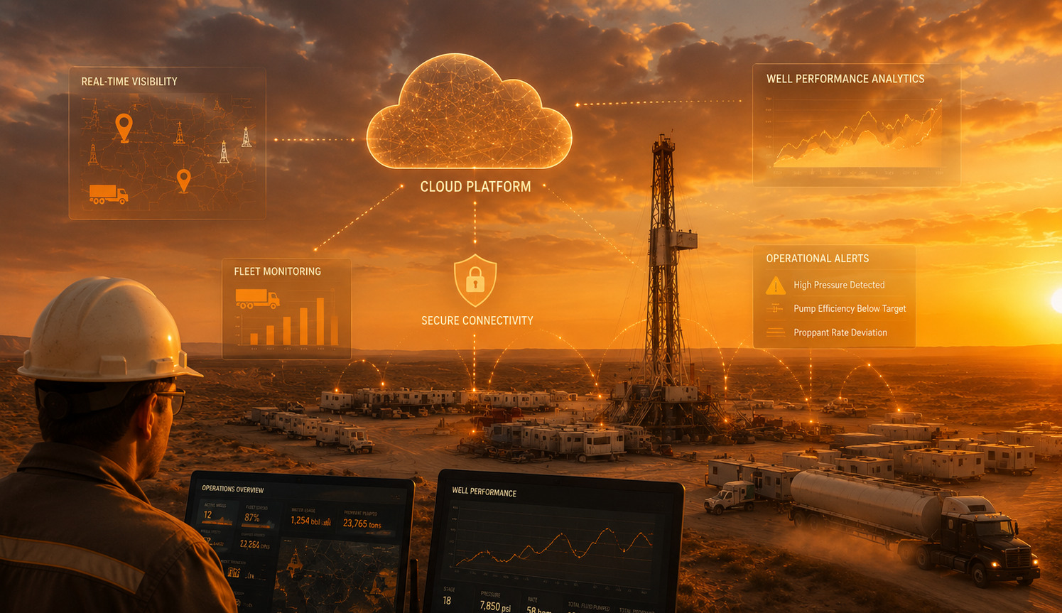
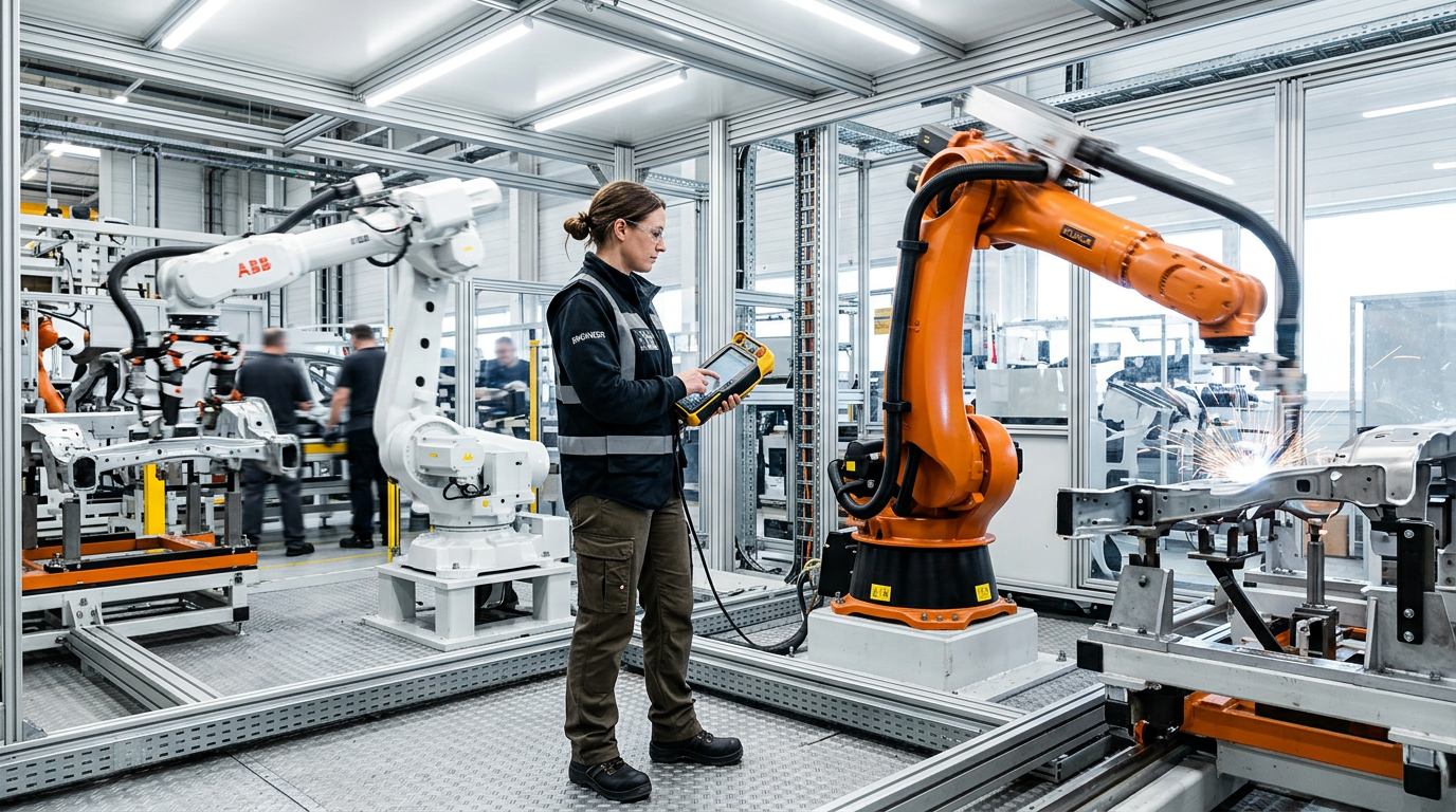
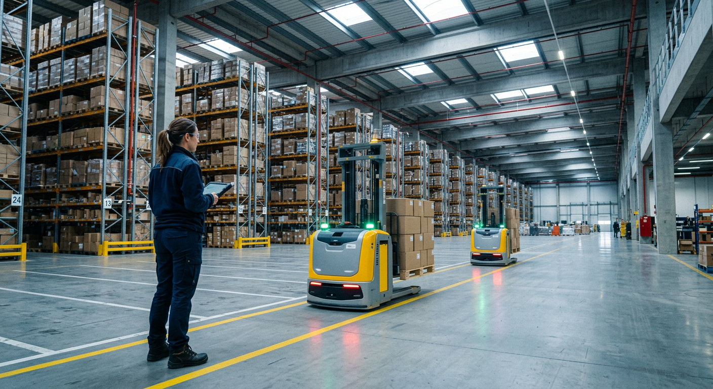
Physical AI gives machines, robots and physical operations the ability to perceive their environment, decide what matters and act in real time. Factories, plants, stores and infrastructure become systems able to sense conditions, learn from them and improve on their own, closing the gap between the physical and the digital world.
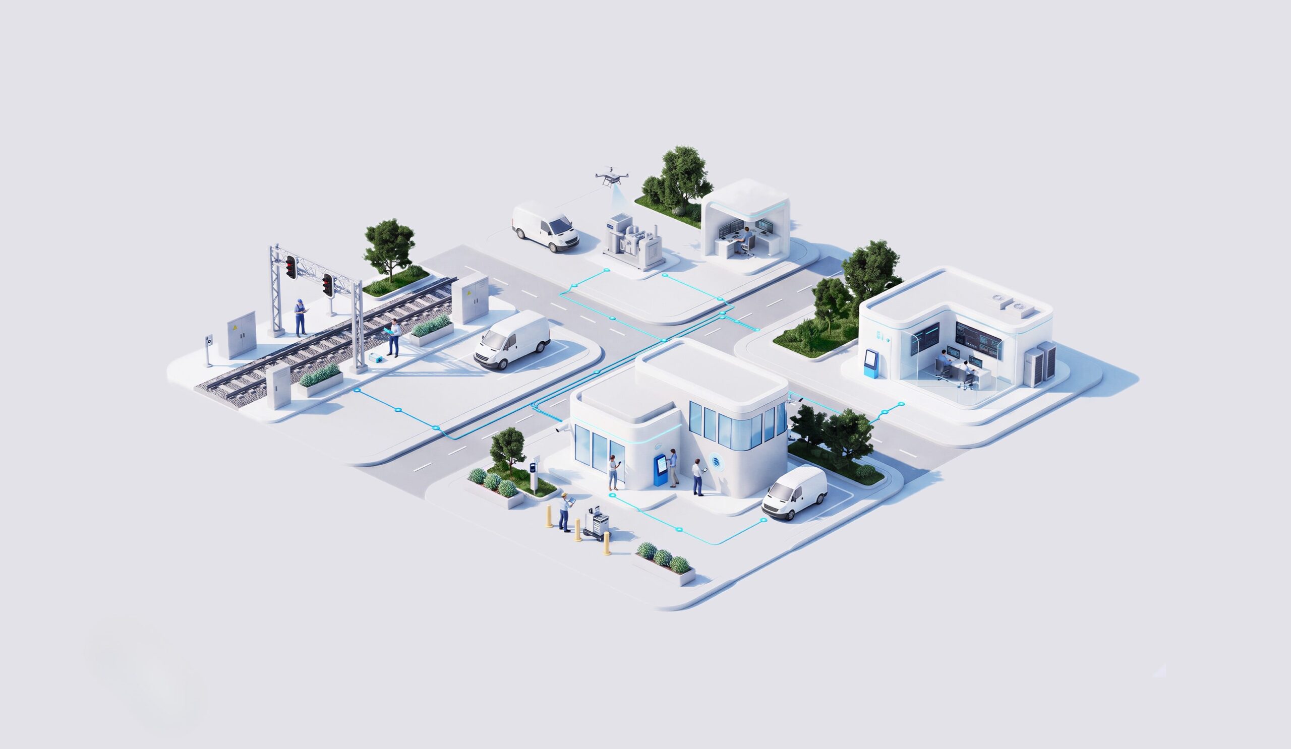
Next-Gen Infrastructure
From networks as infrastructure to connected platforms that enable critical, autonomous and intelligent operations.
ポッドキャストを聴く
-15
+15
0:00
/0:00
エンジニアリングの意思決定は、地理的および環境的な文脈を十分に踏まえられていないケースが多く見られます。
なぜ資産とデータの可視化にGISソリューションが必要なのか
GISソリューションは空間データ、技術データ、環境データを統合し、開発チームと建設チーム間の承認プロセスの迅速化、リスク低減、連携強化を実現します。
位置情報をインテリジェンスとして活用し、意思決定に生きるコンテキストを提供します。
主なメリット

計画精度の向上
環境コンプライアンス
データ統合
スキルの習得
NTTデータのサポート体制は?
01
GISプラットフォームの設計と導入

02
BIM–GIS統合

03
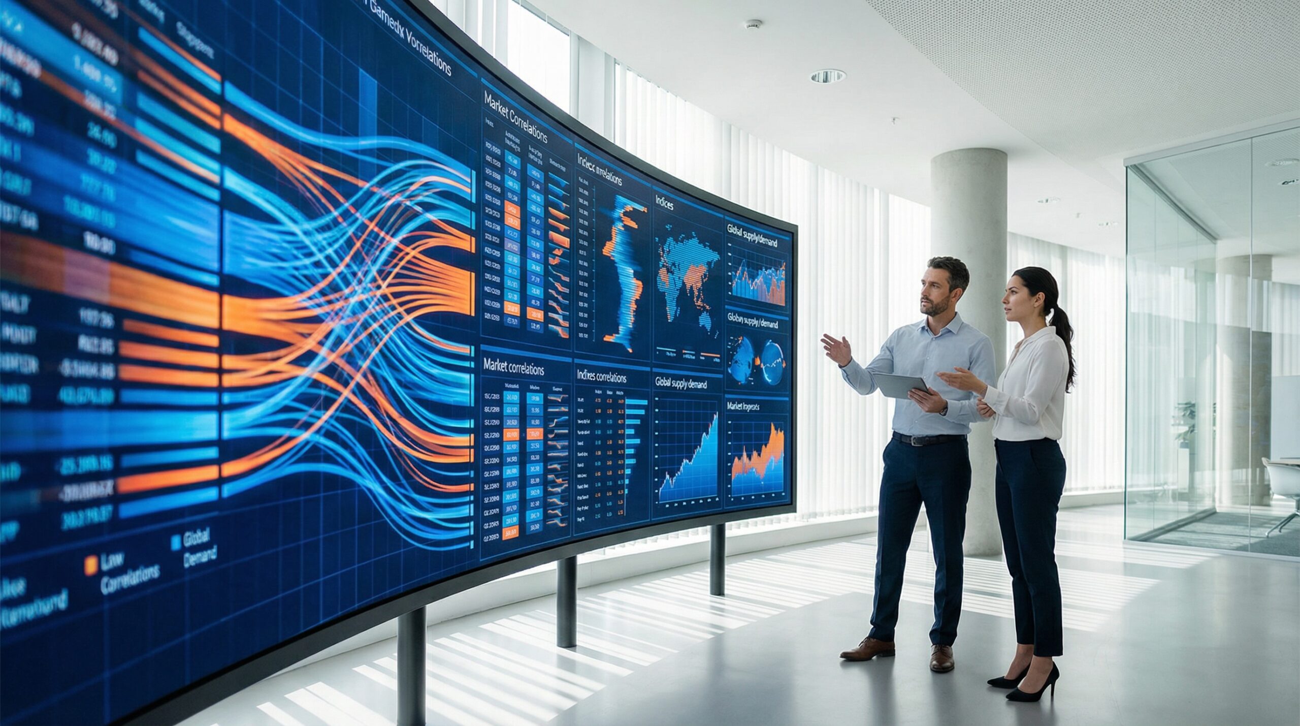
空間分析
04
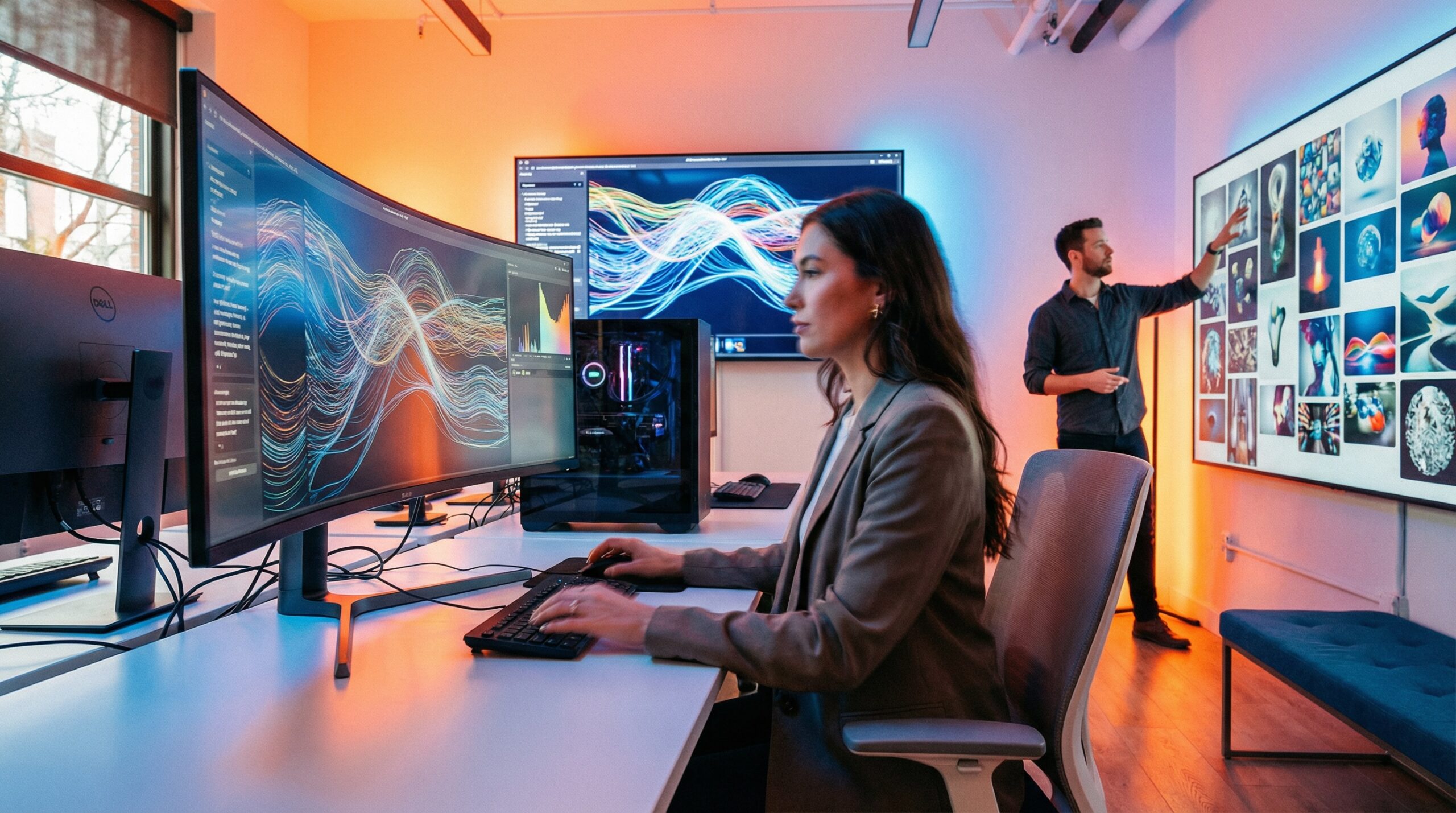
変化と実現
実証済みの効果
計画効率の向上
重要な結果
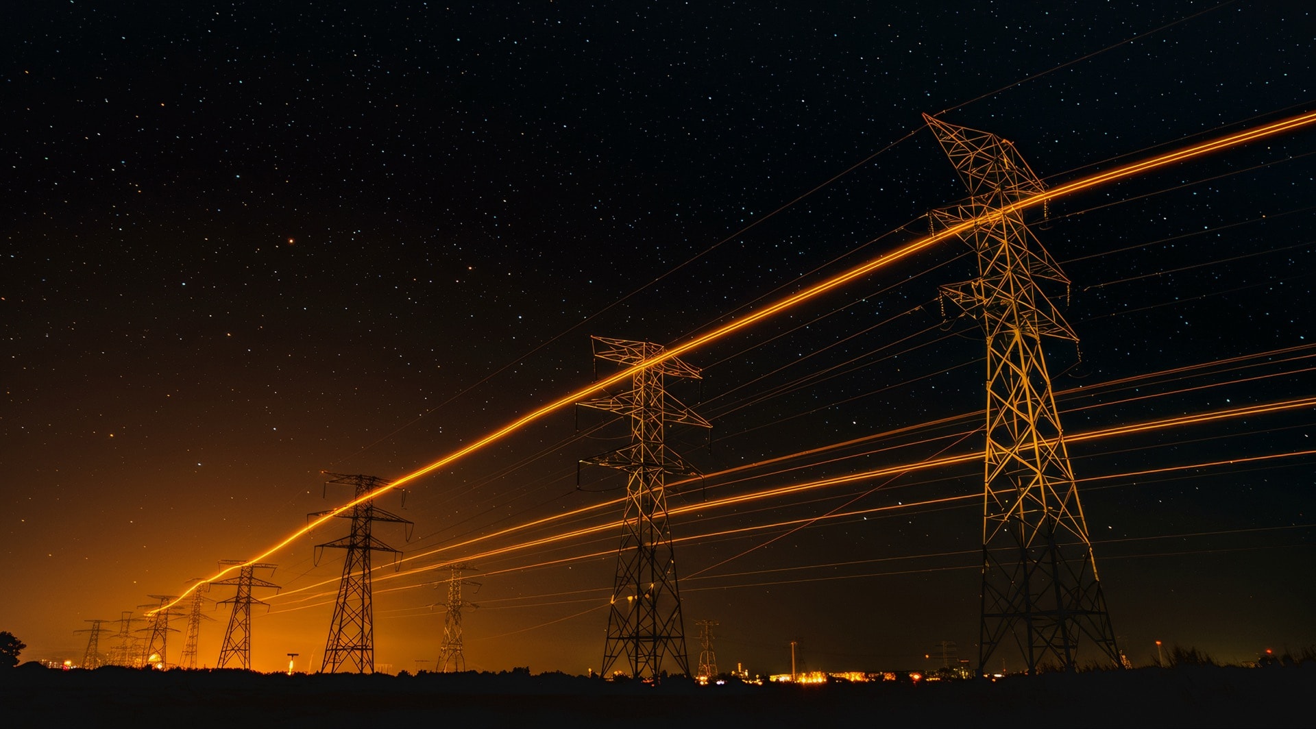
エネルギー発電および再生可能エネルギー分野の企業は、定量的な改善を実現しています:
承認リードタイム
削減された
計画精度
増加した
環境問題
最小化