- Commodity Management & Trading

- Customer & Marketing Strategy

- Digital Engineering

- Station Studio

- Supply Chain & Industry 5.0
- Sustainability


Commodity Management & Trading
Transforming trading ecosystems through data-driven insights and secure, agile platforms that empower global commerce.

Customer & Marketing Strategy
Reimagining customer engagement with personalized, connected experiences that build trust and long-term value.

Digital Engineering
Turning ideas into scalable digital solutions—accelerating transformation through design, technology, and engineering excellence.
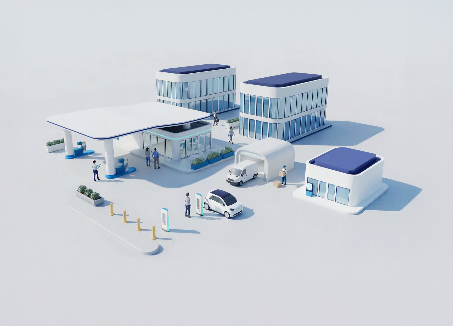
Station Studio
Redefining mobility hubs with digital innovation to create smarter, sustainable experiences for people and businesses on the move.
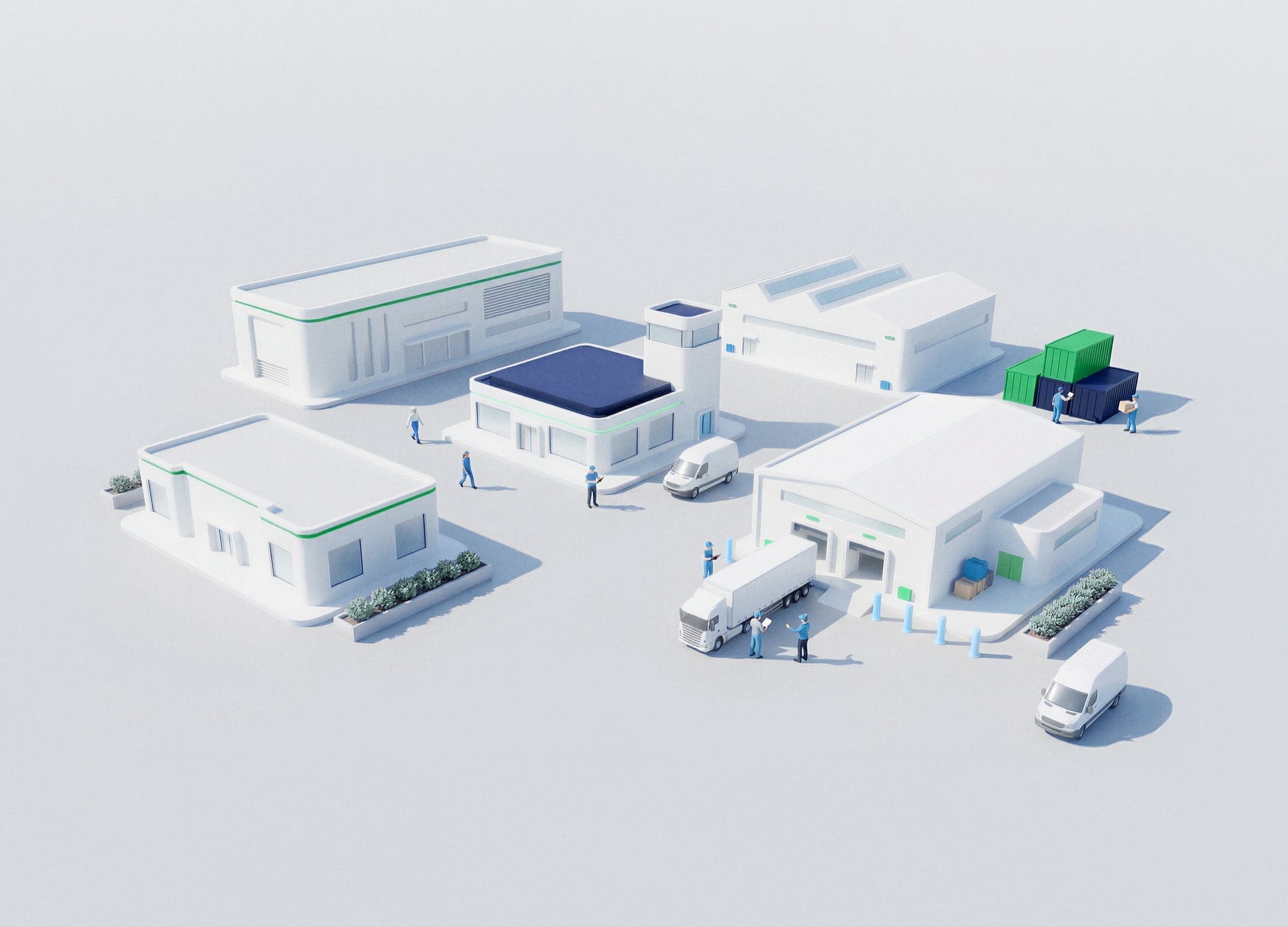
Supply Chain & Industry 5.0
Building resilient, intelligent supply networks that anticipate change and deliver efficiency with purpose.
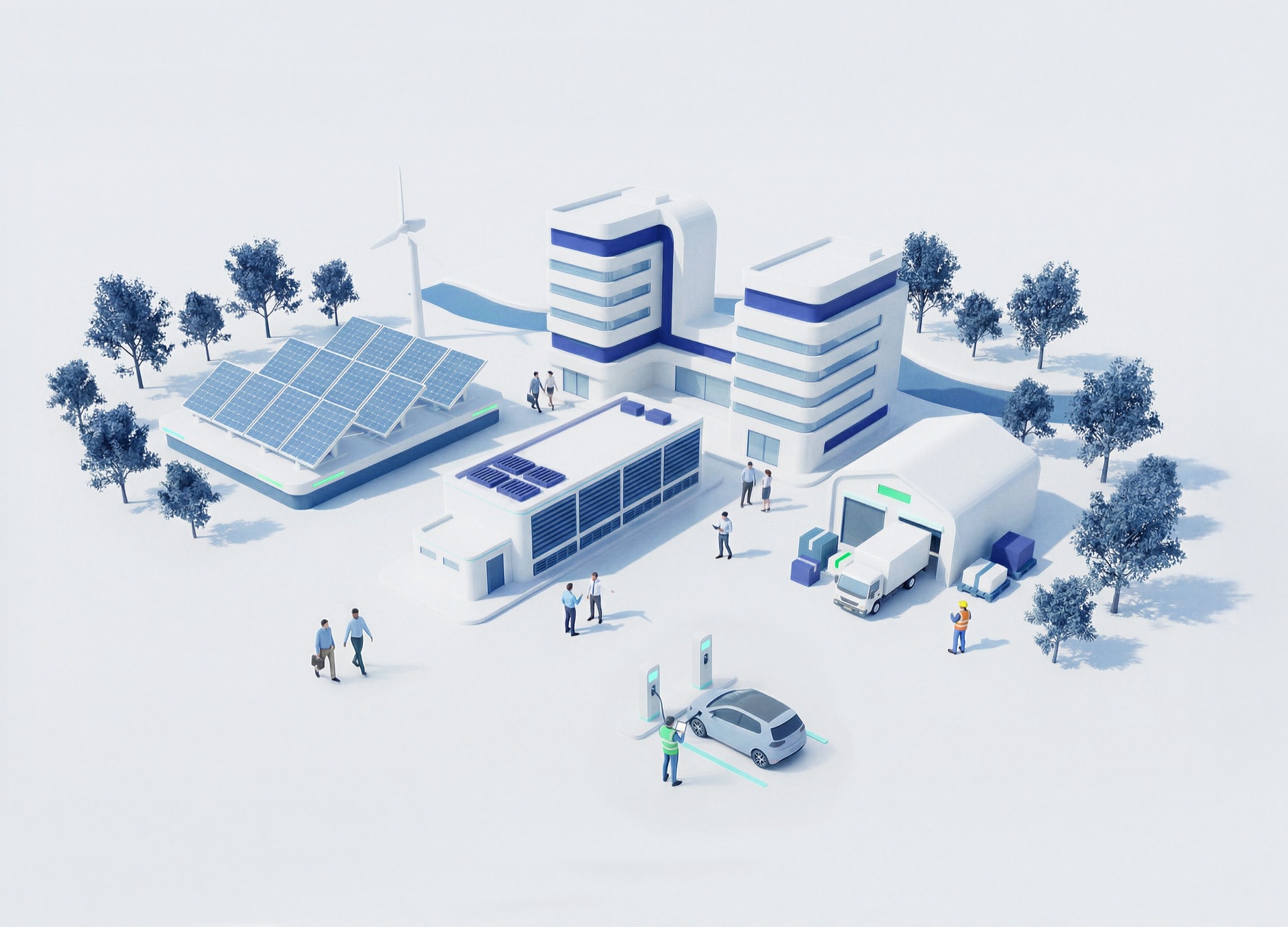
Sustainability
Driving responsible innovation to help organizations achieve net-zero goals and create a positive impact for future generations.


BUSINESS TALK
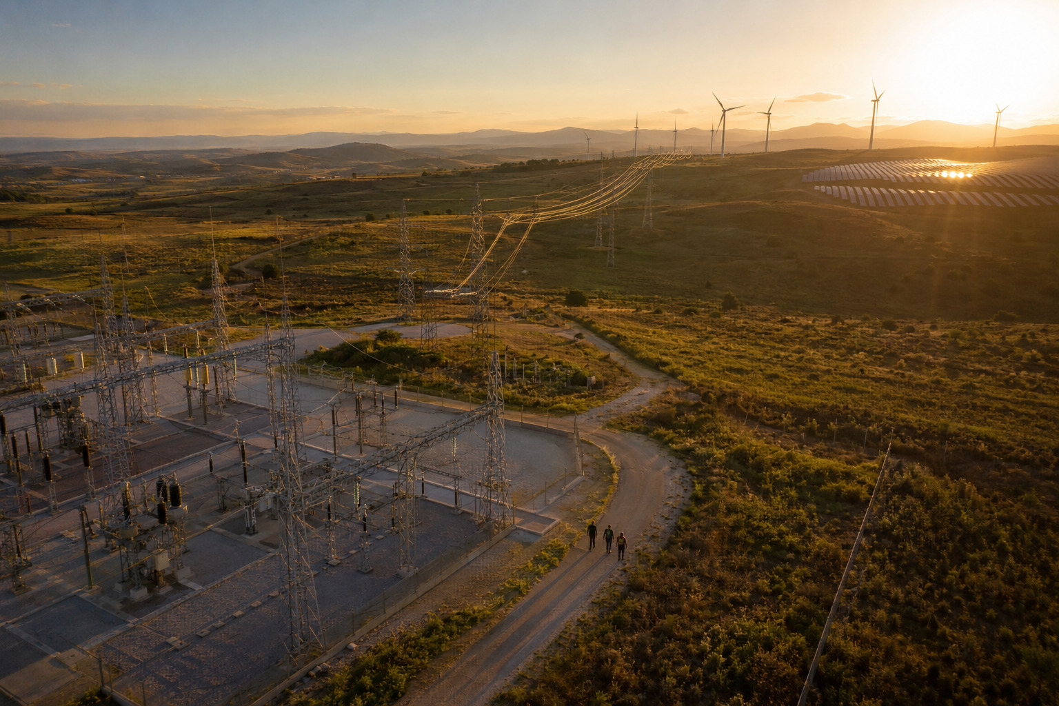
GIS Solutions to Visualize Assets and Data
Adding spatial intelligence to asset planning and execution
Schedule a meeting
Listen podcast
-15
+15
0:00
/0:00
Engineering decisions often lack geographic and environmental context.
WHY GIS SOLUTIONS TO VISUALIZE ASSETS AND DATA?
GIS solutions unify spatial, technical, and environmental data, enabling faster approvals, reduced risk, and better coordination across development and construction teams.
This delivers location as intelligence—context that informs decisions.
Key benefits
Improved planning accuracy
Environmental compliance
Data integration
Skills adoption
How NTT DATA helps
01
GIS platform design and deployment

02
BIM–GIS integration

03
Spatial analytics

04
Change and enablement


Proven impact
Planning efficiency improved
Results that matter
Energy generation & renewables organizations achieve measurable improvements:
Approval lead time
Reduced
Planning accuracy
Increased
Environmental issues
Minimized