Long-Range UAV Inspection for Gas Pipelines
When a gas pipeline stretches across remote terrain, visibility becomes an operating challenge. A gas infrastructure operator implemented a long-range UAV inspection capability that uses visual, thermal and multispectral sensing to capture evidence of vegetation, third-party activity and other external threats across extended corridors. The initiative connects field capture with processing, review and operational follow-up, turning remote inspection evidence into a reusable workflow for engineering, operations and maintenance teams.
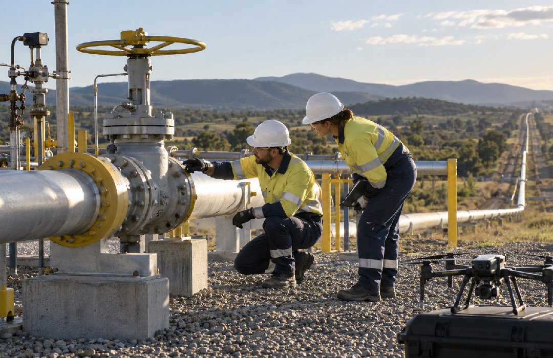
Long-range inspection drone flying above an exposed gas pipeline corridor through mountainous terrain at sunrise.
CORRIDOR SCALE
Approx. 100 km of pipeline corridor
MISSION SECTIONS
Approx. 20 km per inspection section
PROGRAMME DURATION
9-month implementation programme
DELIVERY TEAM
7–8 FTE supporting delivery
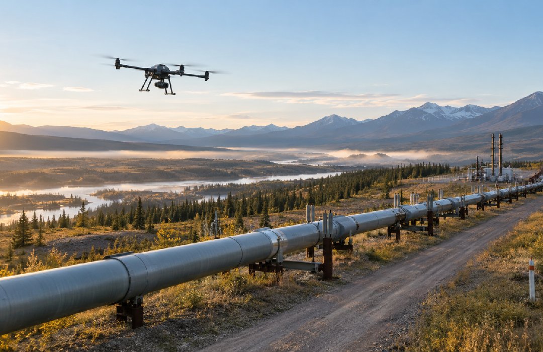
Two pipeline technicians inspecting a valve assembly beside a drone at an onshore gas pipeline facility.
Extending pipeline intelligence beyond the ground

Long-range UAV operations connected multi-sensor field evidence with a structured path from capture to review and operational follow-up.

Pipeline visibility must travel as far as the asset itself
目的
The initiative set out to implement a repeatable way to inspect long sections of open-air gas pipeline without relying solely on ground observation. It needed to capture visual, thermal and multispectral evidence of vegetation, third-party activity, incidents and other external threats, while fitting the operator’s terrain, permissions and logistics. Just as importantly, the evidence had to be structured so engineering, operations and maintenance teams could review, trace and act on it.
機会
With the inspection chain established, the operator has an opportunity to extend the approach across gas pipeline right-of-way inspection. Repeatable missions and reusable evidence can support more consistent corridor surveillance, strengthen operational follow-up and create a foundation for more automated pipeline inspection.
Making remote inspection operational at corridor scale

The value of the capability depended on more than flight performance. It had to work across a dispersed physical network, under real operating constraints, and produce evidence that teams could trust and reuse.
主な課題
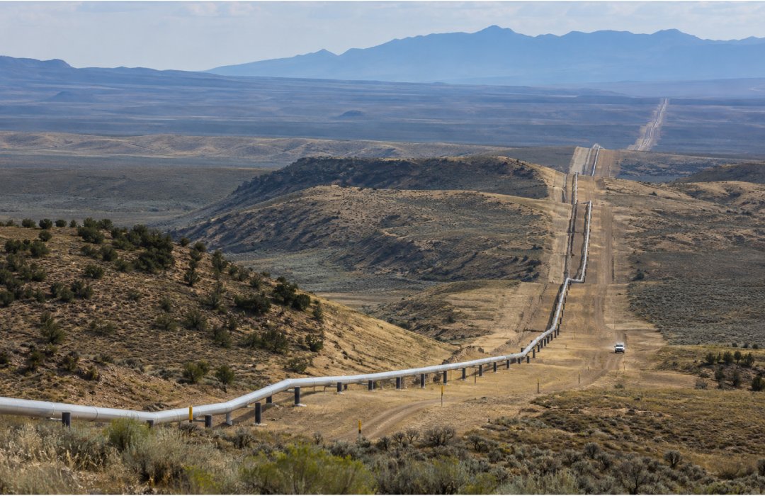
Gas pipeline and right-of-way extending across a vast semi-arid landscape toward distant mountains.
1: Sustained corridor coverage
Open-air gas pipelines extend across large areas and require repeated observation for vegetation, third-party activity and other external threats.
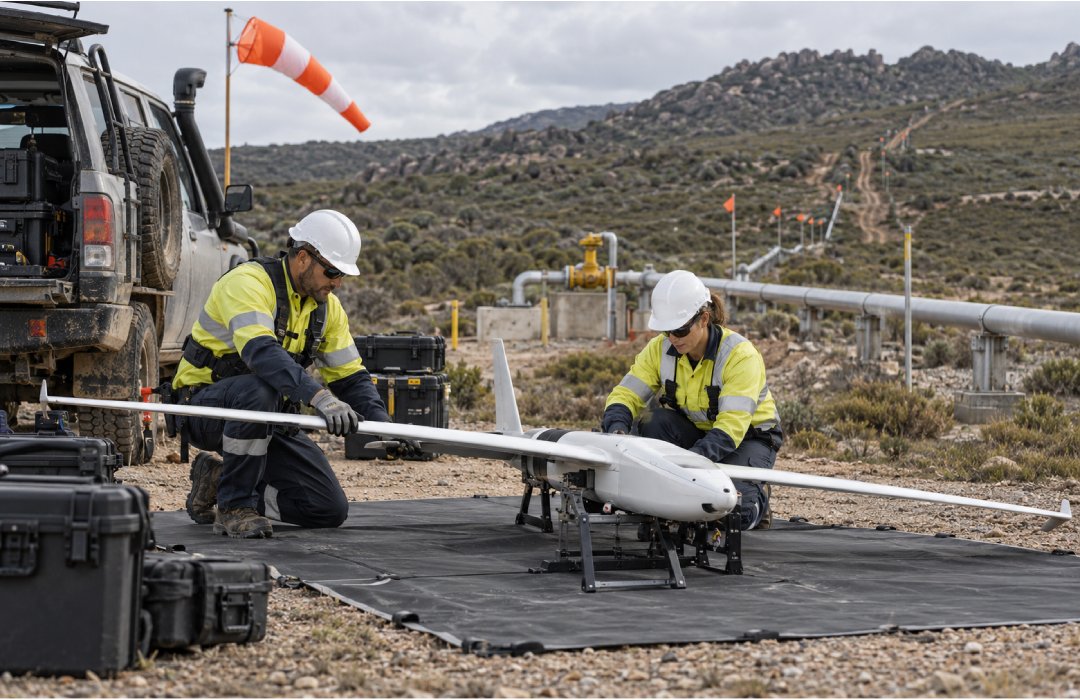
Field team preparing a fixed-wing UAV beside an exposed gas pipeline in rugged terrain.
2: Complex mission conditions
Long-range operations had to account for terrain, permissions and field logistics across inspection sections of approximately 20 km.
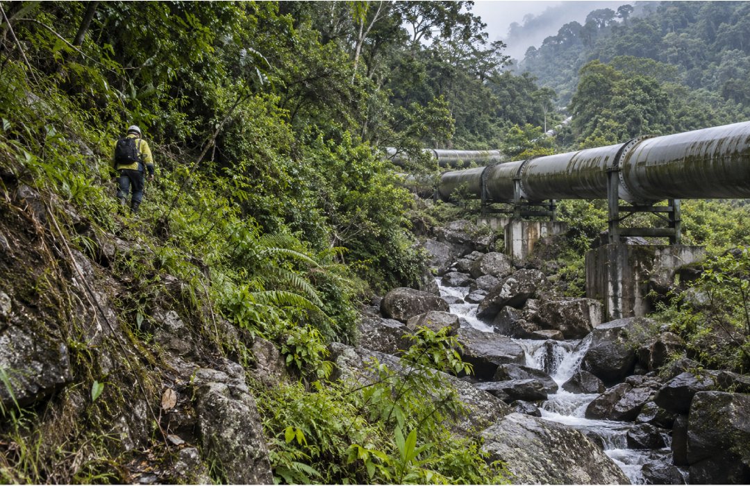
Pipeline inspector moving through dense vegetation beside an exposed pipeline crossing a rocky stream.
3: Ground inspection constraints
Manual inspection can be slow, difficult to standardize and shaped by access limitations and exposure to field safety risks.
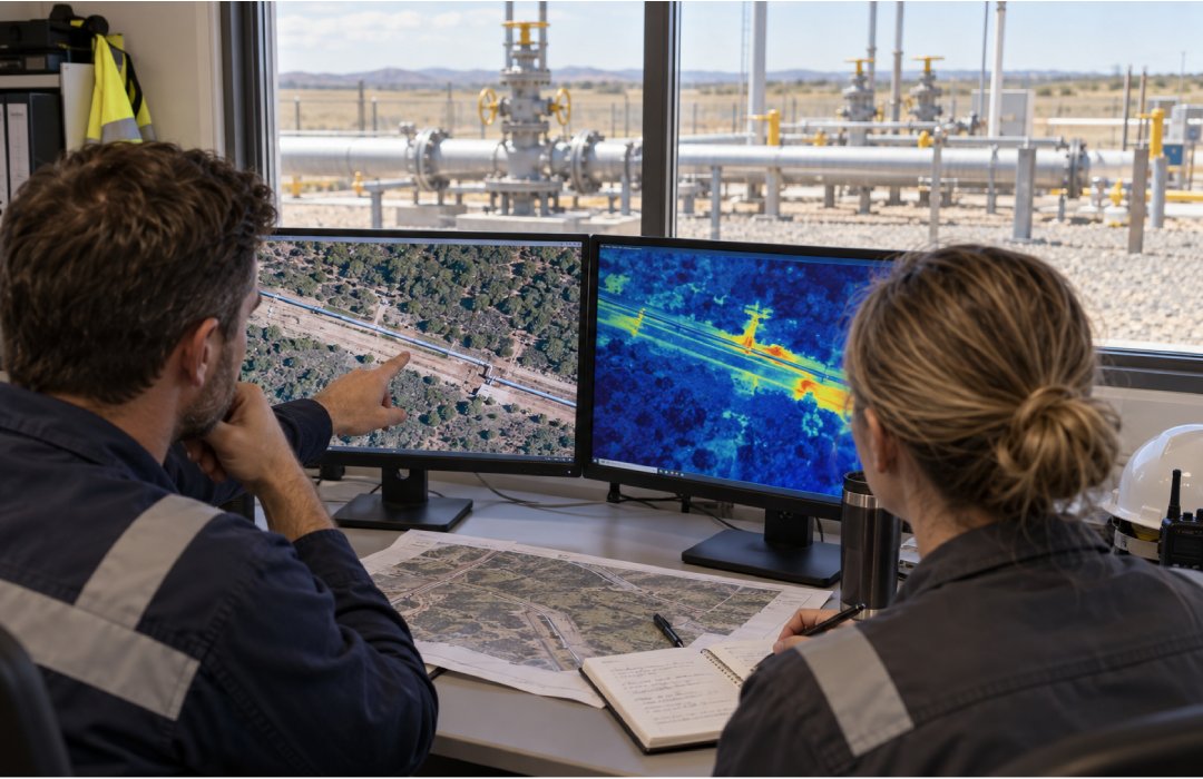
Engineering and maintenance professionals reviewing aerial and thermal pipeline imagery with a gas valve yard visible outside.
4: Actionable evidence at scale
Large volumes of field evidence needed to be organized so engineering, operations and maintenance teams could review, trace and use it.
解決策
A connected inspection chain from flight to follow-up

The programme combined long-range UAVs, multi-sensor capture, mission planning and a digital workflow designed around repeatable operational use.

チェックアイコン
Long-range multi-sensor capture

UAVs equipped with visual, thermal and multispectral cameras captured evidence across extended pipeline sections, including vegetation and potential external threats.

チェックアイコン
Mission-led operating design

Flights were planned around terrain, permissions and operating logistics, structuring inspection into sections of approximately 20 km.

チェックアイコン
Remote field observation

The capability extended evidence capture into locations where manual inspection is slow or operationally constrained, reducing reliance on ground observation alone.

チェックアイコン
Digital evidence workflow

Captured information moved through processing, review and operational follow-up, creating a reusable chain from field evidence to subsequent analysis and action.

影響
A clearer line of sight across the pipeline corridor

The programme provided digital inspection evidence across an approximately 100 km pipeline corridor and improved visibility of vegetation and third-party threats. It reduced the need to rely only on ground-based observation and established an operational foundation for more automated pipeline inspection.

ドラッグ