- All Foundries

- Commodity Management & Trading

- Customer & Marketing Strategy

- Digital Engineering

- Station Studio

- Supply Chain & Industry 5.0
- Sustainability

- Physical AI

- Next-Generation Infrastructure








Cooperative Autonomous Systems for Utility Inspection & Intervention
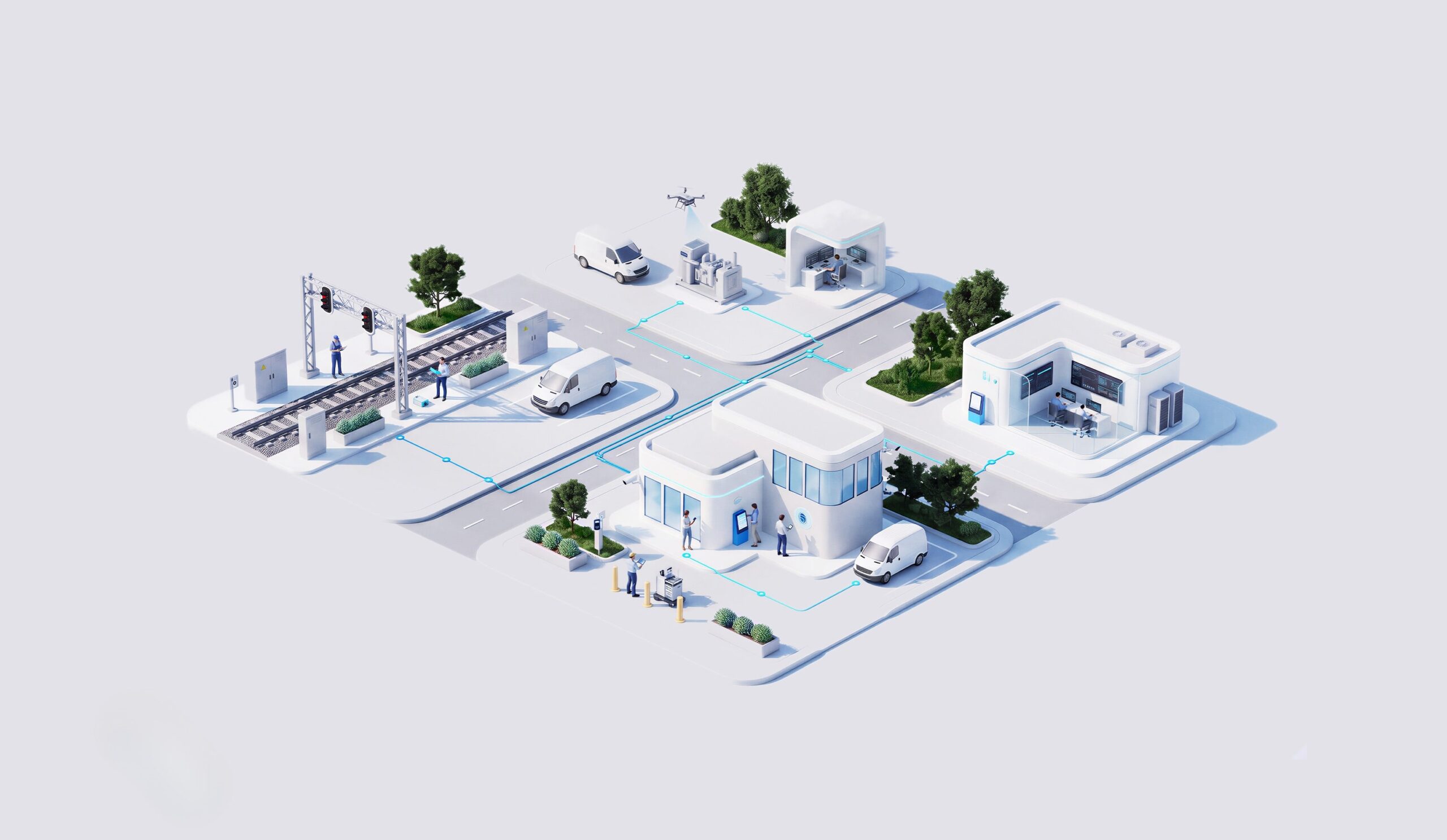
Cooperative autonomous systems extend a single drone or robot into coordinated fleets of aerial, ground or other mobile assets, each contributing complementary sensing and intervention capabilities. As future missions call for multiple autonomous systems working together, coordination, shared context, safe separation and human oversight stop being nice-to-haves and become operational requirements that the mission design has to account for from the start.
Complementary aerial and ground assets cover larger areas in a single mission than any one platform working alone ever could.

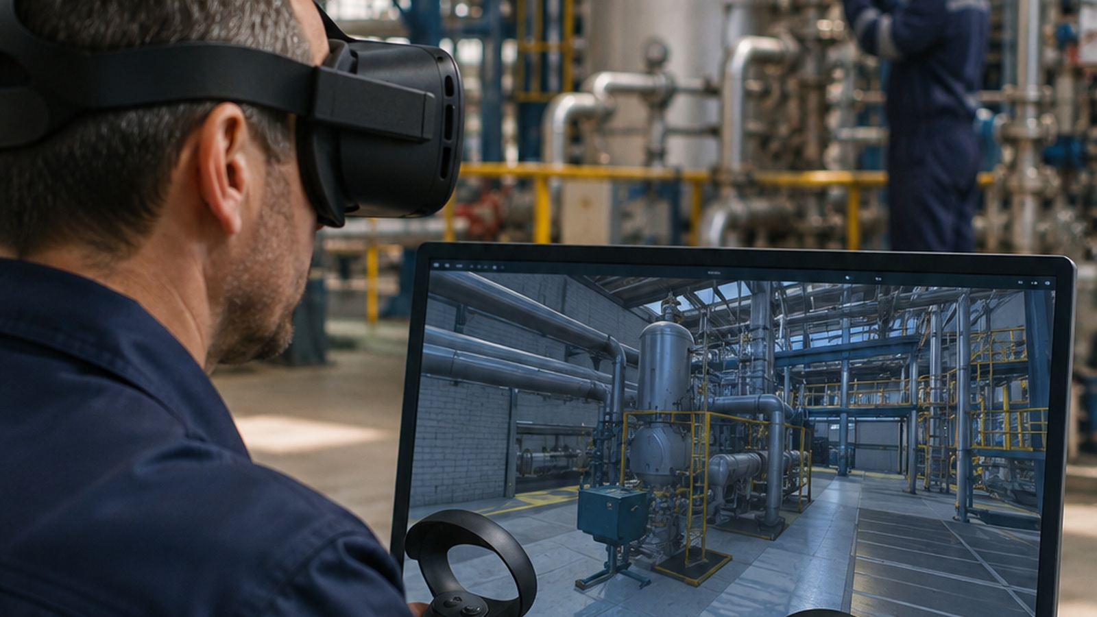
Coordinated fleets take on hazardous or hard-to-reach work so fewer people need to enter dangerous conditions directly.
Aerial and ground platforms split a mission between them, covering more ground per deployment than a single asset could alone.
Shared context lets the fleet adjust routes mid-mission as new information appears, instead of finishing a fixed flight plan blind.
Utilities can extend autonomy levels stage by stage, backed by operating experience rather than a single leap of faith.
How NTT DATA helps
NTT DATA defines multi-agent inspection and intervention missions, scoping which platforms contribute which capability to each one.

Shared mapping, coordination and safe separation are built so multiple autonomous systems can operate the same area without conflict.

Edge AI, communications and operational data are integrated so every platform in the fleet works from the same situational picture.

Autonomy levels and human intervention are governed explicitly, so oversight scales with the fleet instead of falling behind it.

Autonomy increases in stages, matched to safety, regulation and operating experience, rather than being fixed at the start of the program.
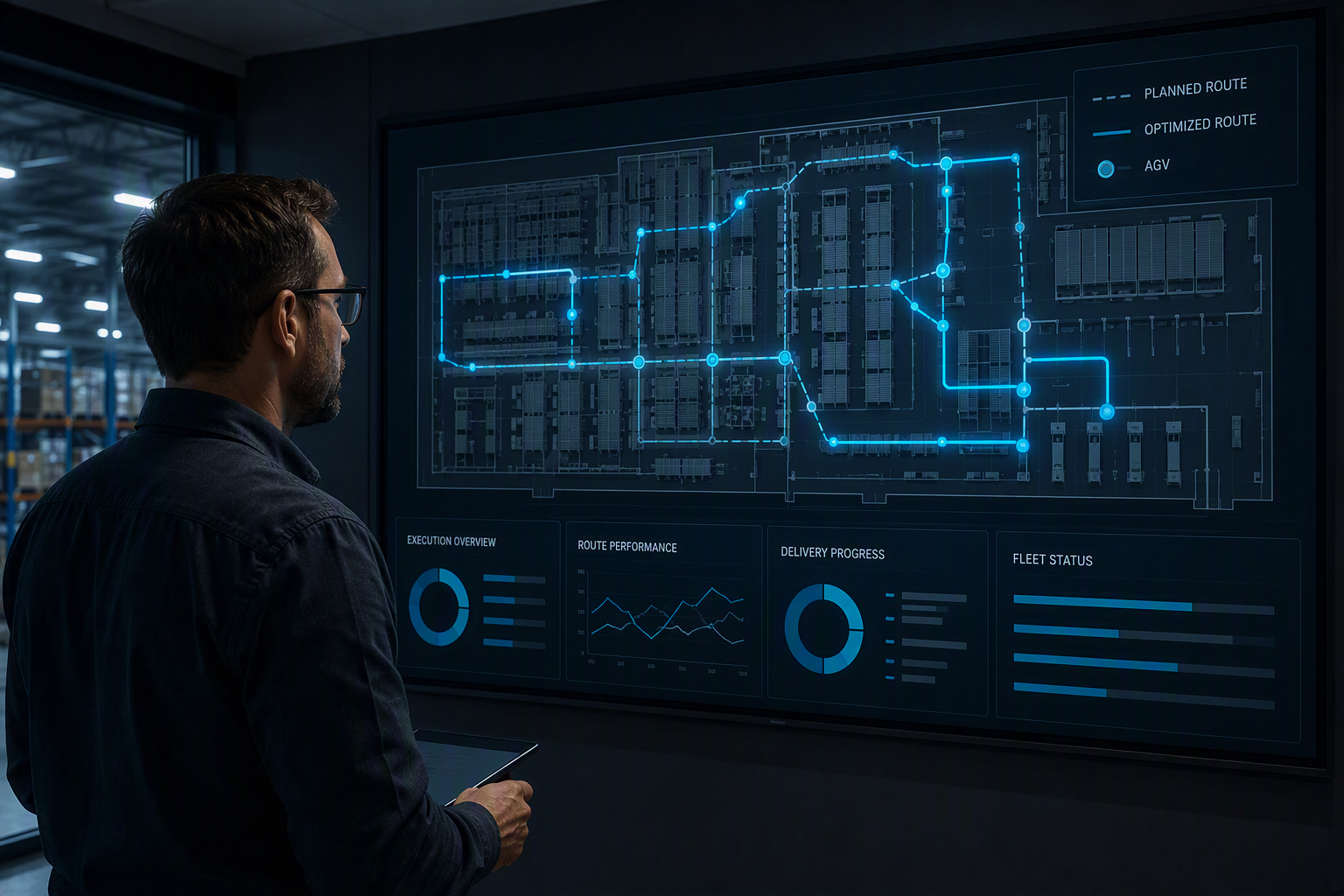

These are indicative targets: results vary with fleet size, mission complexity, coordination maturity and platform mix across the program.
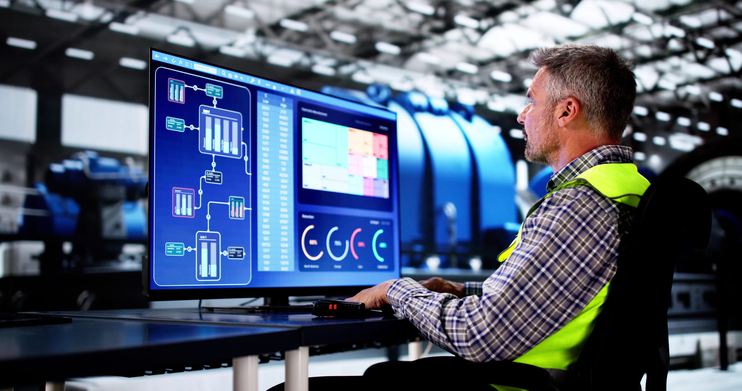
Remote-operation availability is tracked from baseline through target, confirming the fleet is ready whenever a coordinated mission is called.
Cycle time is measured end to end, from mission launch to the moment every platform reports its findings back.
Exposure to hazardous tasks is tracked directly, showing how much dangerous ground work the fleet now takes on instead.
Mission success and exception rates are monitored per platform and as a fleet, so coordination failures surface early, not after the fact.
Build shared mapping, coordination and governed autonomy so aerial and ground platforms work missions together, not apart.